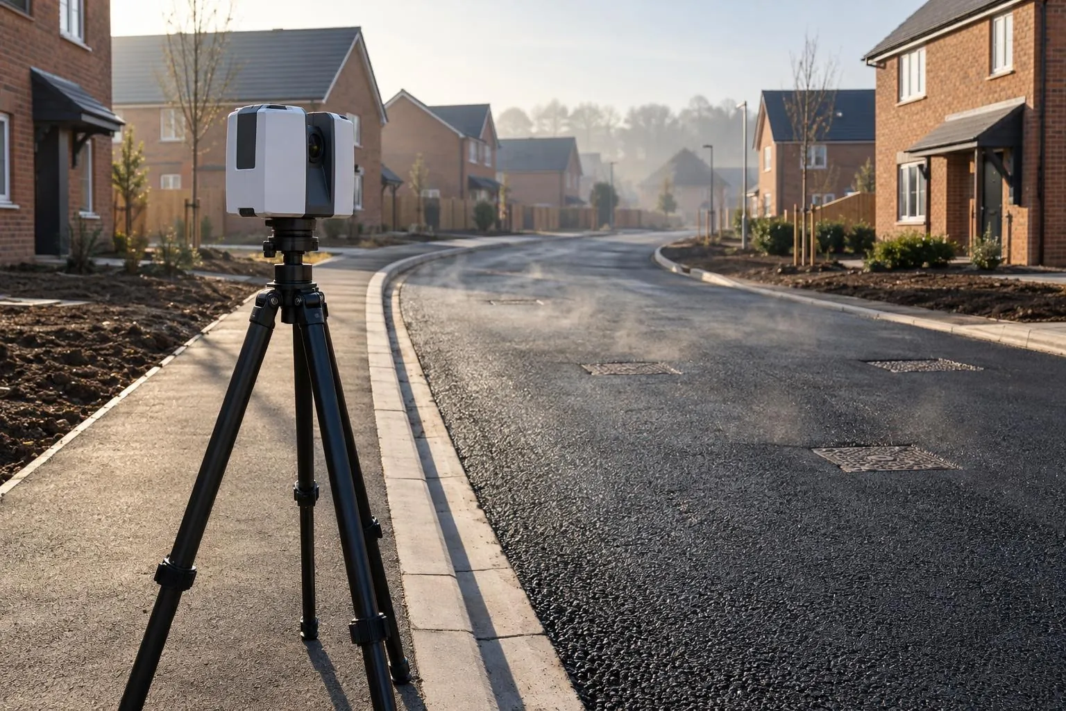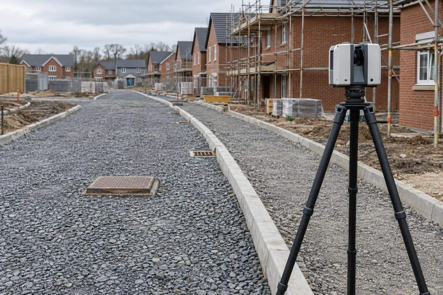
Road & sub-base level surveys
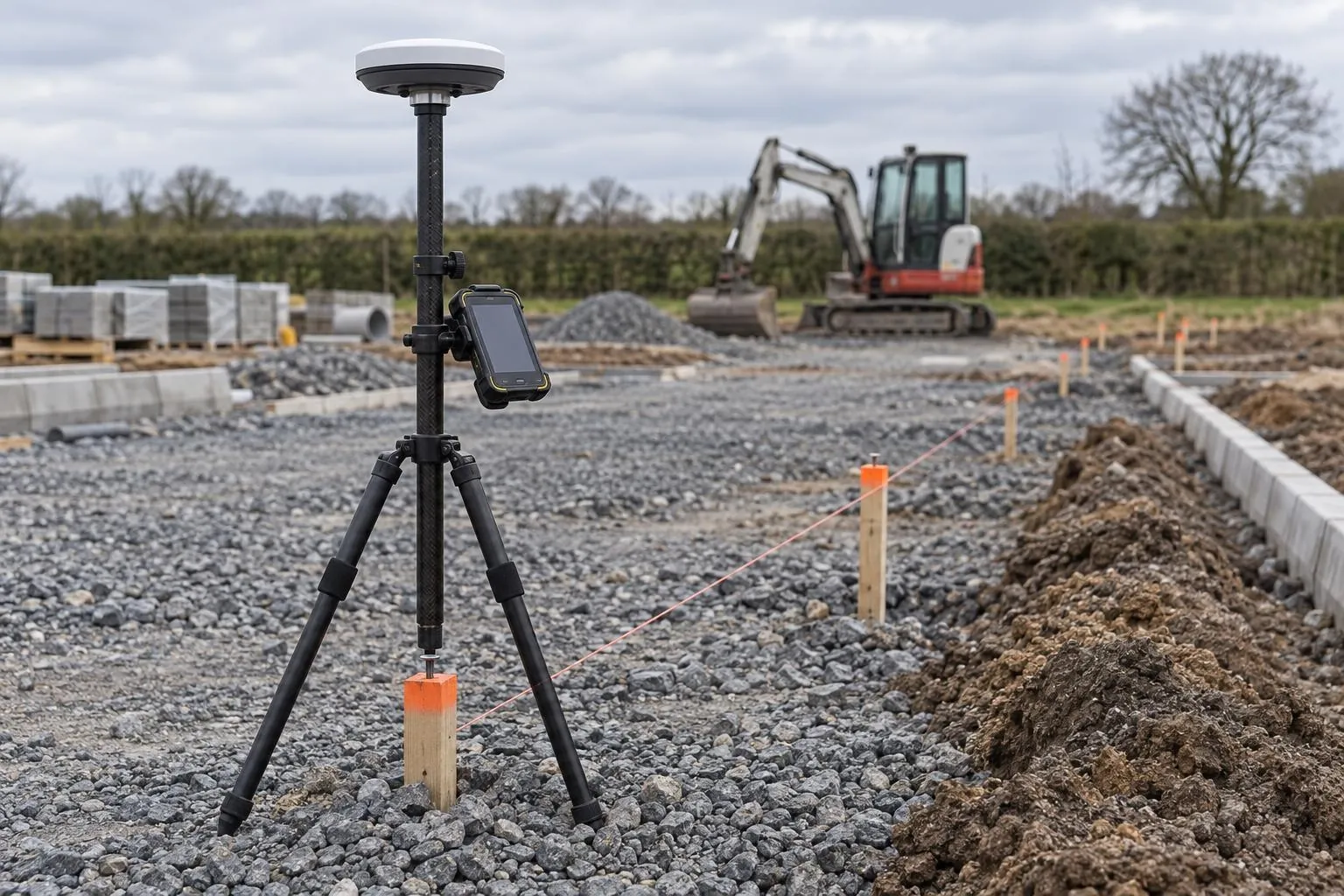
Sub-base and binder checked against the road design before the next layer goes on.
Stockpile volume surveys
Know what's actually on site. We fly your stockpiles, fix the model to RTK GNSS control and give you cubic metres and tonnes for every heap, with an aerial image showing exactly what was measured.
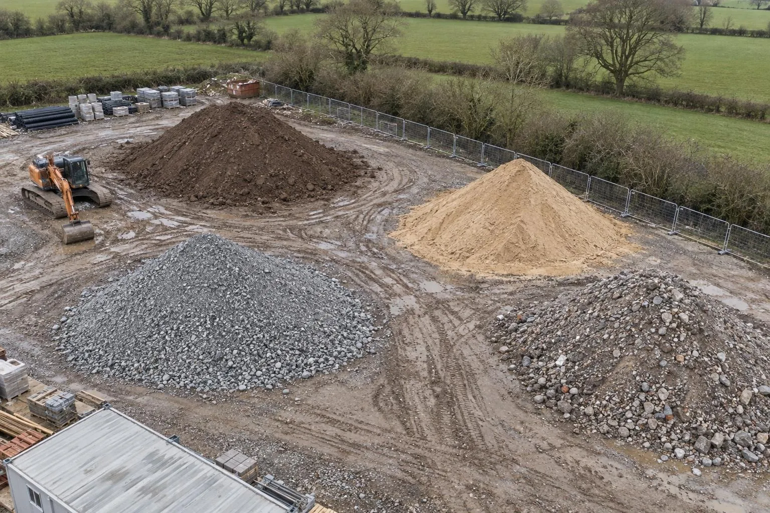
In short: a stockpile volume survey measures how much material is in each heap. We fly the piles with a drone, tie the model to ground control measured with RTK GNSS, and report the volume of every pile in cubic metres, plus tonnage when the density is known, usually the next working day.
On a groundworks job, the stone, topsoil and muck sitting on site is money. Over-order Type 1 and it's wasted; under-order and a gang stands waiting. Muck-away loads get disputed. Topsoil gets stripped, stored and respread, and nobody's quite sure whether there's enough to go back on the gardens. Estimating piles by eye or by counting wagon loads is where those numbers drift.
A controlled drone survey measures every pile in the same way, every time, without anyone climbing on them. It's quick enough to do monthly, so the numbers can sit alongside valuations, material reconciliations and cost reports.
Measuring the top of a pile is easy. Knowing what's under it is not. Where piles sit on a known, flat surface we use that. Where they were tipped onto rough ground, we build the base from the levels around the toe or, best of all, from a survey of the ground before tipping started. We tell you which method was used for each pile.
Measuring cut and fill across a whole site rather than individual heaps? See earthworks volume surveys.
Where the piles are, roughly how many, which materials and any densities you already have.
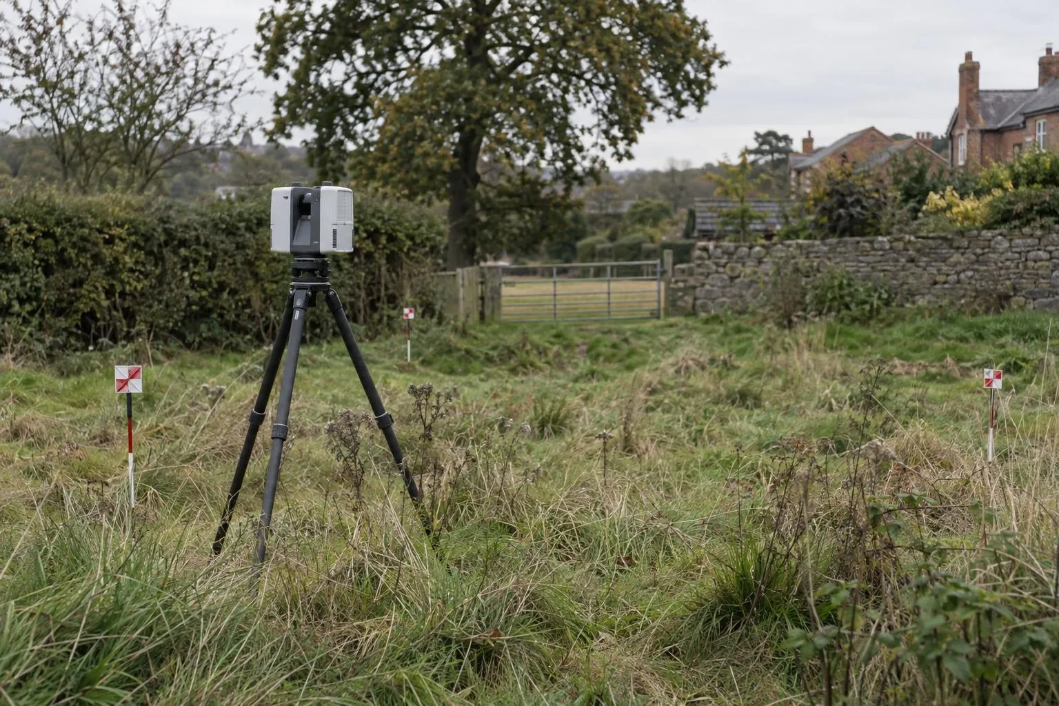
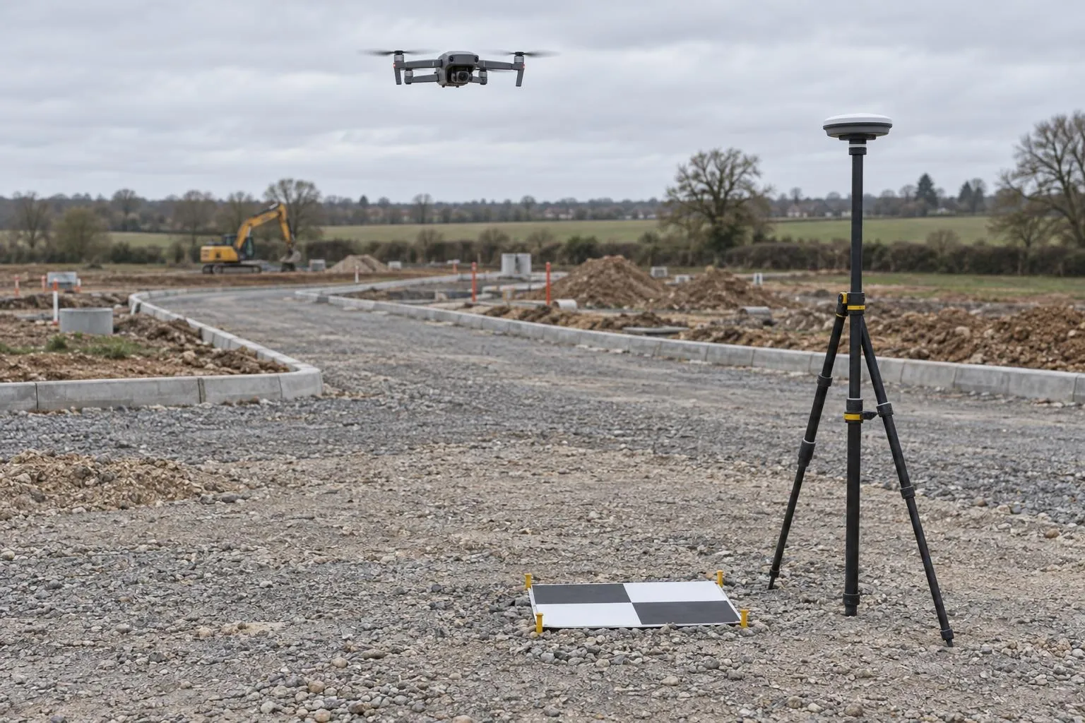
Ground control targets placed on stable ground around the piles and measured with RTK GNSS.
The piles are flown in a grid and an orbit to capture the sides properly. No one goes on them.
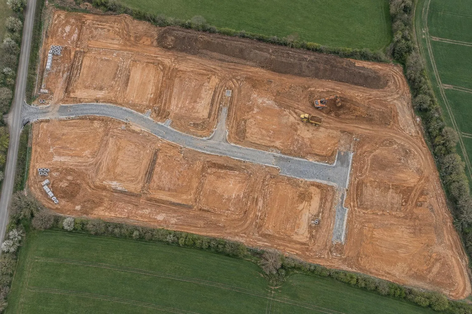
Volumes and tonnages per pile on a marked-up aerial image, usually the next working day.
Piles inside buildings, under roofs or fully sheeted need a laser scan from the ground, which we can also do. Piles that are being worked while we fly change shape mid-survey, so we agree a short window with the site. Very small heaps of a few cubic metres are quicker to measure with the rover. If tonnage matters commercially, a measured bulk density for your material will always beat a typical figure.
See the stockpile survey cost guide for prices.
Sub-base and binder checked against the road design before the next layer goes on.
Before-and-after scans that map the thickness actually laid, across the whole road.
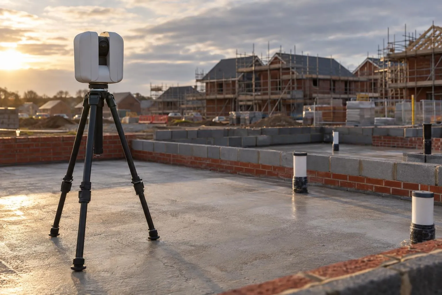
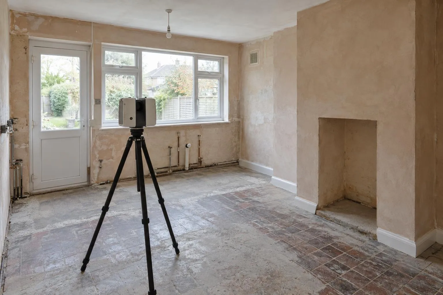
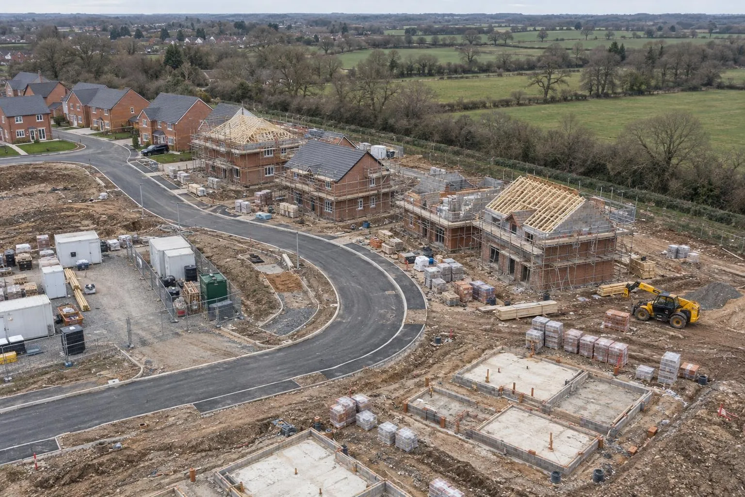
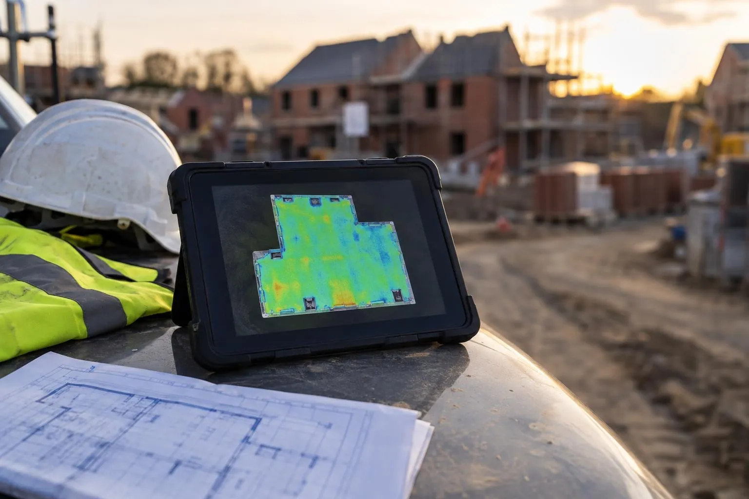
Slab flatness, brickwork to drawing and drain collar positions, checked plot by plot.
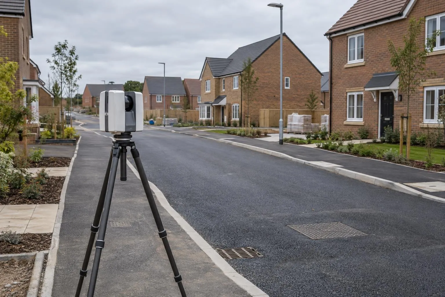
Finished roads, kerbs, drainage covers and plots recorded, with as-built drawings in DWG and PDF.
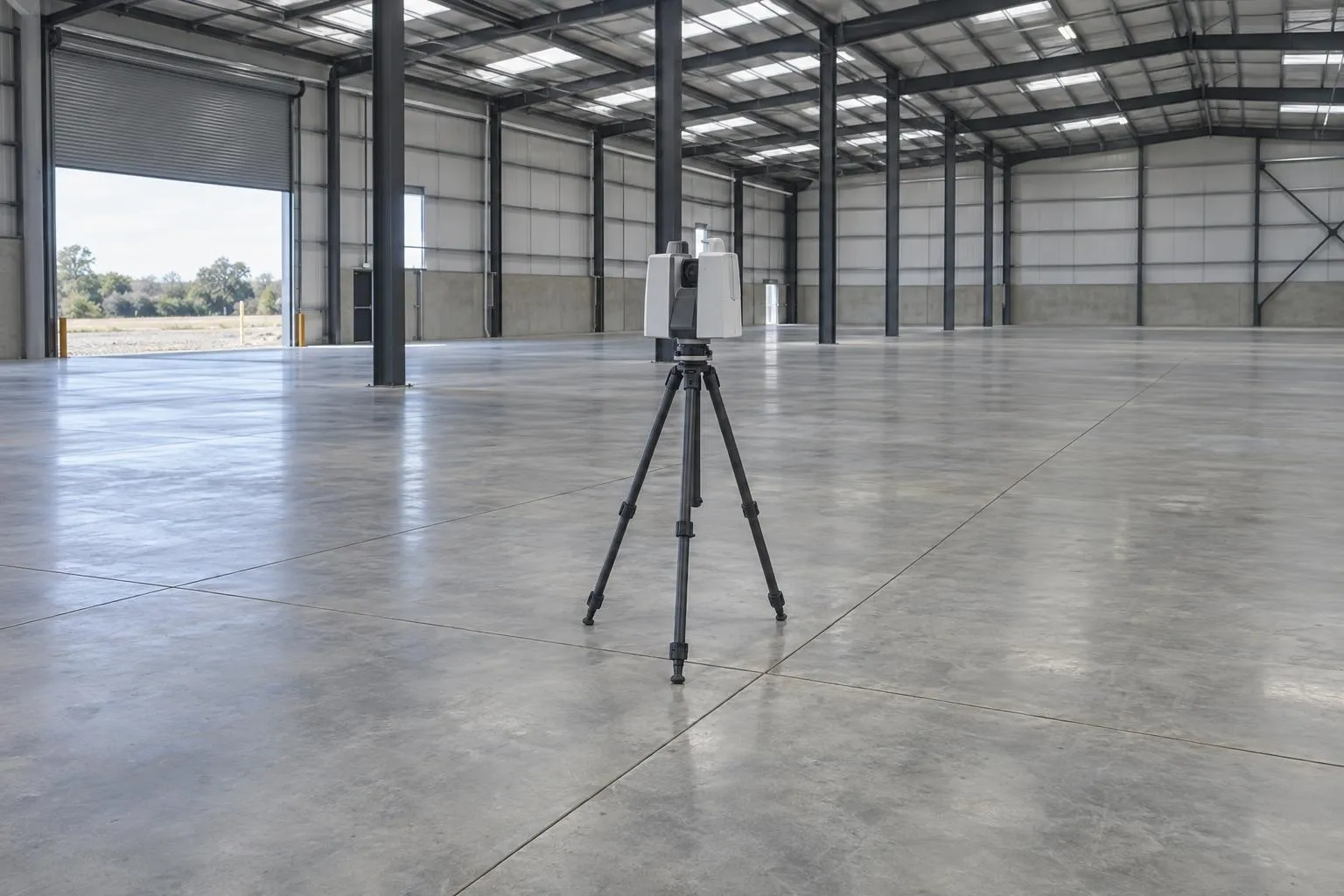
Slabs and screeds scanned edge to edge and checked against SR1-SR3 or your flatness class.
Millimetre-accurate floor plans and elevations for kitchens, extensions and architects.
Levels, contours, boundaries, buildings and trees for planning and design, with the full 3D scan.
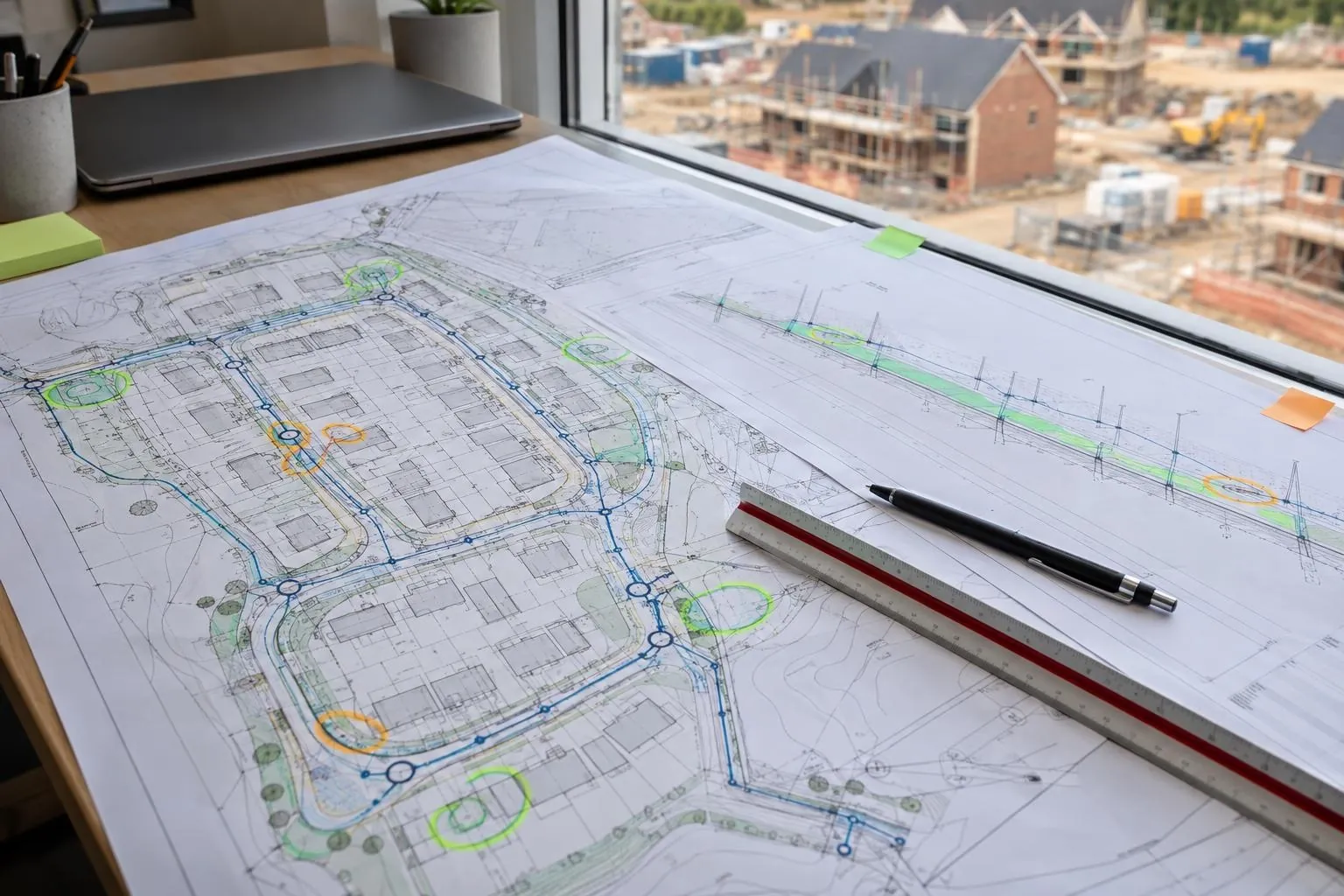
Groundworks and civils drawings reviewed before you dig, on any project: problems found on paper.
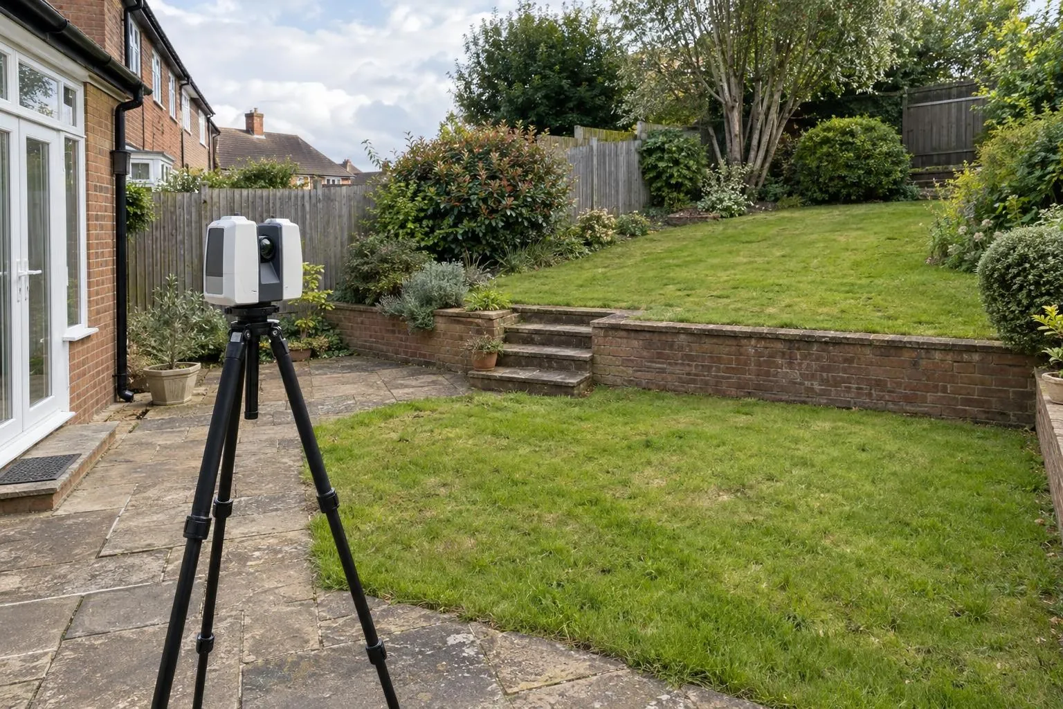
Levels, walls, steps, trees and drains surveyed for garden designers, landscapers and homeowners.
Aerial mapping tied to RTK GNSS control: scaled orthophotos, levels and contours for whole sites.
Cut and fill against design or a previous survey, topsoil strip depths and muck-shift checks.
Monthly drone records of the whole site, compared with last month, for valuations and reports.
Site control on Ordnance Survey grid, and pegs for earthworks, drainage, roads and plots.
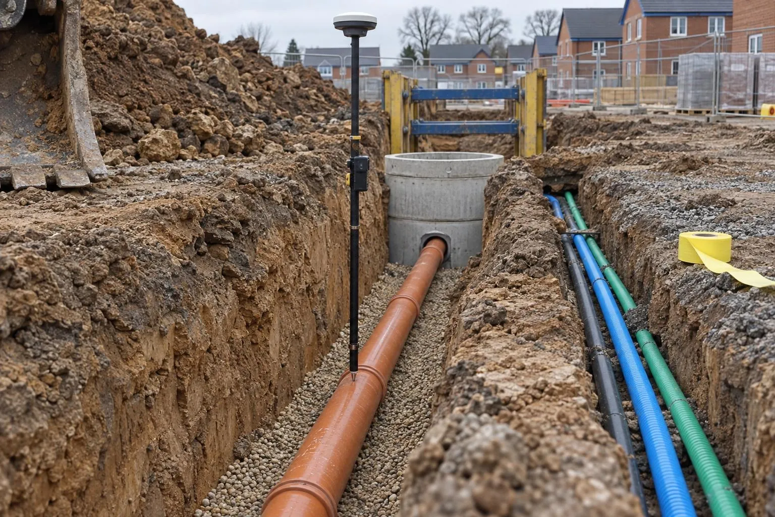
Drainage, chambers and ducts recorded in the open trench, with levels and photos, before backfill.
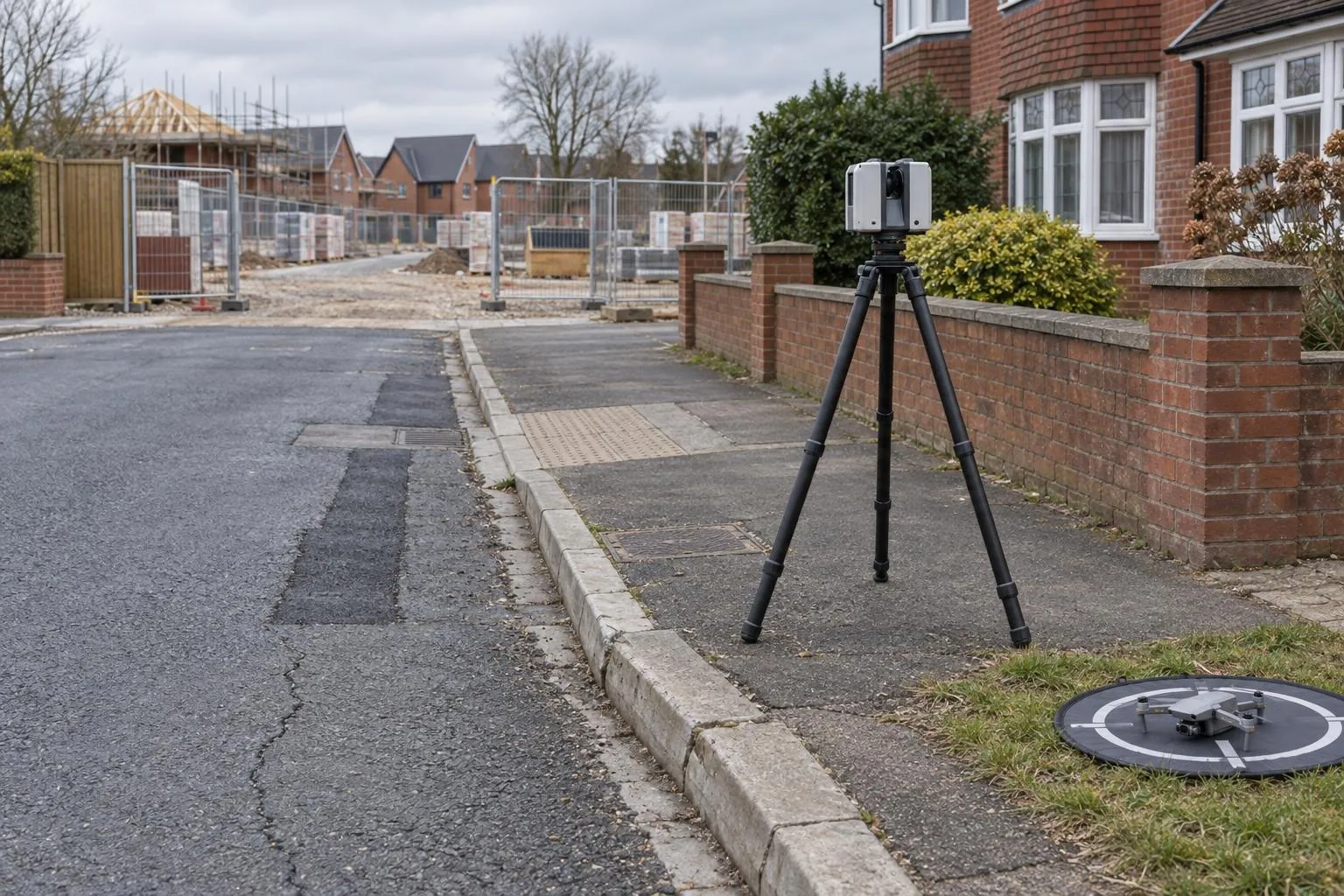
Roads, kerbs, walls and neighbouring buildings recorded by scan, drone and photo before work starts.
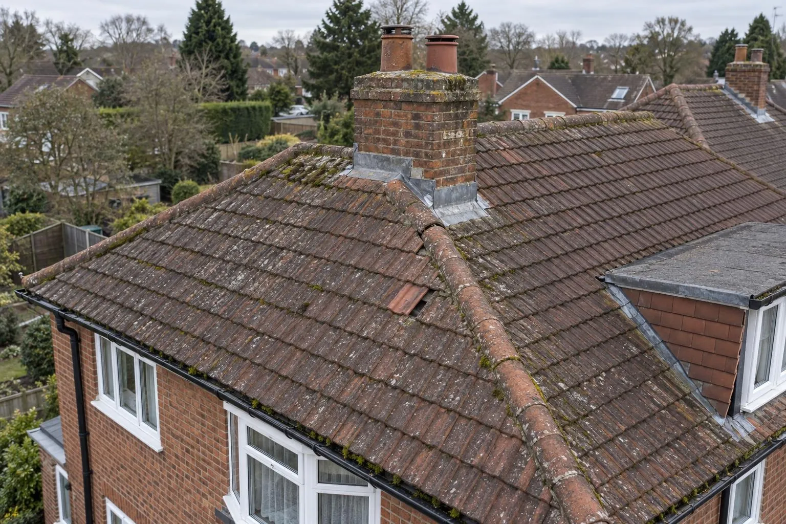
Close-up roof inspections without scaffold, with measured roof areas and pitches if needed.
Already have a scan or your engineer's levels? We process your data and report against design, no visit needed.
We fly the stockpiles with a drone and build a 3D surface of each one from overlapping photos, fixed to ground control measured with RTK GNSS. Each pile is outlined at its toe, a base surface is set under it, and the volume between the base and the top surface is calculated. The result is cubic metres per pile, with a marked-up aerial image so you can see exactly what was measured.
On well-defined piles with a firm, visible toe, a controlled drone survey is typically within about 3% of the true volume. The biggest uncertainty is usually the base, especially on piles tipped into a hollow or on top of older material, so we state how the base was set for each pile. That is far tighter than pacing a pile out or estimating from loads.
Yes. Tonnage is the volume multiplied by the material's bulk density. Give us the density from your supplier, your weighbridge tickets or a test, and we report tonnes alongside cubic metres. If you don't have one, we use a typical figure for the material and say so clearly.
Most sites that measure stock do it monthly or at each valuation, or at the start and end of an operation such as a topsoil strip or a muck shift. Repeat surveys on a regular programme cost less per visit.
No one goes on the piles. The drone does the measuring from above, and the ground control is placed on safe, stable ground around them. Plant can usually keep working, as long as it stays clear of the piles while they're being flown.
Sheeted piles can be measured, but the sheet and any tyres or weights on it are measured too, so the result is less accurate. Piles in open-topped bays work well if the bay walls and floor level are known. Fully covered stores need a laser scan from inside instead.
Send the drawing, the location and when you need it. We reply the same working day with a fixed price.