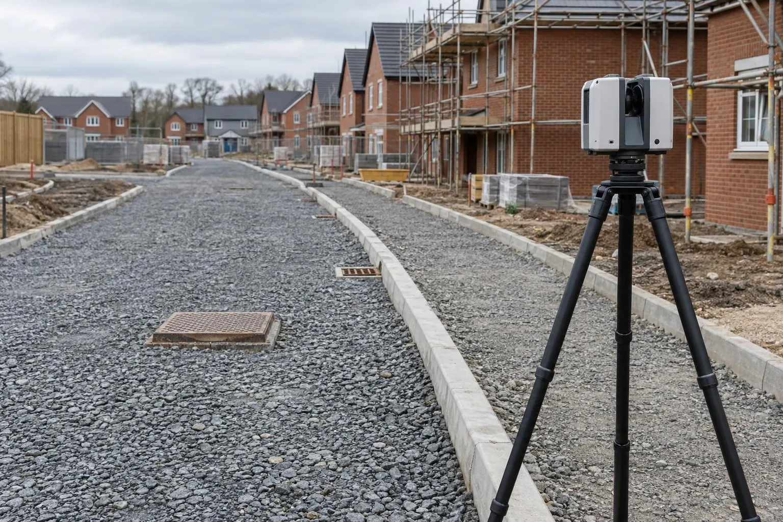
Road & sub-base level surveys
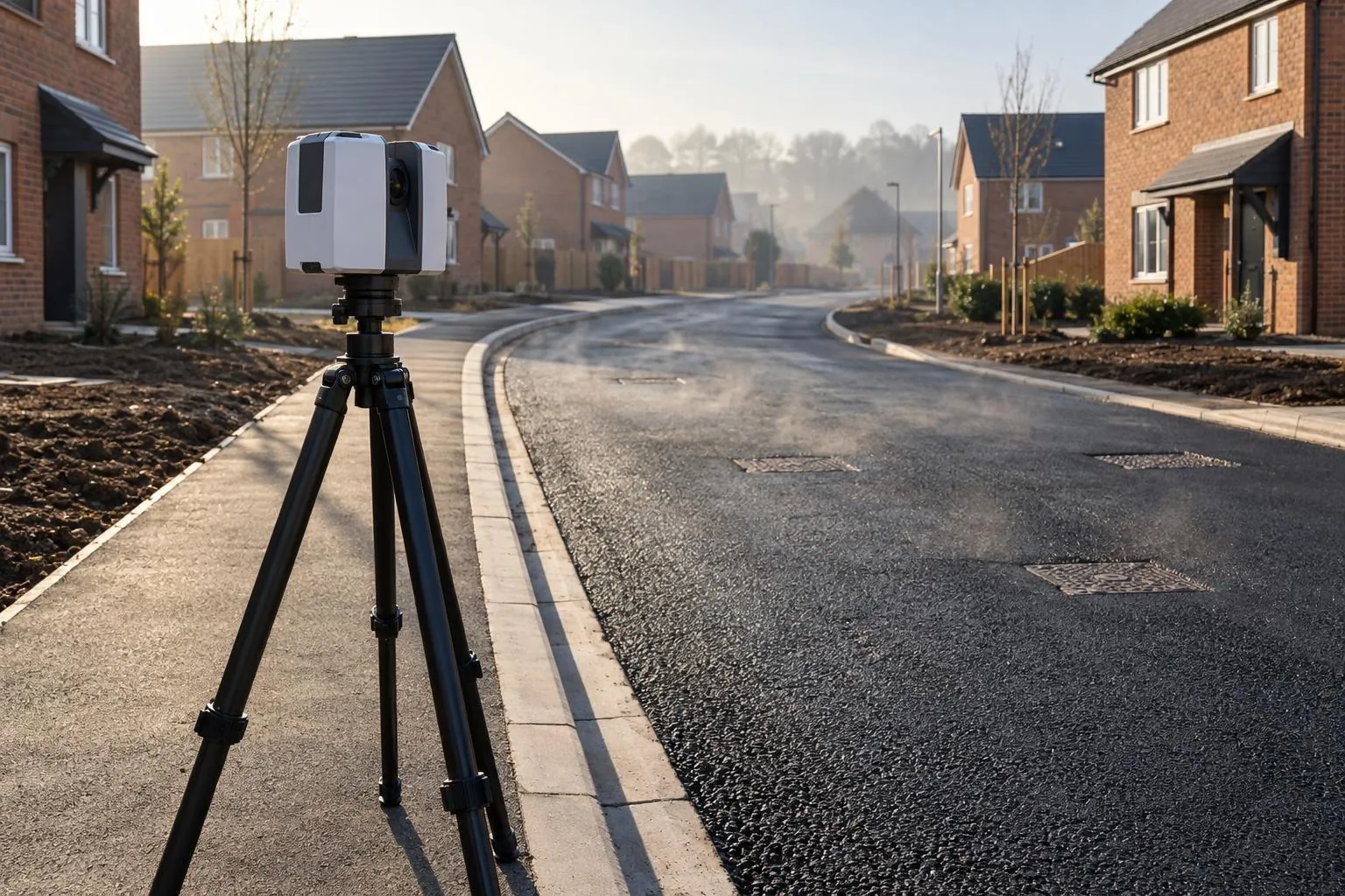
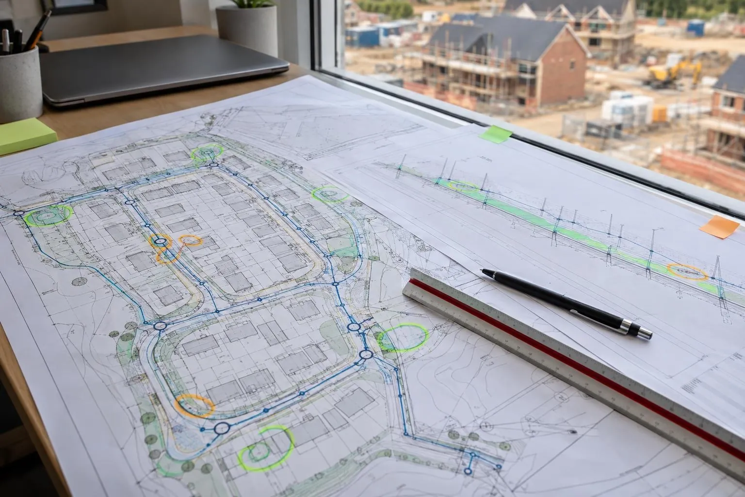
Sub-base and binder checked against the road design before the next layer goes on.
Leicester & Leicestershire
Site QC for south Leicestershire's housing sites, and exact 3D surveys for Leicester's terraces, semis and gardens, from Market Harborough to the edge of the city.
Covering: Market Harborough, Kibworth, Lutterworth, Oadby, Wigston, Blaby and Leicester. Every Dimensure service is available. The whole county is within our standard travel radius, so travel is included.
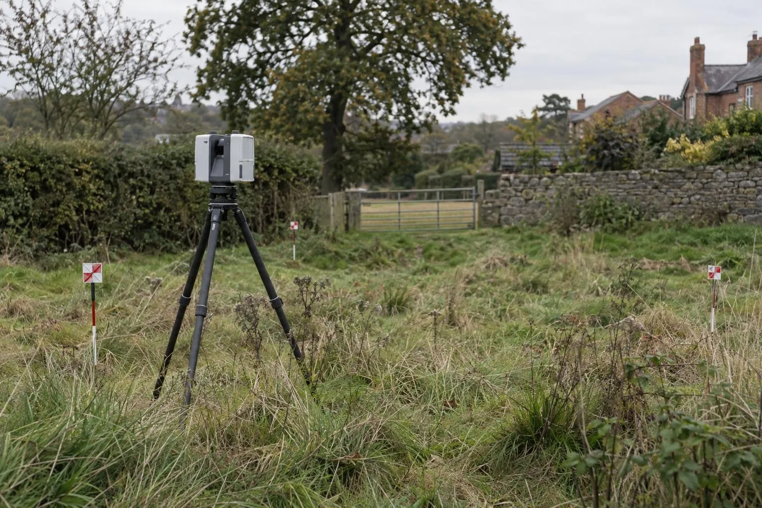
Market Harborough sits a short drive from our base, and the town and its villages have taken a lot of new housing in recent years. Further north, large schemes such as New Lubbesthorpe and Ashton Green on the edge of Leicester bring long road programmes and steady plot completions.
For contractors on those sites we offer the same routine as everywhere else: road layers checked against design before they're covered, tarmac thickness mapped from before-and-after scans, and oversites checked plot by plot.
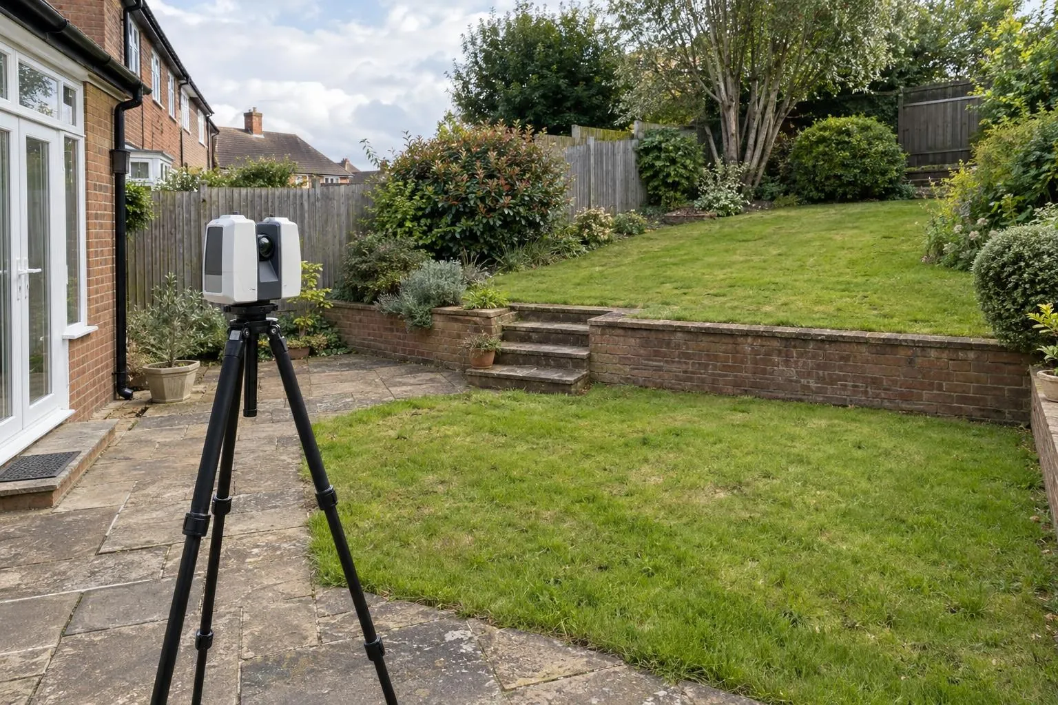
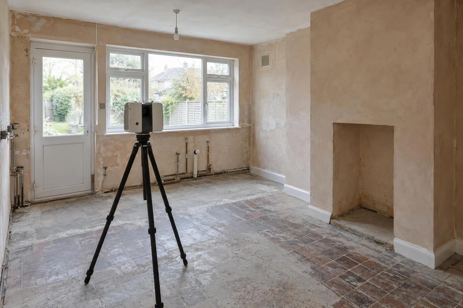
Leicester has a huge stock of Victorian and Edwardian terraces and inter-war semis, the houses most often extended, knocked through and refitted. They are also the houses where hand measurements go wrong. A 3D measured survey records every out-of-square wall and stepped floor, and a garden scan does the same outside.
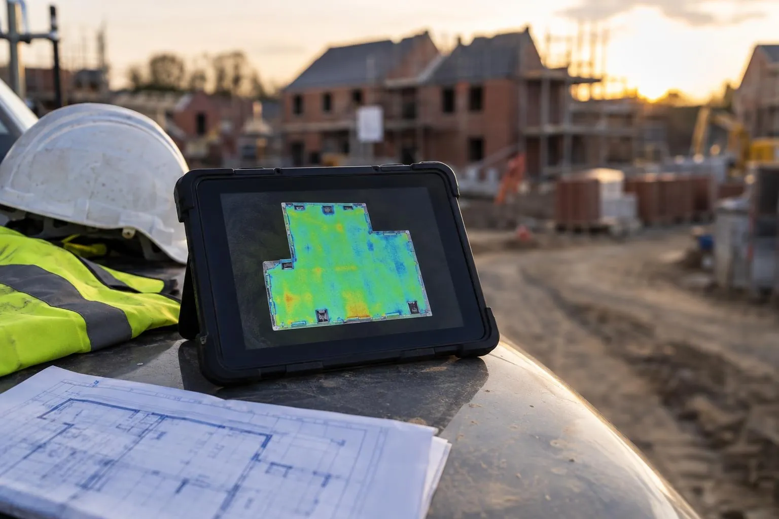
For plots and extensions across Leicestershire, a topographical survey gives the architect accurate levels and boundaries. South Leicestershire's logistics parks need flat, level floors, and a floor flatness survey checks them edge to edge. On housing sites, as-built surveys record finished roads, covers and plots at handover.
All services, with links to how they work and what they cost.
Sub-base and binder checked against the road design before the next layer goes on.
Before-and-after scans that map the thickness actually laid, across the whole road.
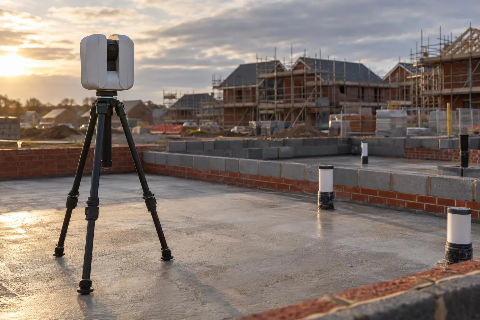
Slab flatness, brickwork to drawing and drain collar positions, checked plot by plot.
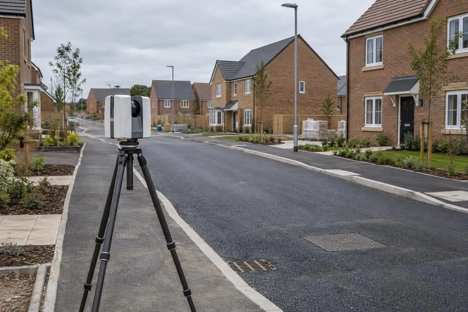
Finished roads, kerbs, drainage covers and plots recorded, with as-built drawings in DWG and PDF.
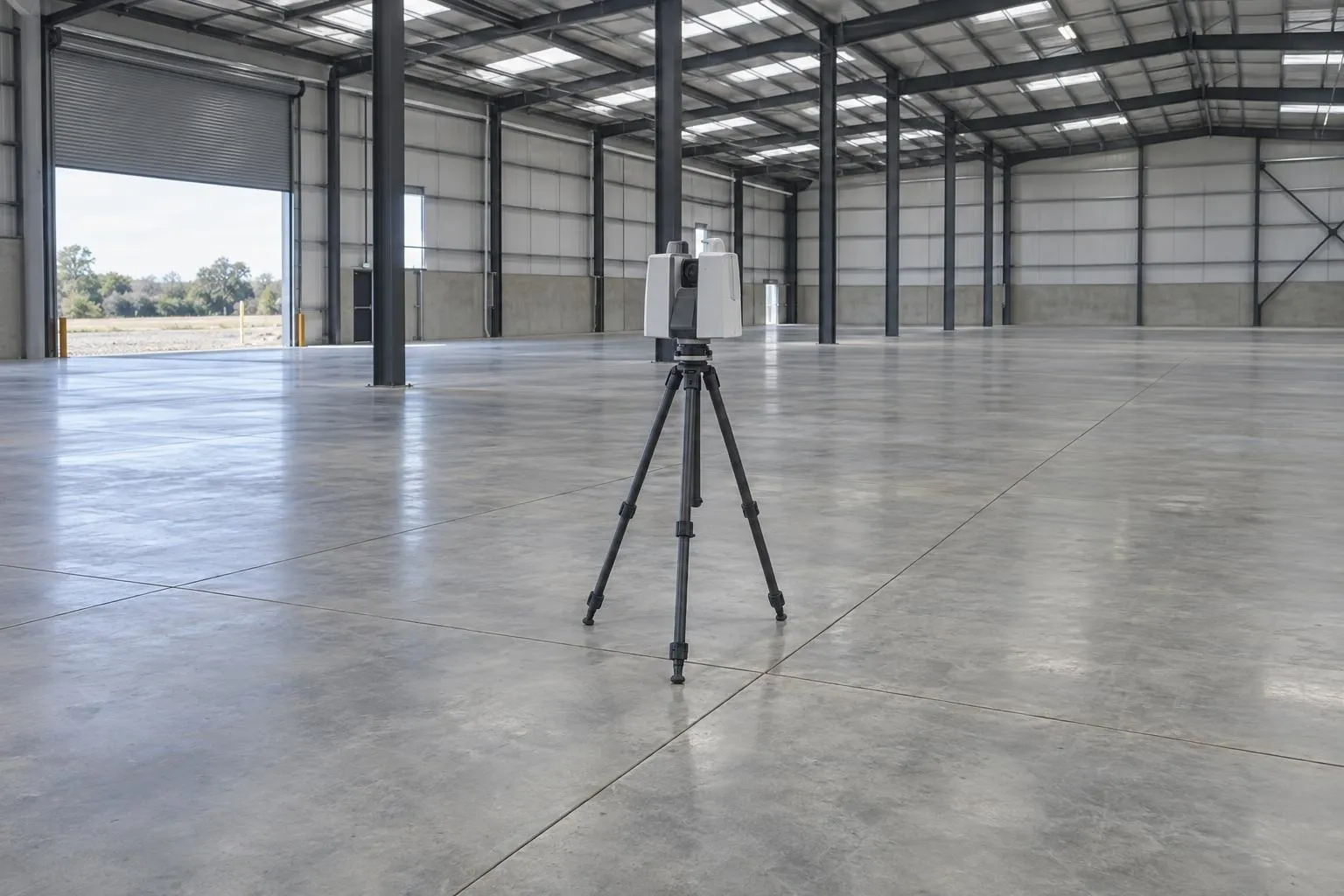
Slabs and screeds scanned edge to edge and checked against SR1-SR3 or your flatness class.
Millimetre-accurate floor plans and elevations for kitchens, extensions and architects.
Levels, contours, boundaries, buildings and trees for planning and design, with the full 3D scan.
Groundworks and civils drawings reviewed before you dig, on any project: problems found on paper.
Levels, walls, steps, trees and drains surveyed for garden designers, landscapers and homeowners.
Already have a scan or your engineer's levels? We process your data and report against design, no visit needed.
No. Leicester and the whole of Leicestershire are inside our standard 50-mile travel radius from Corby, so travel is included.
Yes. Victorian and Edwardian terraces and 1930s semis are where a measured scan helps most, because walls are rarely square and floors often step between rooms.
Yes. We check road layers against your design and report against the tolerances in your adoption agreement.
Send the drawing, the location and when you need it. We reply the same working day with a fixed price.