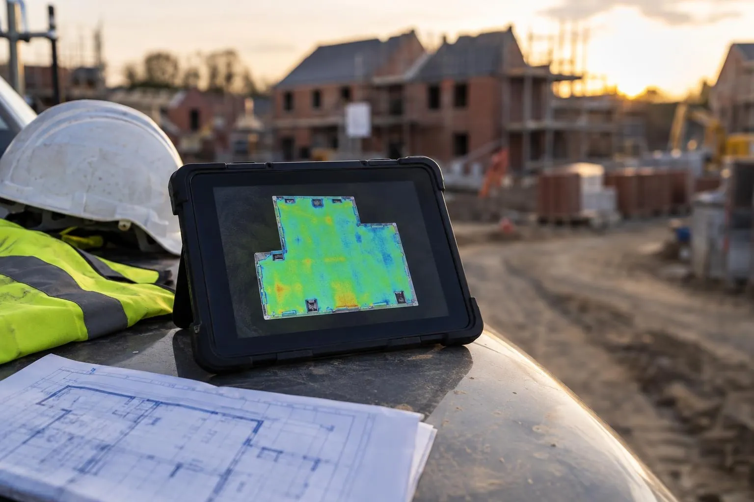
Road & sub-base level surveys
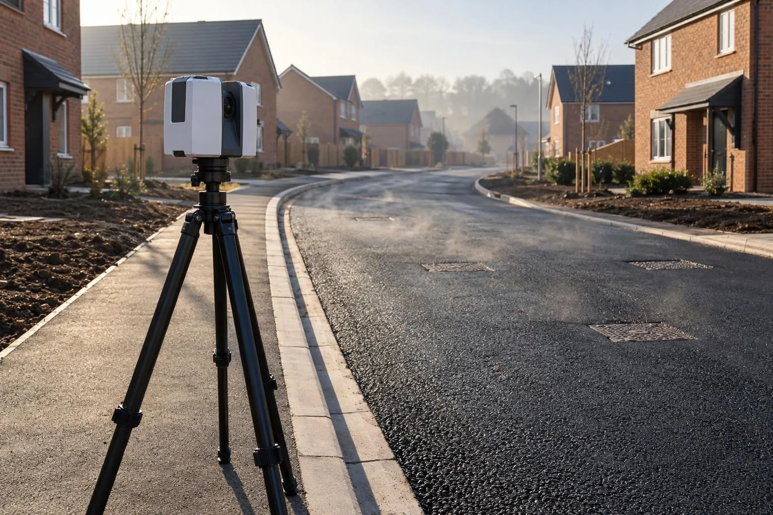
Sub-base and binder checked against the road design before the next layer goes on.
Northampton
Road and sub-base scans, tarmac depth surveys and plot checks for Northampton's housing sites, and millimetre-accurate surveys for the town's homes, kitchens and gardens.
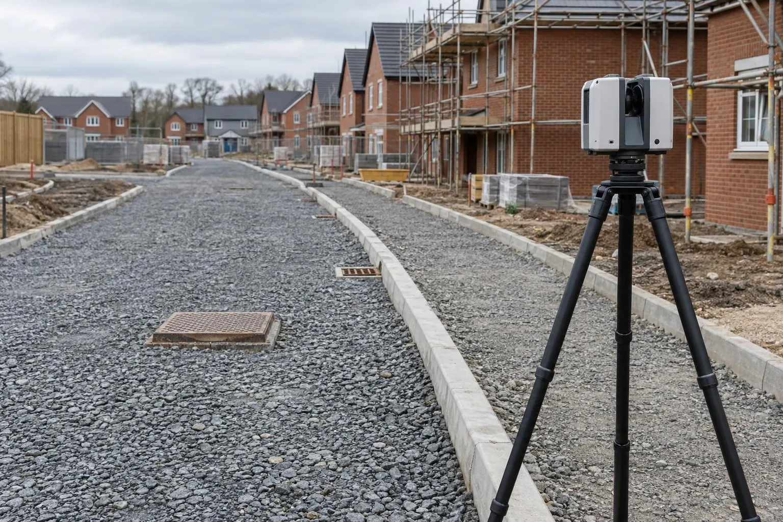
Covering: Northampton and its new neighbourhoods, Daventry, Towcester, Brixworth, Moulton and Earls Barton. Every Dimensure service is available, within our standard travel radius, with next-day QC reports for road and plot checks.
Northampton has been growing outwards for years, with large neighbourhoods such as Upton and Buckton Fields and a string of urban extensions around the town. Each brings kilometres of new estate road and long runs of plots, most built to adoption standards that leave little room for error on the bituminous layers.
A sub-base scan before surfacing is the cheapest point in the job to catch a high or low area. Add a second scan after the binder and you have a full tarmac depth survey for the adoption engineer, with no cores needed to find where the thin spots are.
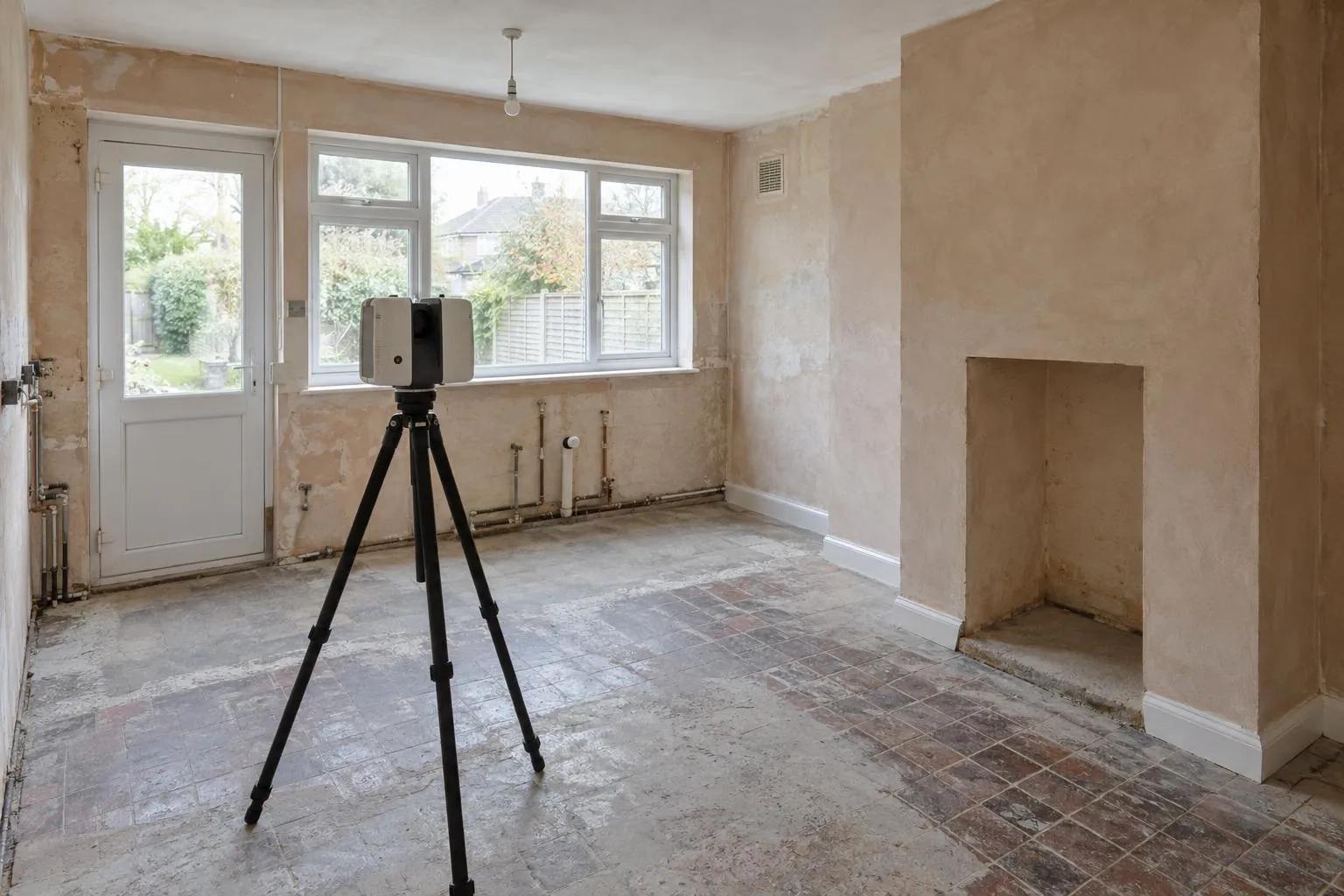
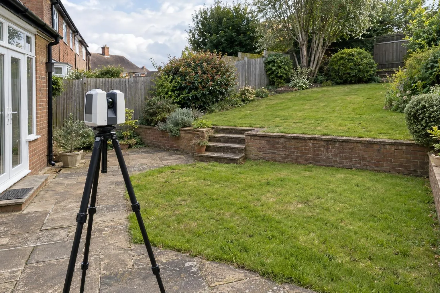
From Victorian terraces in the Boot and Shoe Quarter to 1970s homes in the eastern district, much of Northampton's housing is being extended, opened up or re-kitchened. A 3D measured survey gives your architect or kitchen designer exact existing drawings. For gardens on Northampton's slopes, a garden scan gets the levels right before anyone digs.
Northampton's extensions and infill plots often start with a topographical survey for the architect. Contractors finishing phases on the town's growth sites use as-built surveys to record roads, covers and plots at handover. For the distribution and industrial units around Northampton and Daventry, a floor flatness survey checks slabs against their specified class before fit-out.
Full details and prices for each service.
Sub-base and binder checked against the road design before the next layer goes on.
Before-and-after scans that map the thickness actually laid, across the whole road.
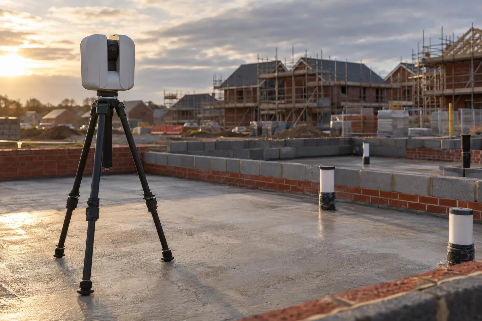
Slab flatness, brickwork to drawing and drain collar positions, checked plot by plot.
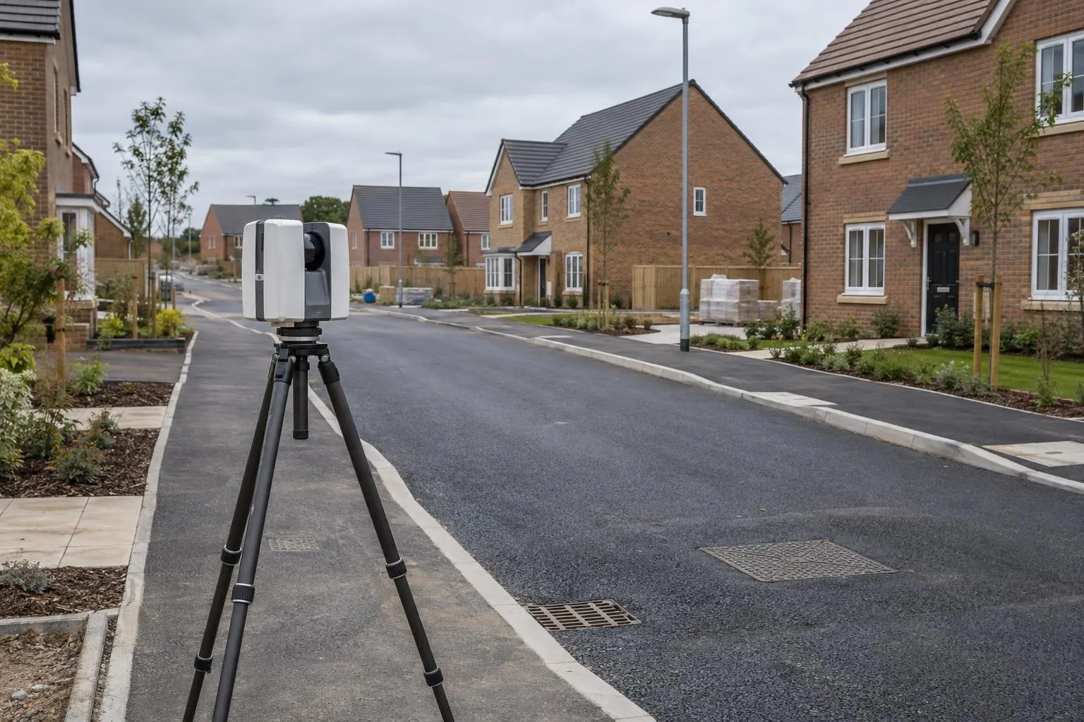
Finished roads, kerbs, drainage covers and plots recorded, with as-built drawings in DWG and PDF.
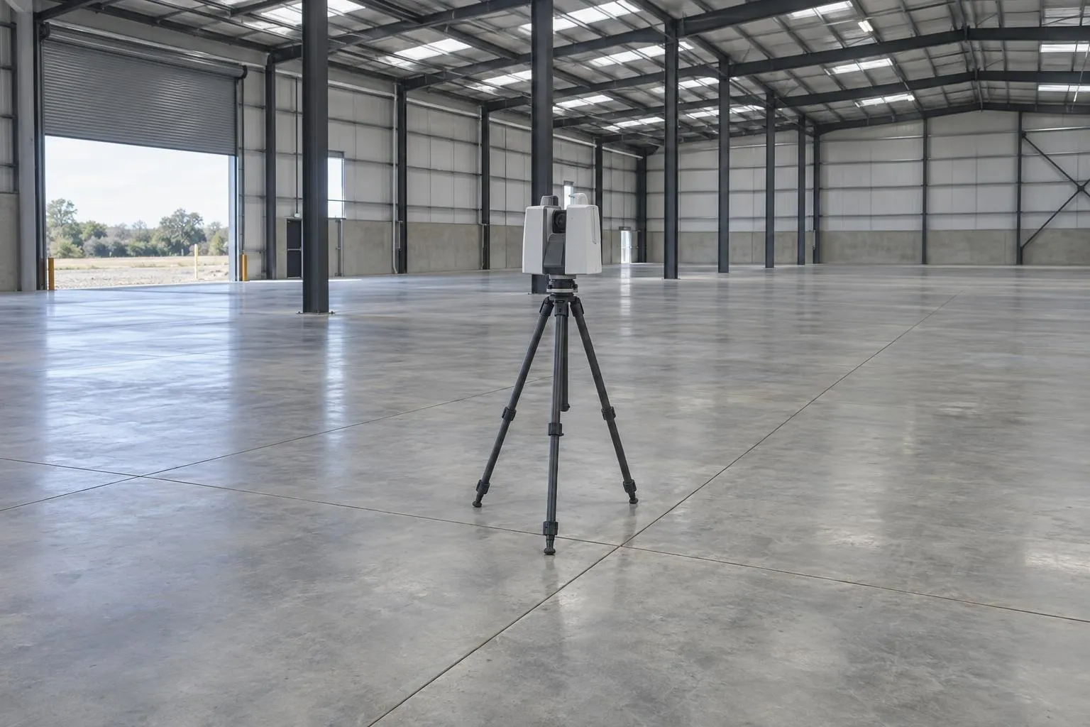
Slabs and screeds scanned edge to edge and checked against SR1-SR3 or your flatness class.
Millimetre-accurate floor plans and elevations for kitchens, extensions and architects.
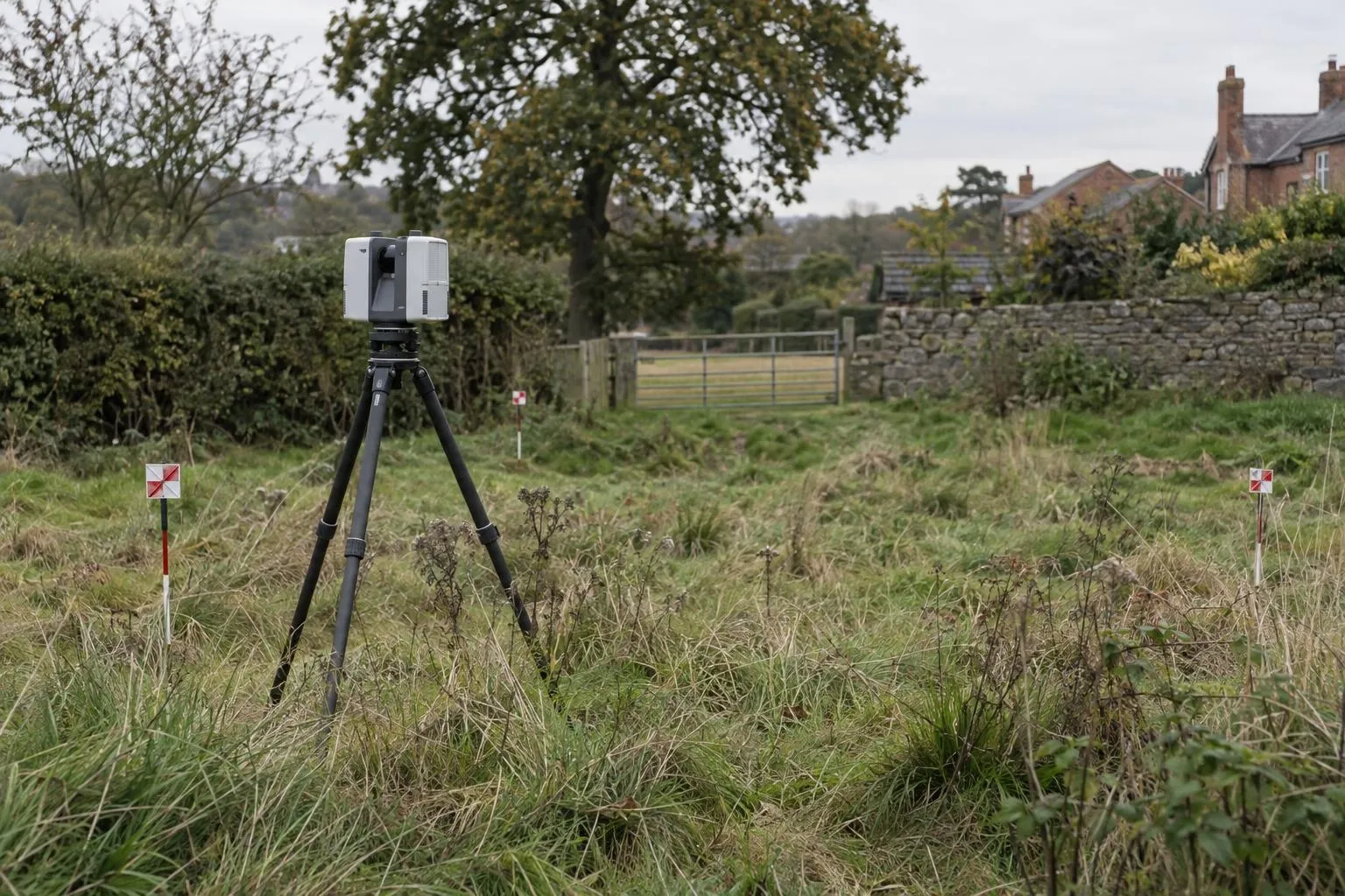
Levels, contours, boundaries, buildings and trees for planning and design, with the full 3D scan.
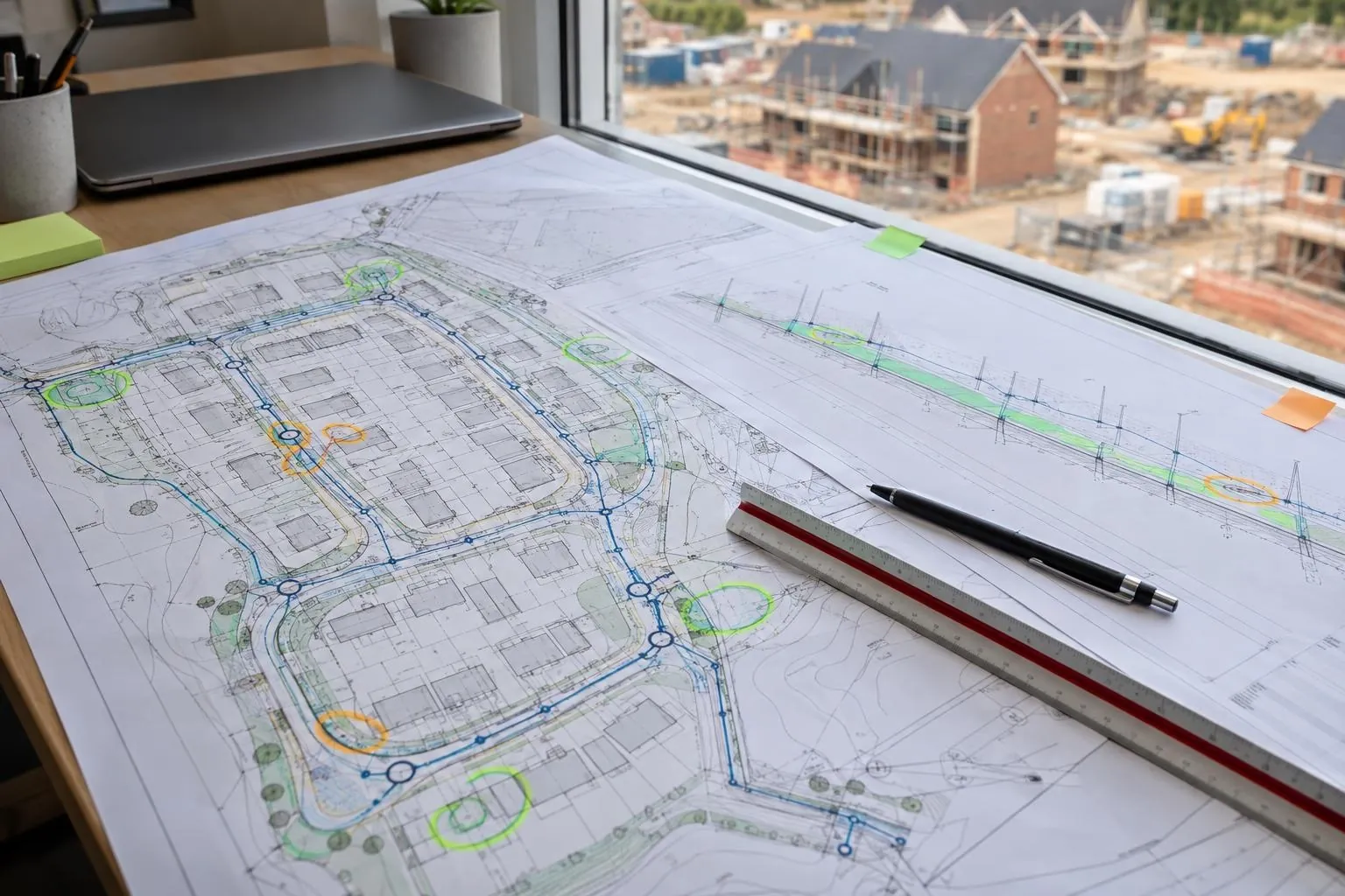
Groundworks and civils drawings reviewed before you dig, on any project: problems found on paper.
Levels, walls, steps, trees and drains surveyed for garden designers, landscapers and homeowners.
Already have a scan or your engineer's levels? We process your data and report against design, no visit needed.
Yes, the whole town and its edges, including Upton, Duston, Moulton, Grange Park and the new neighbourhoods around the ring, plus Daventry, Towcester, Brixworth and Earls Barton.
No. Northampton is within our standard 50-mile travel radius from Corby.
Yes. We check sub-base and bituminous layers against your design and report against the tolerances in your section 38 agreement with West or North Northamptonshire Council, whichever applies to the site.
Send the drawing, the location and when you need it. We reply the same working day with a fixed price.