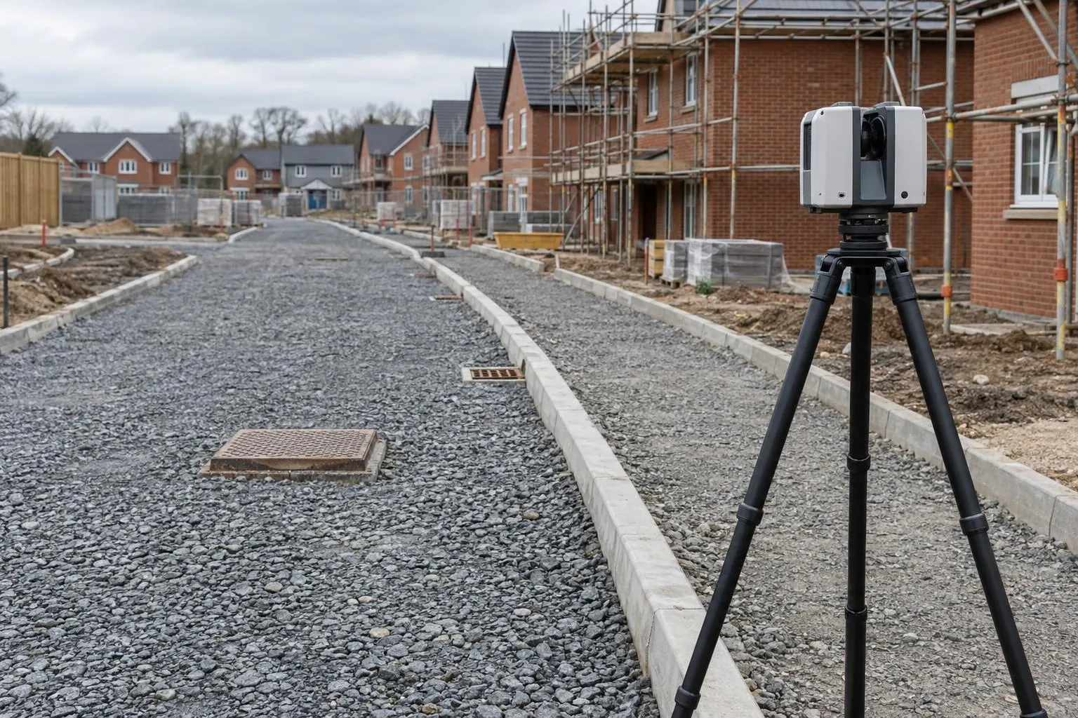
Road & sub-base level surveys
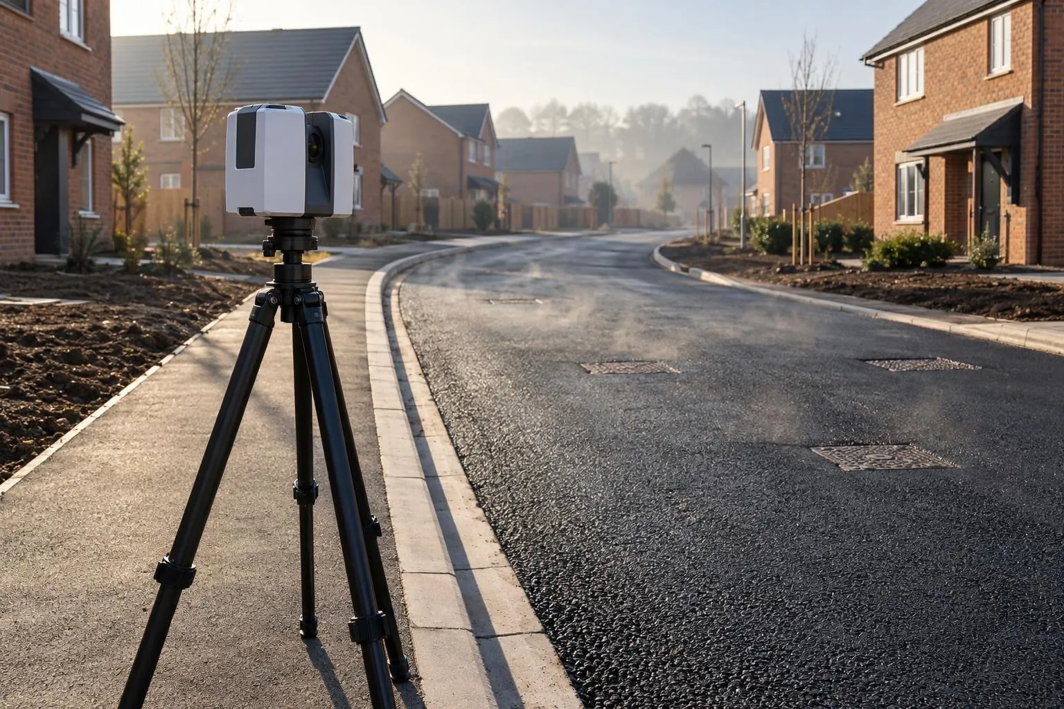
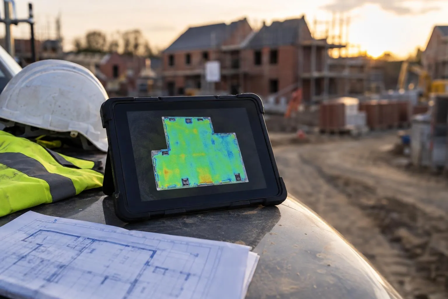
Sub-base and binder checked against the road design before the next layer goes on.
As-built surveys
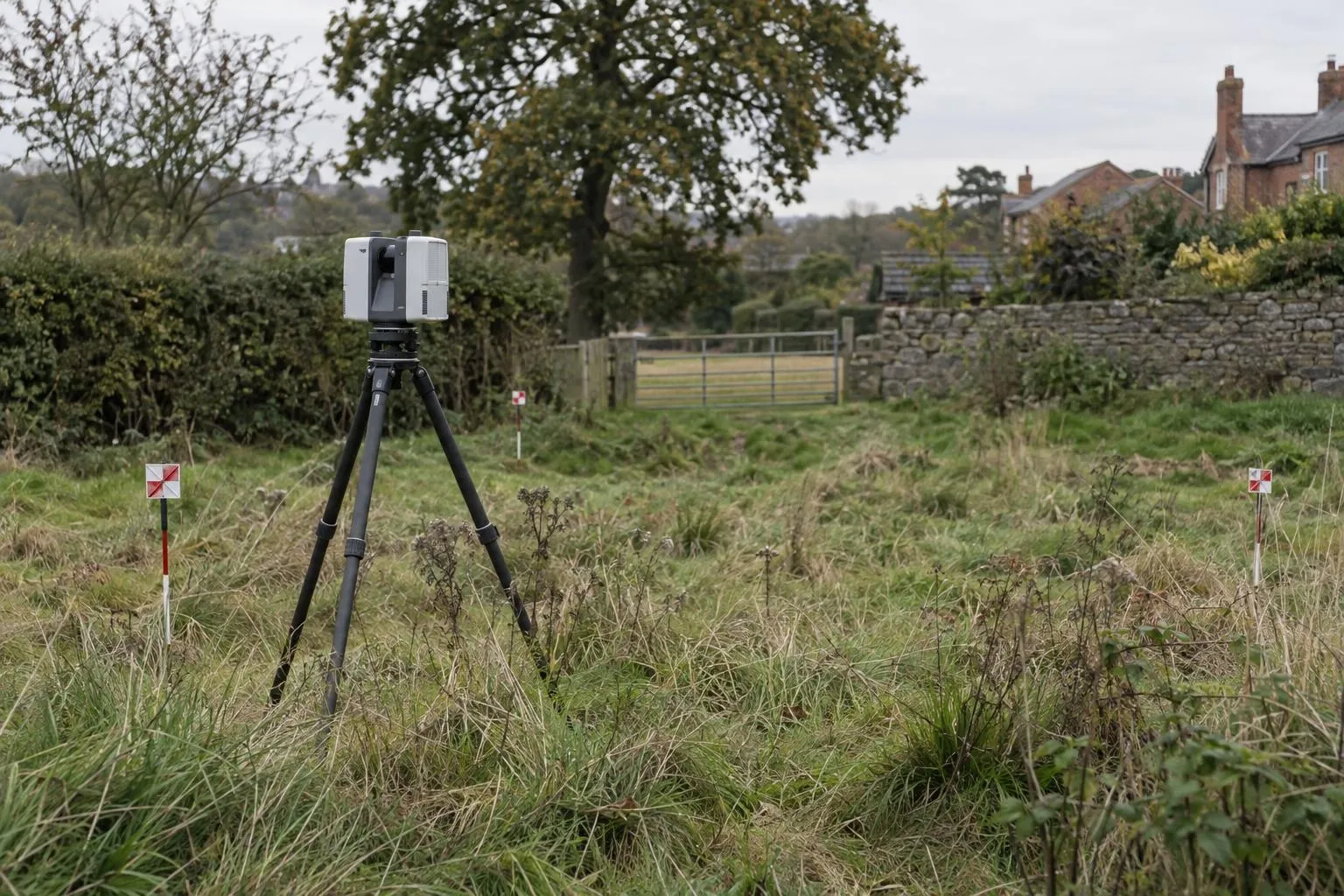
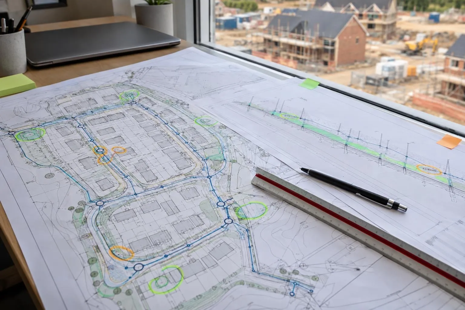
Record what was actually built. We scan the finished roads, footpaths, drainage covers, plots and external works and give you as-built drawings in DWG and PDF, with a 3D record of the whole phase behind them.
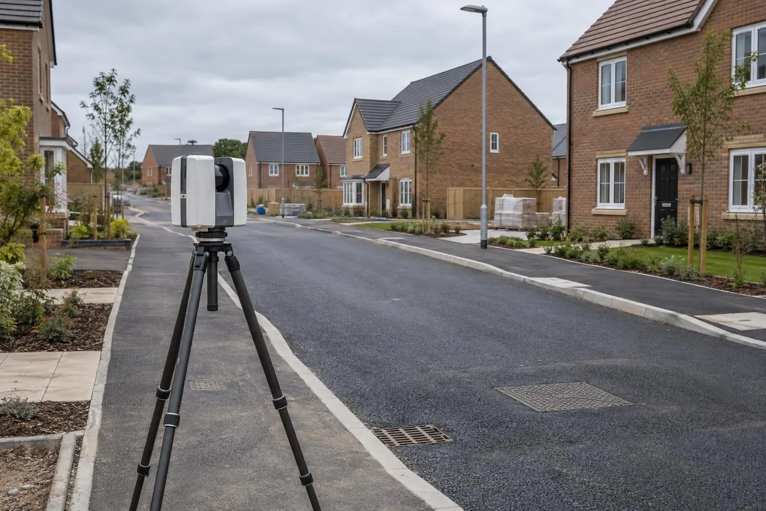
In short: an as-built survey measures finished works so the record drawings match what's in the ground. We do it by laser scan, so every kerb, cover and level across the phase is captured once, drawn up in DWG and PDF, and kept as a point cloud for any question that comes up later.
A points-only as-built shows what the surveyor chose to pick up. When an adopting engineer, a client or a dispute asks about something else, someone goes back to site, and by then it may be covered or changed. A scan captures the whole phase on the day, so the as-built drawing is backed by a dated 3D record you can measure from for years.
At handover of each phase, before landscaping or surfacing covers the work, when a road is offered for adoption, and whenever the drawings and the site are known to have drifted apart during the build.
Our road level surveys, tarmac depth surveys and plot surveys check each layer against design while it can still be fixed. The as-built survey records the finished result for handover.
Ask about an as-built surveyThe site layout, drainage and engineering drawings, and the area or phase to record.
Price, date and drawing format agreed, including any CAD standard your engineer works to.
We scan the phase tied to your site control, around live traffic and trades.
DWG and PDF, checked by our team, with the registered point cloud.
We record and draw what is built. We don't certify works for adoption, Building Regulations or warranty, and we don't survey buried pipes between chambers; a CCTV drainage survey does that. Our drawings and point cloud give your engineer and the approving bodies an accurate record to work from.
Already scanned the phase yourselves? Send us the point cloud and we'll draw the as-built from it. See reporting from your survey data.
See the as-built survey cost guide for prices.
Sub-base and binder checked against the road design before the next layer goes on.
Before-and-after scans that map the thickness actually laid, across the whole road.
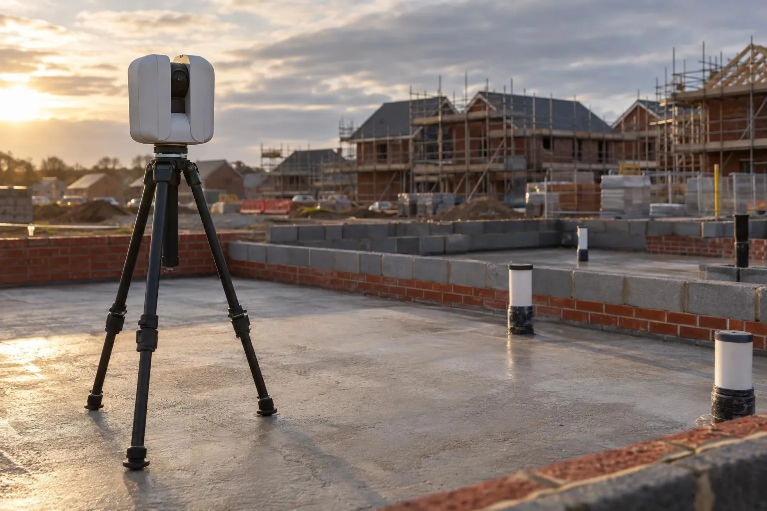
Slab flatness, brickwork to drawing and drain collar positions, checked plot by plot.
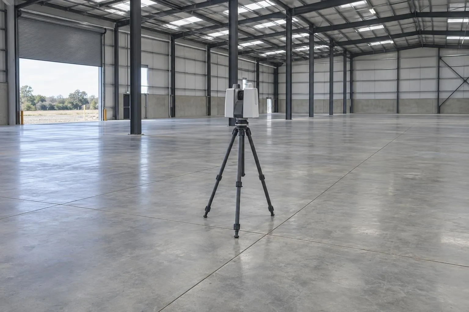
Slabs and screeds scanned edge to edge and checked against SR1-SR3 or your flatness class.
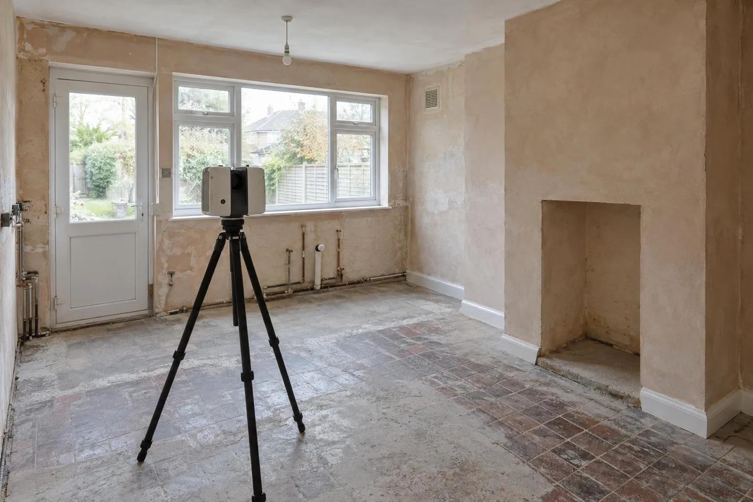
Millimetre-accurate floor plans and elevations for kitchens, extensions and architects.
Levels, contours, boundaries, buildings and trees for planning and design, with the full 3D scan.
Groundworks and civils drawings reviewed before you dig, on any project: problems found on paper.
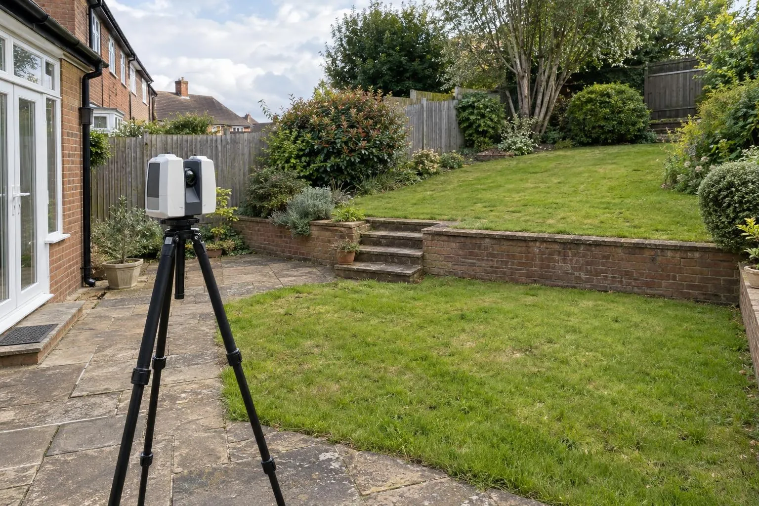
Levels, walls, steps, trees and drains surveyed for garden designers, landscapers and homeowners.
Already have a scan or your engineer's levels? We process your data and report against design, no visit needed.
A survey of what has actually been built, as opposed to what was designed. It records the finished positions and levels of roads, kerbs, footpaths, drainage covers, thresholds and other works, so the as-built drawings show reality rather than the design with a few amendments.
Groundworks and civils contractors handing over a phase, developers preparing adoption or handover packages, main contractors closing out external works, and clients who want a record of what's in the ground and where. It's also the starting point when a dispute arises about whether work was built to drawing.
We survey and draw the as-built layout, levels and cover positions in DWG and PDF for your engineer to use in the adoption or Section 104 submission. The submission itself, and any sign-off, stays with your engineer and the adopting authority, whose drawing standards they will check our output against.
The scan records cover levels and positions directly. Invert levels need the chamber opened: we can record them on the same visit by dipping or scanning into open chambers, if they're made safe and opened for us. Tell us at booking.
They use the same scanner but answer a different question. Our road and plot surveys compare a layer with the design and report pass or fail before the next trade. An as-built survey records the finished works and produces as-built drawings for handover and record.
Typically within five working days of the survey for a phase of road and drainage. Larger sites are programmed with you.
Send the drawing, the location and when you need it. We reply the same working day with a fixed price.