Cost guide
Topographical survey cost
What a topographical survey costs, what decides the price, and what you get for it, from a single building plot to a small development site.
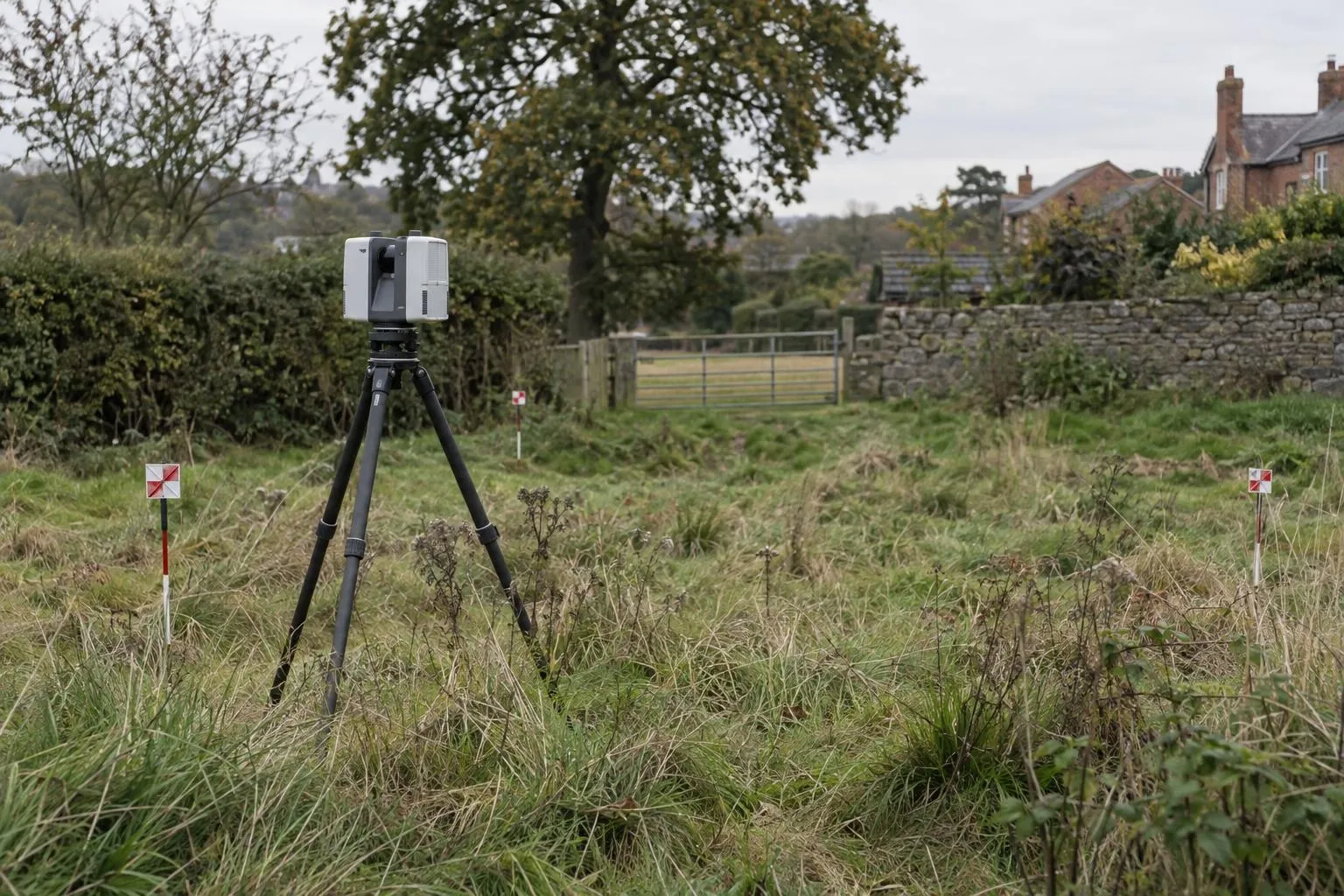
Guide price: a topographical survey costs from £595 for a plot up to about a quarter of an acre (1,000 m²) and from £995 for a site up to about an acre (4,000 m²). Every survey includes a scaled plan in PDF and DWG and the registered point cloud. Before VAT, with travel included within 50 miles of Corby.
| Site | Guide price | Typical job |
|---|---|---|
| Domestic garden for a landscape design | from £395 | See garden survey cost |
| Plot up to ~1,000 m² (¼ acre) | from £595 | Infill plot, extension site, single new home |
| Site up to ~4,000 m² (1 acre) | from £995 | Small development, paddock, commercial yard |
| Larger sites | quoted | Priced from the site plan and brief |
| Neighbouring building elevations | quoted | Drawn from the scan where visible from the site |
Guide prices before VAT for accessible sites. Heavily overgrown sites may need clearing or extra set-ups. Ordnance Survey grid and datum on request; we confirm what it adds when we quote.
What drives the price
How much the scanner has to see around
An open, mown field can be captured from a handful of scanner positions. A plot with outbuildings, walls, hedges and dense undergrowth needs many more, because the ground behind each obstacle has to be seen to be measured.
The level of detail drawn
Levels, contours, boundaries and features are standard. Full elevations of buildings, detailed tree information or very close contour intervals take more drawing time.
Datum and coordinates
A local site grid suits most extension and single-plot work. Surveys tied to Ordnance Survey National Grid and Ordnance Datum take extra time on site and are priced when we quote.
How our prices compare
Published UK cost guides in 2026 commonly put a topographical survey of a small residential plot at around £500–£1,200 and up to an acre at around £900–£2,000 (for example, BestBuilders' land survey cost guide, checked October 2026). Our prices sit at the lower end of those ranges and include the full point cloud, which many surveyors charge for separately.
Included on every topo survey
- Scaled plan in PDF and DWG
- Spot levels and contours
- Boundaries, buildings and trees
- Drainage covers with cover levels
- Registered point cloud
- Plan in 3–5 working days
How it works: topographical surveys. All services: price guide.
Topographical surveys across the area
Questions we get asked
How much does a topographical survey cost?
With Dimensure, a topographical survey of a plot up to about a quarter of an acre (1,000 m²) costs from £595, and a site up to about an acre (4,000 m²) from £995, including the drawn plan in PDF and DWG and the point cloud. Larger and more complex sites are priced individually. Prices are before VAT.
What is the typical UK price for a topographical survey?
Published UK guides in 2026 commonly put a small residential plot at around £500 to £1,200, and plots up to an acre at around £900 to £2,000, with development sites priced per hectare. Access, vegetation, the level of detail and the datum required move the price within those ranges.
Why is a laser scan topo survey not more expensive?
Because the scanner captures the site quickly and completely, so time on site is short and nothing has to be revisited. The office time goes into drawing the plan, and the point cloud is included rather than charged as an extra.
What makes a topographical survey cost more?
Dense vegetation and overgrown ground, lots of buildings and walls to see around, a requirement for Ordnance Survey grid and datum, extra detail such as full building elevations, and tight deadlines. Size matters less than how much the scanner has to see around.
Book a scan or ask a question
Send the drawing, the location and when you need it. We reply the same working day with a fixed price.