Road & sub-base scanning
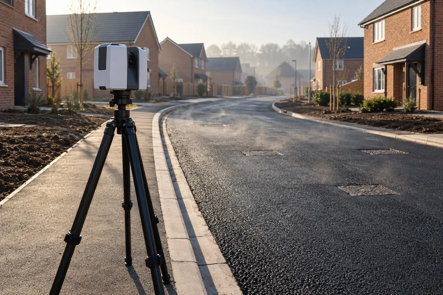
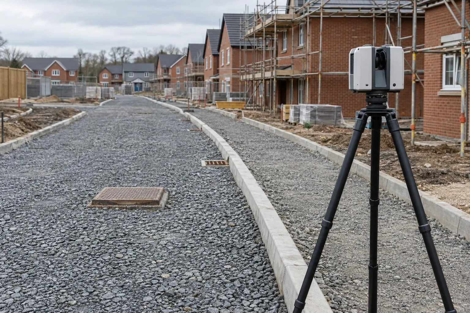
Sub-base and binder checked against the road design before the next layer goes on.
About Dimensure
Dimensure exists because checking groundworks properly shouldn't need a survey firm, a week's wait and a report nobody on site can read.
Dimensure was set up by a groundworks project manager with 12 years on UK housing sites, working up from the tools to running large civils packages of roads, sewers and hundreds of plots. Over those years the same problems kept coming back: a sub-base that was a few millimetres high in the wrong place, a drain collar that moved between the drawing and the slab, an oversite that was right on the day and disputed months later.
The tools to catch those problems already existed. Survey-grade laser scanners can measure a whole road or slab in minutes. What was missing was someone who knew what a groundworker actually needs to check, and would turn the scan into a plain answer by the next morning.
Our founder holds an NVQ Level 6 in Construction Contracting Operations Management, the CITB Site Management Safety Training Scheme (SMSTS) certificate, a CSCS Black (Manager) card, NPORS plant tickets and a street works (NRSWA) qualification. We work under site inductions, permits and RAMS as a matter of course, because that's how we've always worked.
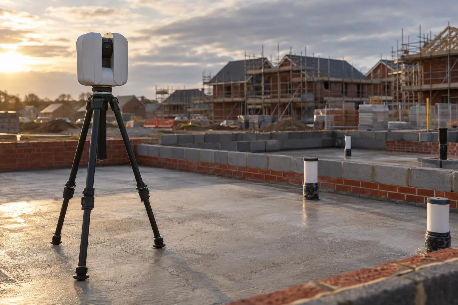
We scan with a Trimble X9, a survey-grade terrestrial laser scanner with automatic self-levelling and calibration, a Class 1 eye-safe laser and built-in calibrated cameras for colour. The manufacturer specifies 2 mm range accuracy and 2.3 mm 3D point accuracy at 10 m. More on accuracy and what it means.
Sub-base and binder checked against the road design before the next layer goes on.
Before-and-after scans that map the thickness actually laid, across the whole road.
Slab flatness, brickwork to drawing and drain collar positions, checked plot by plot.
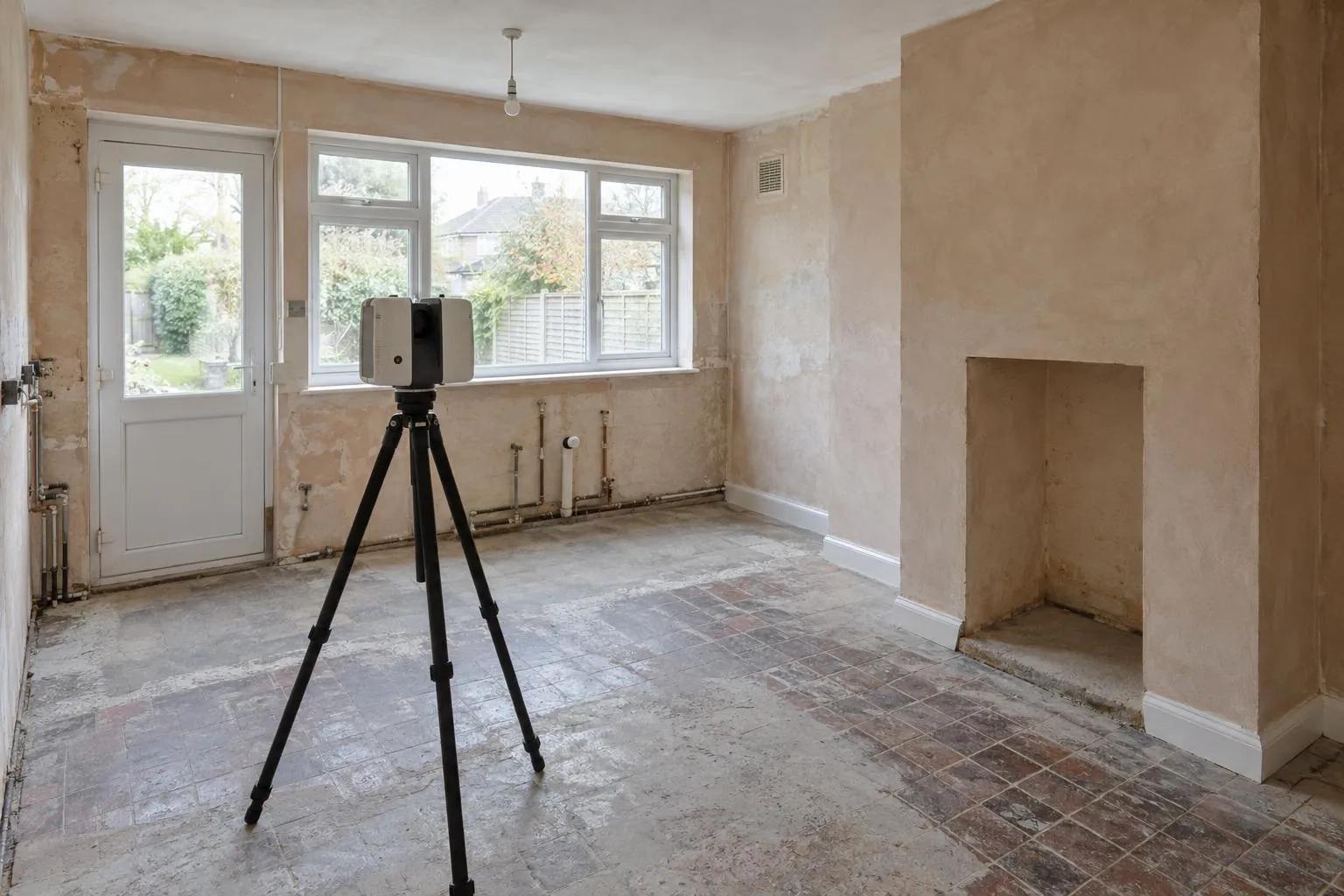
Millimetre-accurate scans of rooms and buildings for kitchens, extensions and interiors.
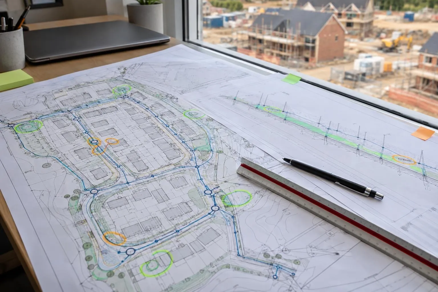
Groundworks and civils drawings reviewed before you dig, on any project: problems found on paper.
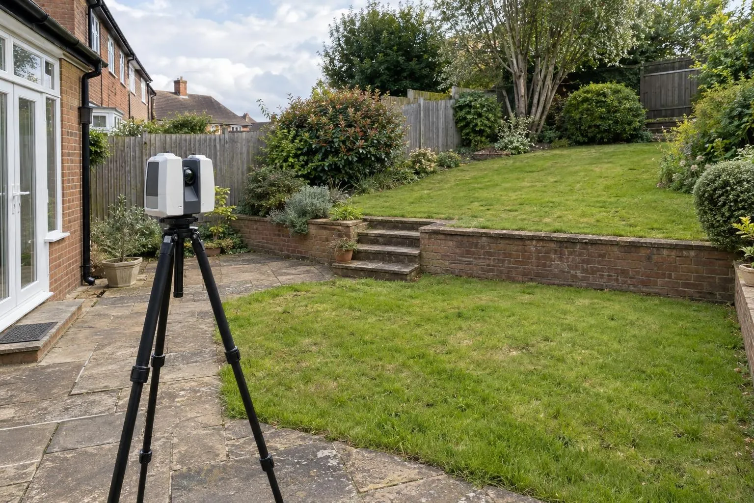
Every level, wall, tree and step captured for landscape designers and builders.
Already have a scan or your engineer's levels? We process your data and report against design, no visit needed.
Send the drawing, the location and when you need it. We reply the same working day with a fixed price.