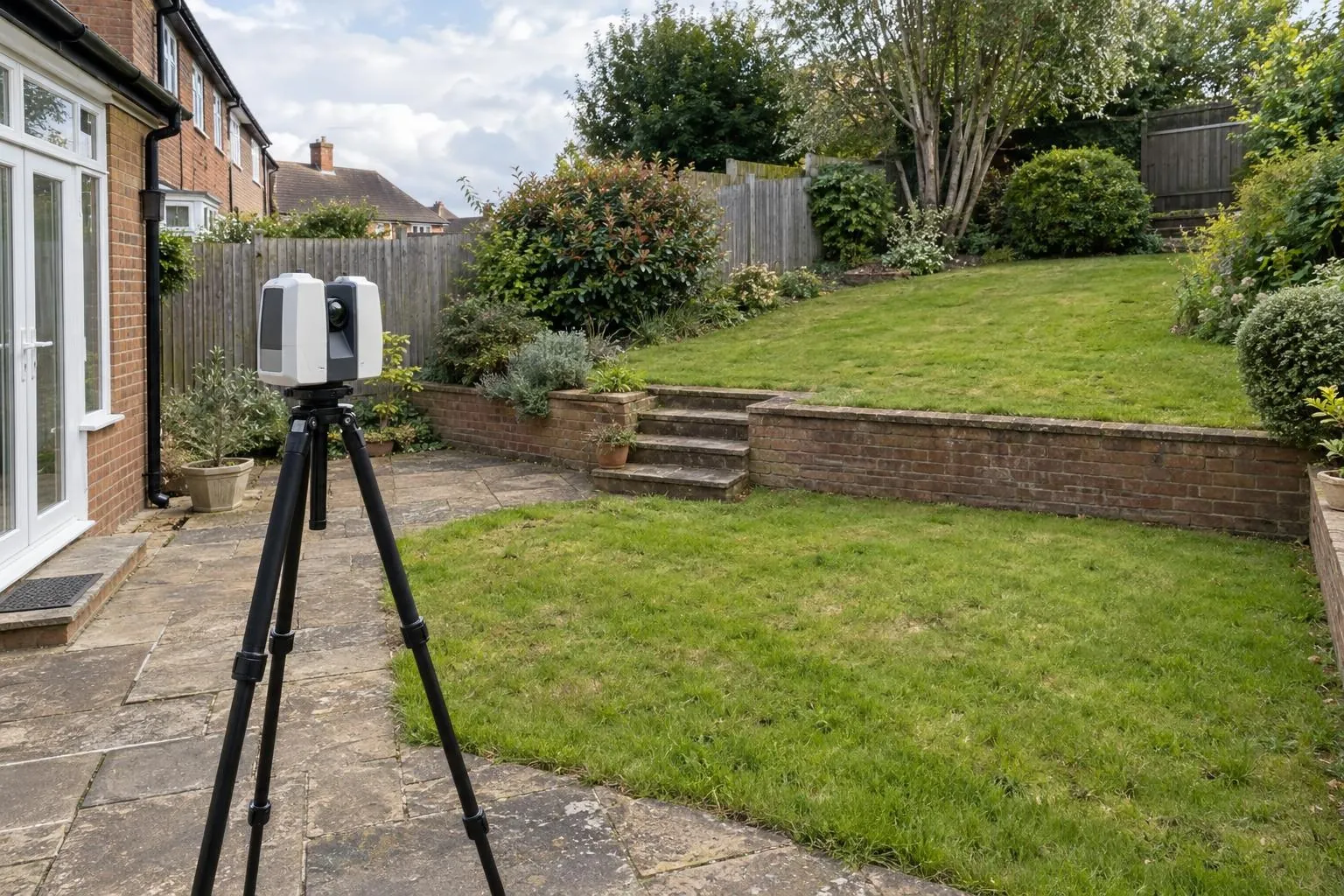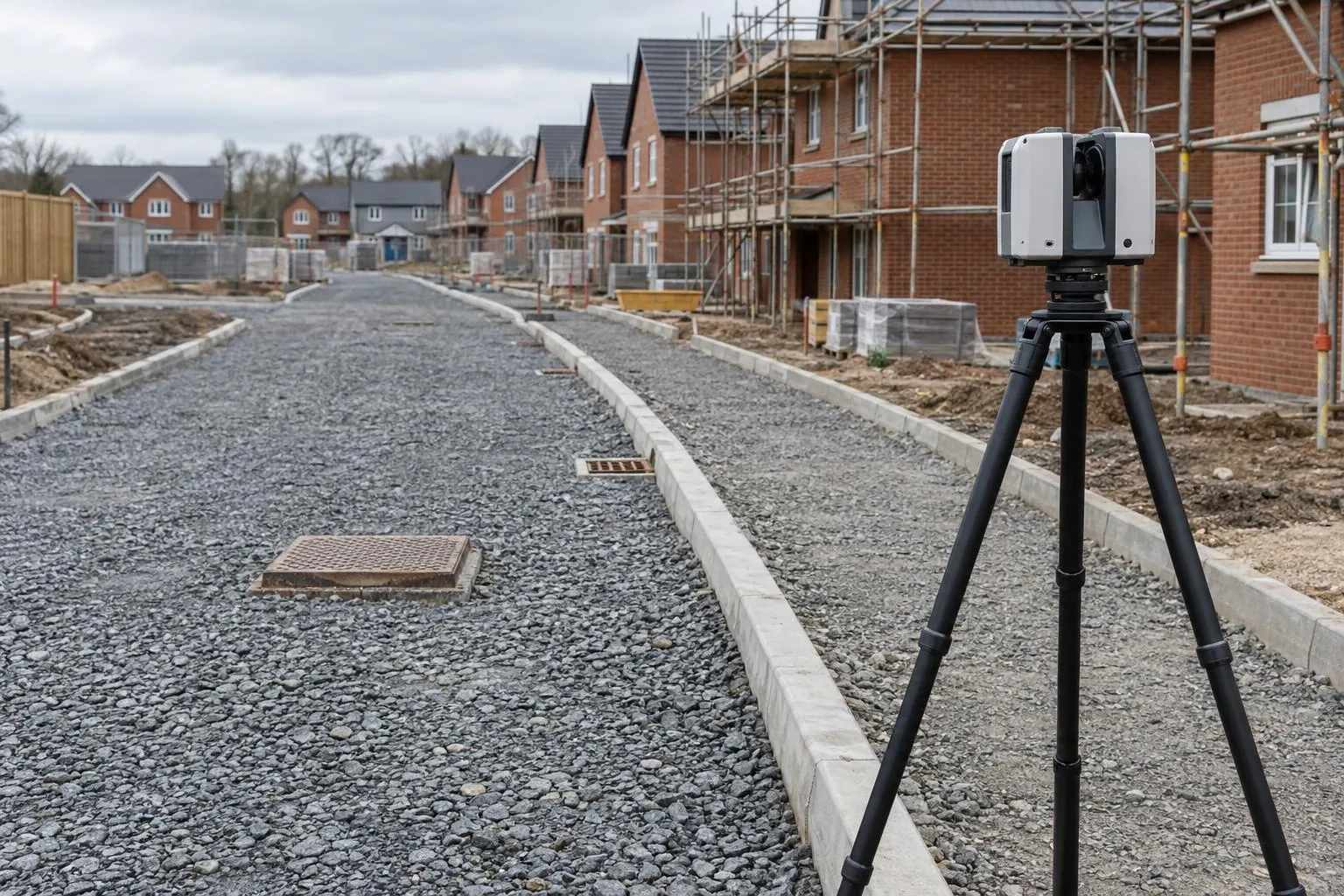
Road & sub-base scanning
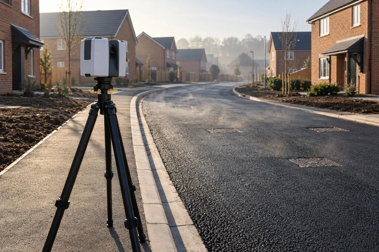
Sub-base and binder checked against the road design before the next layer goes on.
Reporting from your survey data
You don't have to use our scanner. Send us a scan, a drone survey or your own engineer's levels, and we process it and report it against design, in the same clear pass/fail format as every Dimensure check.
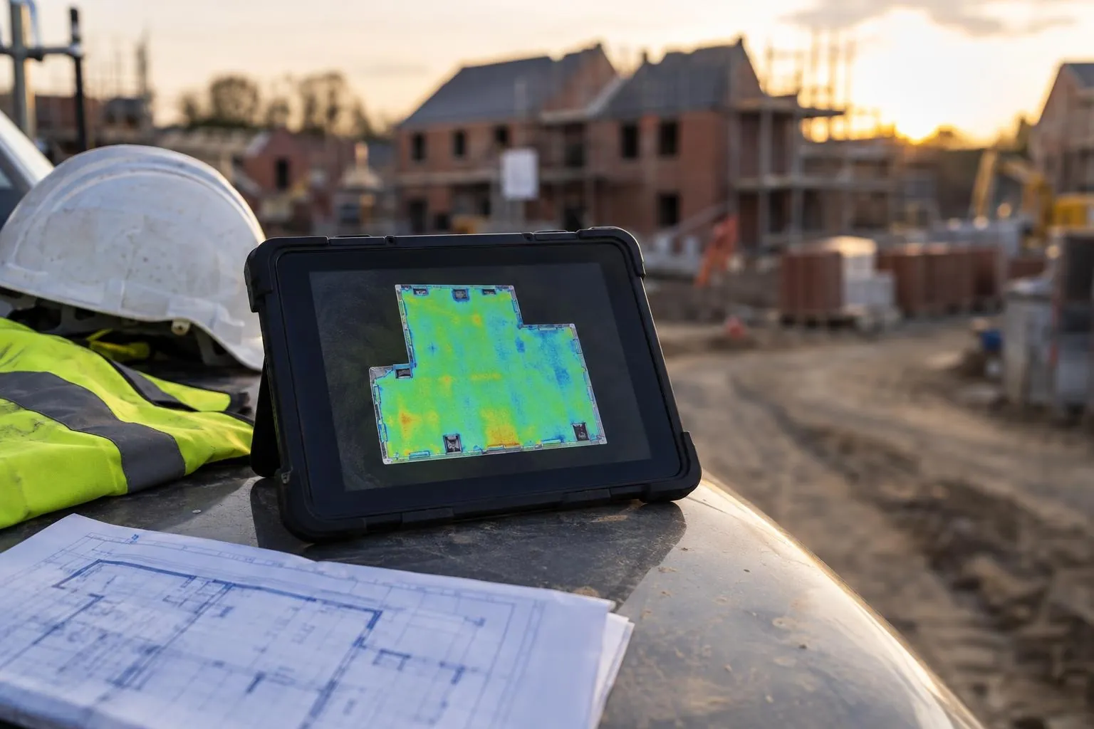
What it is: processing and reporting only. Your site engineer, survey contractor or own scanner collects the data; we register and check it, compare it with the design, and send back a report your team, the adopting authority or a client can read. Or, if you'd rather, we do the survey as well.
We come to site with our Trimble X9, scan the work and report it. This is the standard service on every page of this site, priced in our price guide.
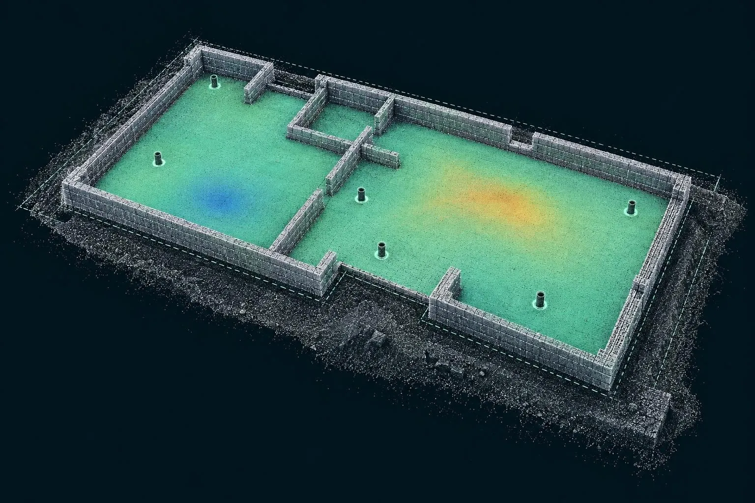
Your own engineer or survey contractor collects the data and we do everything after that: registration checks, the design comparison, the heat-maps, pass/fail and the written report. It suits contractors who already have a site engineer with a scanner or rover, housebuilders who want an independent check of someone else's survey, and anyone who has the data but no time to turn it into something useful.
| Survey type | Typical formats | What the report can show |
|---|---|---|
| Terrestrial laser scan | E57, LAS/LAZ, RCP/RCS, PTS/PTX | Full-surface deviation, flatness, thickness and dimensions |
| Drone LiDAR or photogrammetry | LAS/LAZ point cloud, surface model | Levels, falls and volumes over larger areas; coarser in height than a ground scan |
| Total station or GPS rover | CSV, DWG with levels | Point-by-point deviation, with the surface between points interpolated |
| Design | 3D surface, long and cross sections, 2D drawings with levels | The surface we compare against; we build it from 2D drawings if needed |
We check every data set before we report on it: how well the scans register, whether it ties to the control points you give us, and whether it covers the area you want checked. If it isn't good enough for your tolerance, we say so and explain why, rather than produce a pass or fail the data can't support.
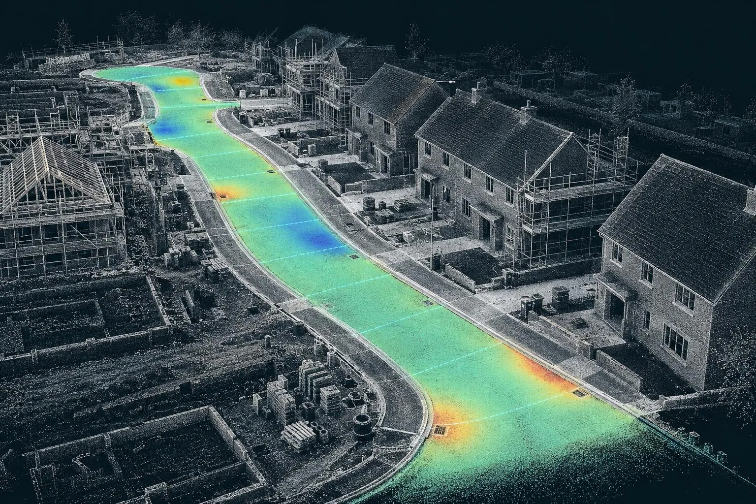
Every report says where the data came from and who surveyed it, so anyone reading it knows exactly what it is based on.
Sub-base and binder checked against the road design before the next layer goes on.
Before-and-after scans that map the thickness actually laid, across the whole road.
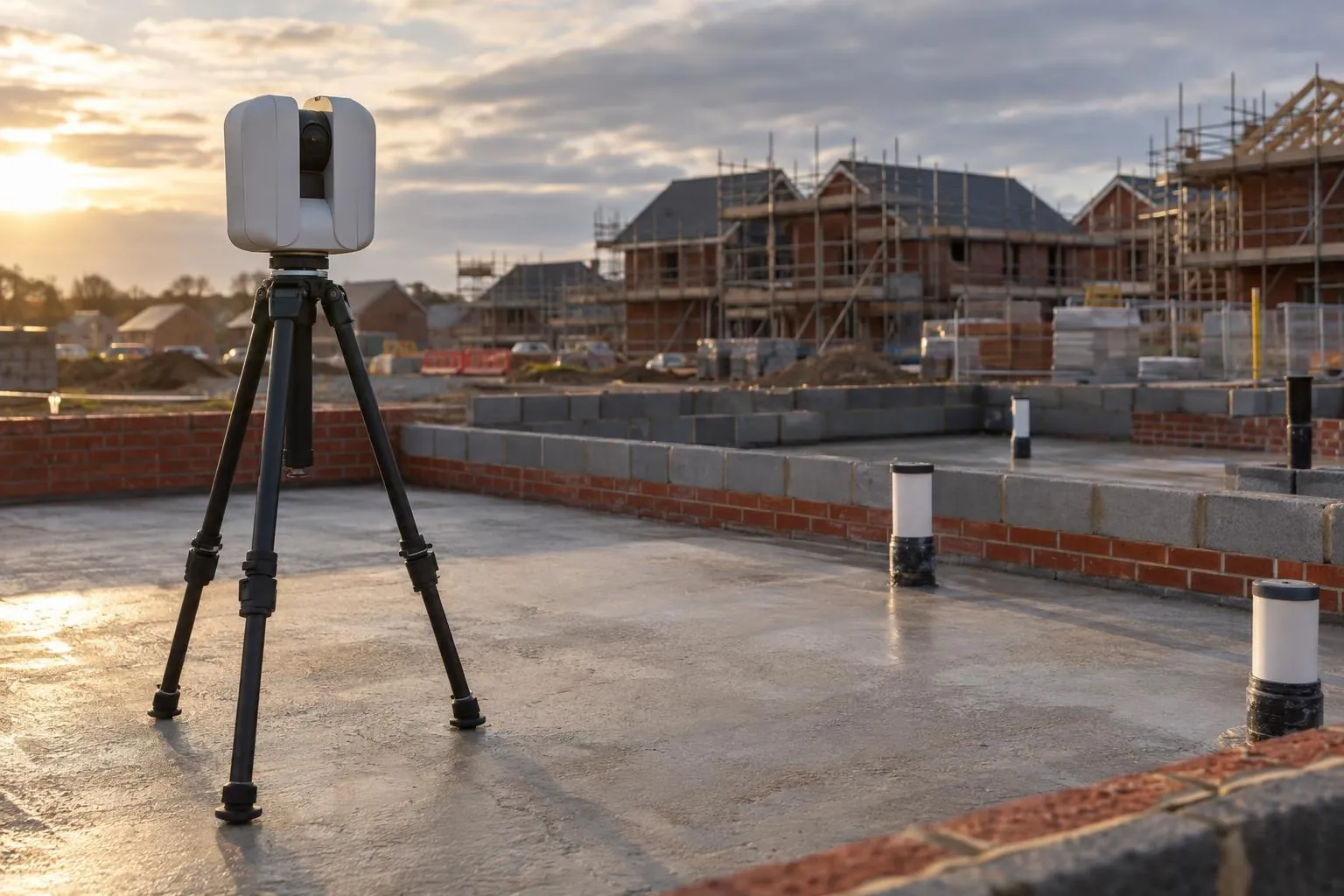
Slab flatness, brickwork to drawing and drain collar positions, checked plot by plot.
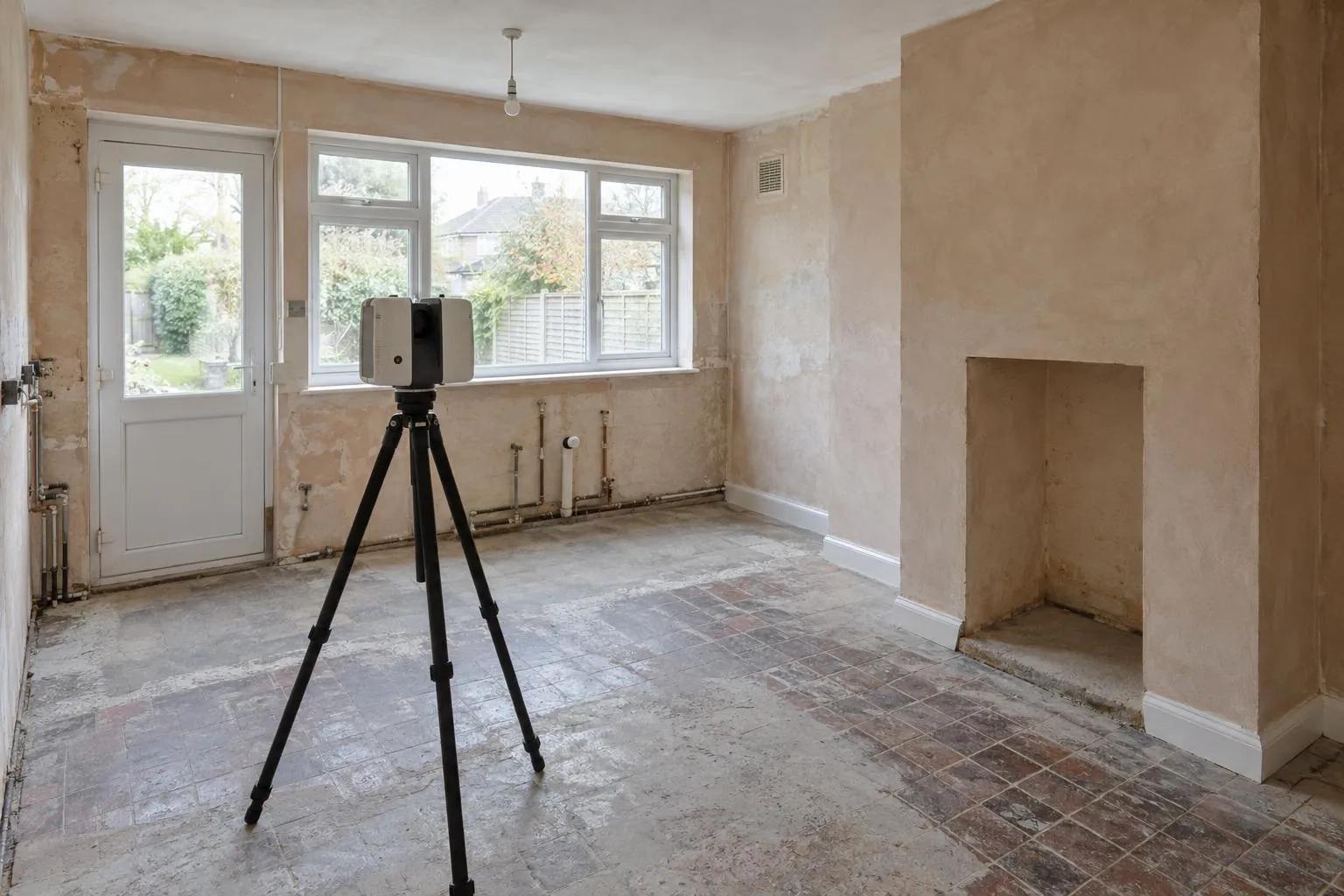
Millimetre-accurate scans of rooms and buildings for kitchens, extensions and interiors.
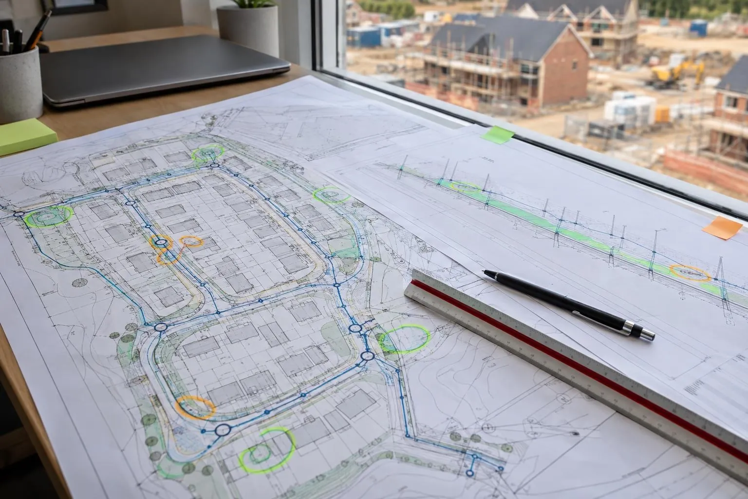
Groundworks and civils drawings reviewed before you dig, on any project: problems found on paper.
Every level, wall, tree and step captured for landscape designers and builders.
Yes. If your site engineer or survey contractor has already scanned or levelled the work, send us the data with the design and the tolerance, and we process it and report it against design in the same format as our own scans: heat-map, pass/fail and cross sections. You don't need to book a site visit, and the survey and the reporting don't have to come from the same firm.
Point clouds from any terrestrial laser scanner (E57, LAS or LAZ, RCP or RCS, PTS or PTX), drone LiDAR or photogrammetry point clouds and surfaces, and total station or GPS rover levels as CSV or a DWG with levels. Design data can be long and cross sections, a 3D design surface, or 2D drawings with levels, which we build the design surface from.
It can only be as accurate as the data you send, so every report states what the data supports. A well-registered terrestrial scan gives full-surface results close to our own. Drone surveys are usually coarser in height, and rover or total station levels are points on a grid, so the surface between them is interpolated and the report says so. If the data can't support your tolerance, we tell you before reporting.
Yes, if the layer underneath was surveyed before it was covered. We compare the 'before' survey with the finished surface, whether either one is your scan, a drone survey or a grid of levels, and map the thickness laid. A dense scan of both layers gives the most reliable result; with grid levels, thickness between the points is interpolated.
Yes, as long as both are tied to the same site control. A common example is your engineer levelling the sub-base and us scanning the finished surface, or the other way round. We check the two sets line up on control points before comparing them, and report the check alongside the result.
No. Reporting from supplied data is done entirely from the files, so there is no travel and it is available anywhere in the UK. If the data turns out to have gaps or registration problems, we can rescan the area ourselves as a normal site visit if you want us to.
The survey data, the coordinate system and level datum it is in, the control points or benchmarks used, the design to compare against, the tolerance you work to, and a note of the instrument and the date it was surveyed. For laser scans, the registration report helps. Send it through the contact form or email info@dimensure.co.uk and we confirm a fixed price.
It is priced per job once we have seen the data, because the work depends on the size of the area, the type and quality of the data and the report you need. There is no site visit or travel in the price. You get a fixed price before we start.
Send the drawing, the location and when you need it. We reply the same working day with a fixed price.