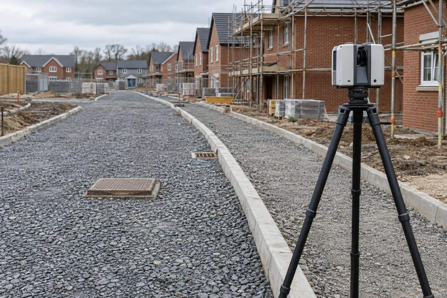
Road & sub-base level surveys
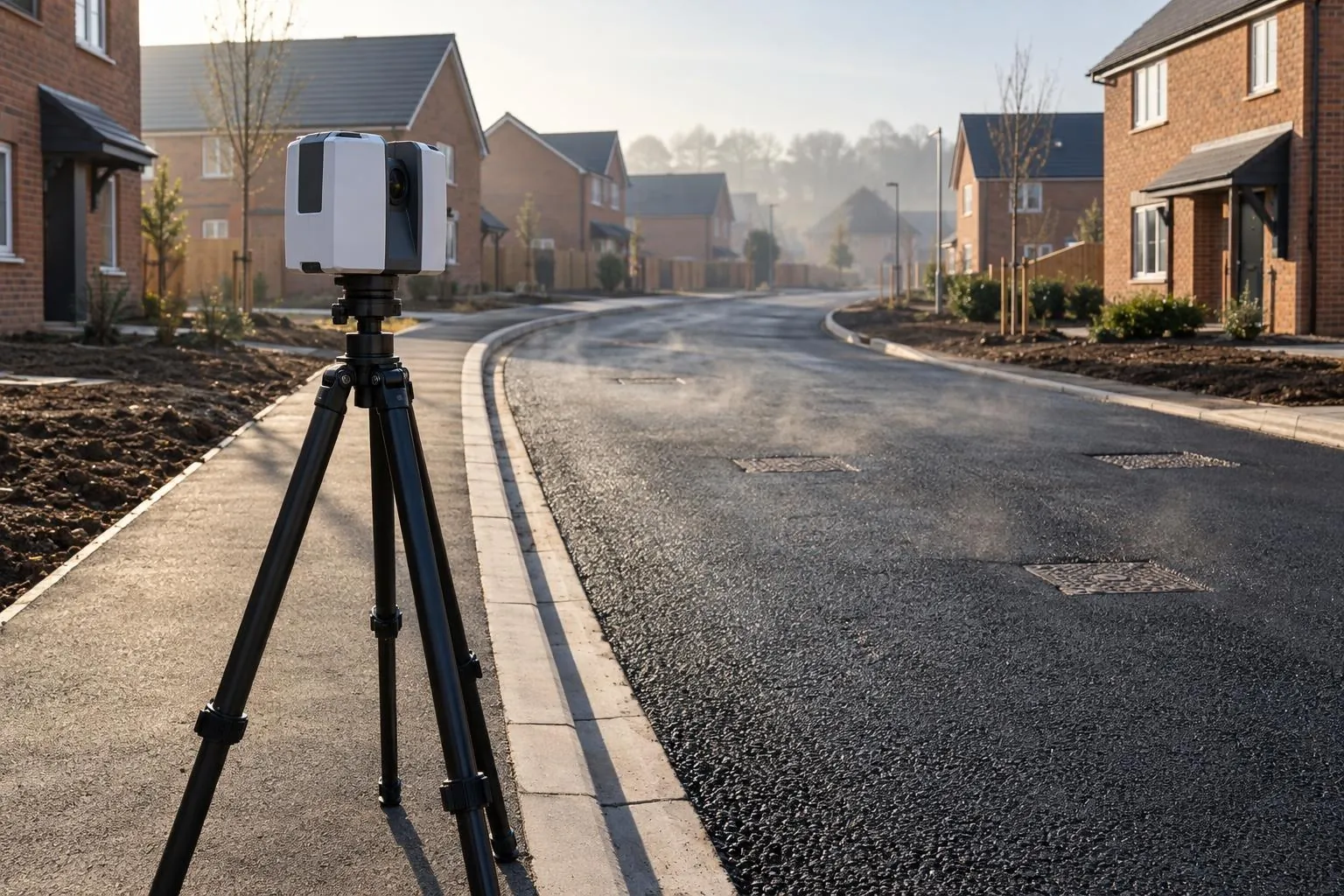
Sub-base and binder checked against the road design before the next layer goes on.
Drone surveys
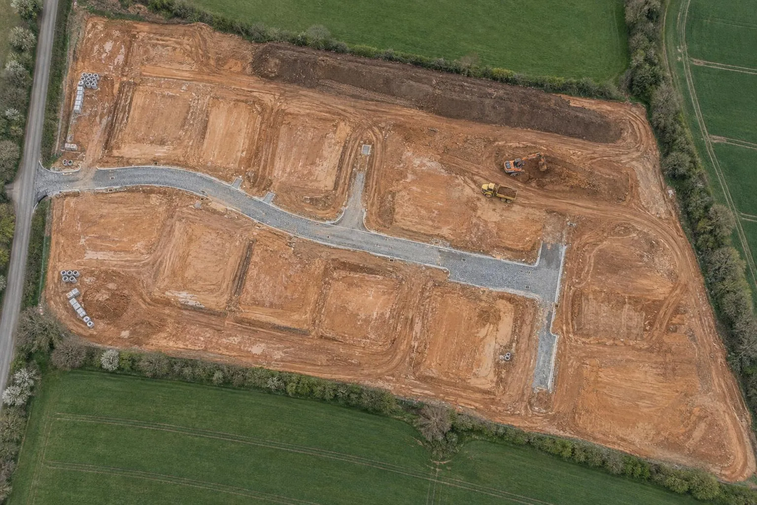
A whole site mapped from the air in one visit. We fly a planned grid, fix the model to the ground with RTK GNSS control, and give you a scaled aerial map, levels and contours you can design, price and measure from.
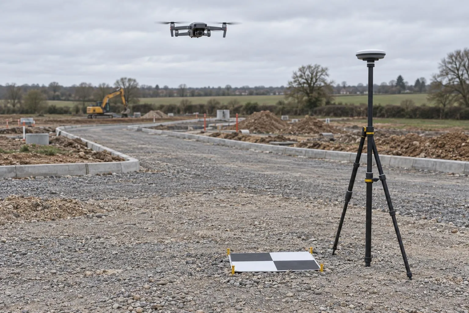
In short: a drone survey turns hundreds of overlapping aerial photos into a scaled orthophoto, a 3D surface with levels, and contours. Ours are tied to ground control measured with an RTK GNSS rover, and every survey is checked against independent points on the ground, so you know how accurate it is before you use it.
A drone's own GPS is good enough to fly the grid, not to survey with. Left uncorrected, an aerial model can be scaled slightly wrong, tilted, or a metre or more out in position and level, and it will still look perfect on screen. That's the difference between a nice aerial picture and a survey.
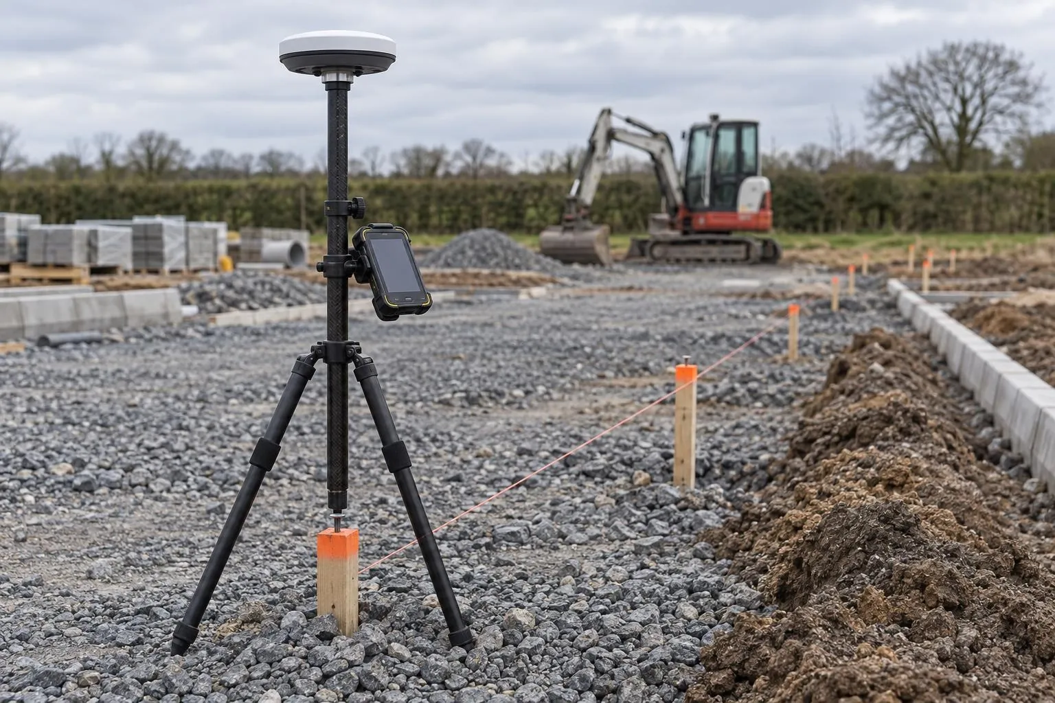
Before we fly, we lay out ground control targets around the site and measure each one with an RTK GNSS rover. The model is fixed to those points. We also measure extra check points that are kept out of the processing, then compare the finished model with them. If it doesn't meet the accuracy the job needs, we don't issue it.
Open land and sites over about a quarter of an acre, earthworks and stockpiles, progress records, roofs and anything that would take days to walk with a rover. For the millimetre checks on sub-base, tarmac, slabs and brickwork we still use the laser scanner, and on a lot of jobs the two work together.
Need a measured plan of a single plot with boundaries, buildings and trees drawn? A topographical survey may suit better, and can include drone data over the open areas.
A location plan or red line, what the survey is for, and the grid and datum you need.
We check airspace and any restrictions, plan the flight and confirm a fixed price.
Ground control and check points measured with RTK GNSS, then the grid flown in one visit.
Model built, checked against the check points, and drawn up into the deliverables you asked for.
Photogrammetry measures what the camera sees. Ground under dense trees, standing crops or water isn't captured; we fill those areas with GNSS levels or a scan and mark them on the plan. Heavy rain, strong wind and low cloud stop flying, and we rebook rather than fly a survey that won't meet the accuracy. Flights follow the Civil Aviation Authority's rules, so a few sites close to airports need permission before we can fly.
Already flown your own drone survey? Send us the data and we'll check it and report it against design. See reporting from your survey data.
See the drone survey cost guide for prices.
Sub-base and binder checked against the road design before the next layer goes on.
Before-and-after scans that map the thickness actually laid, across the whole road.
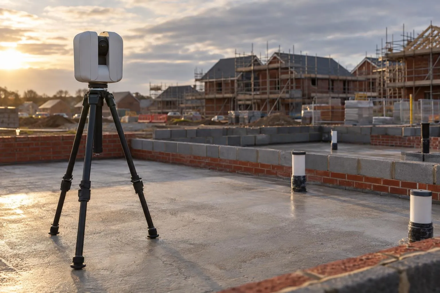
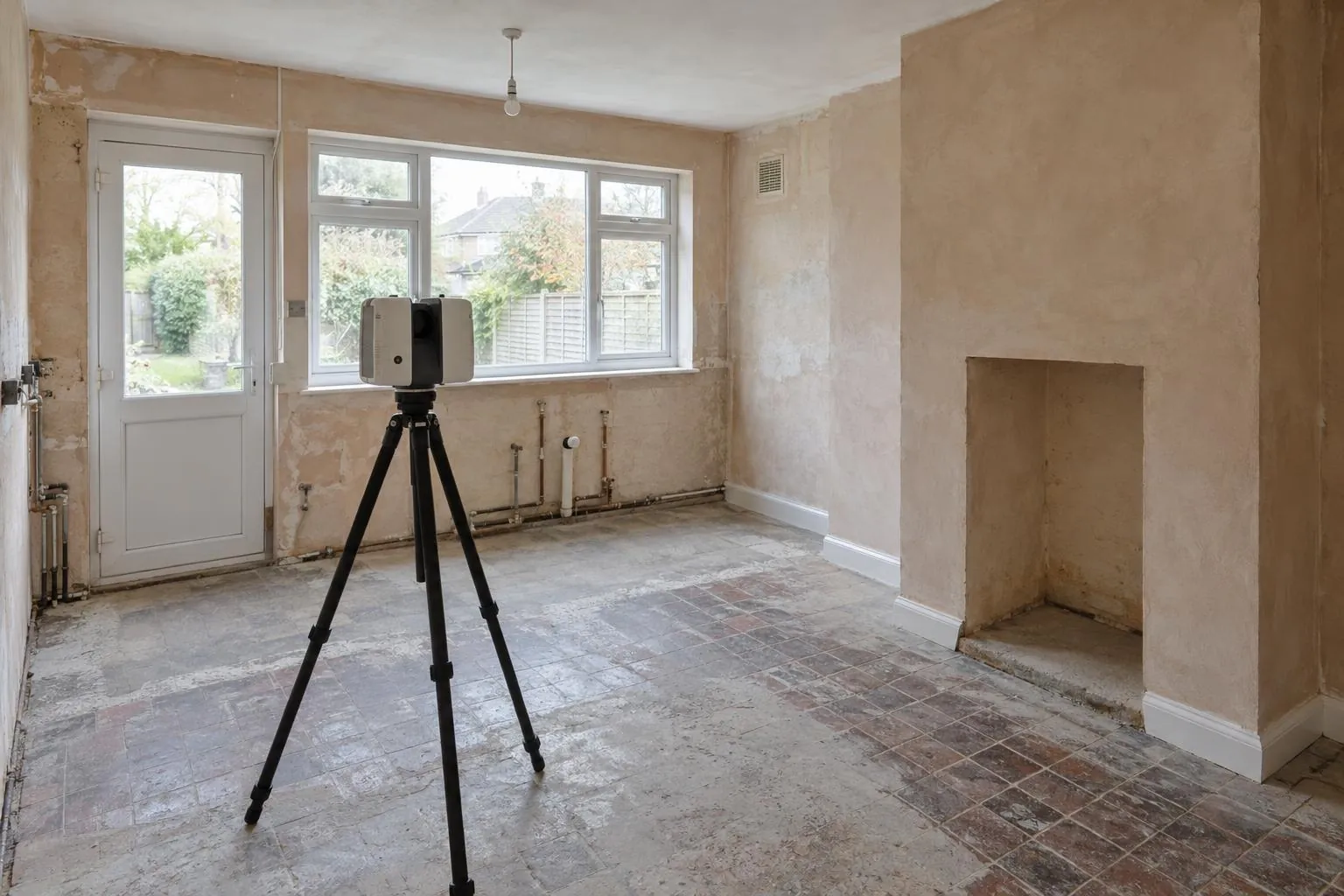
Slab flatness, brickwork to drawing and drain collar positions, checked plot by plot.
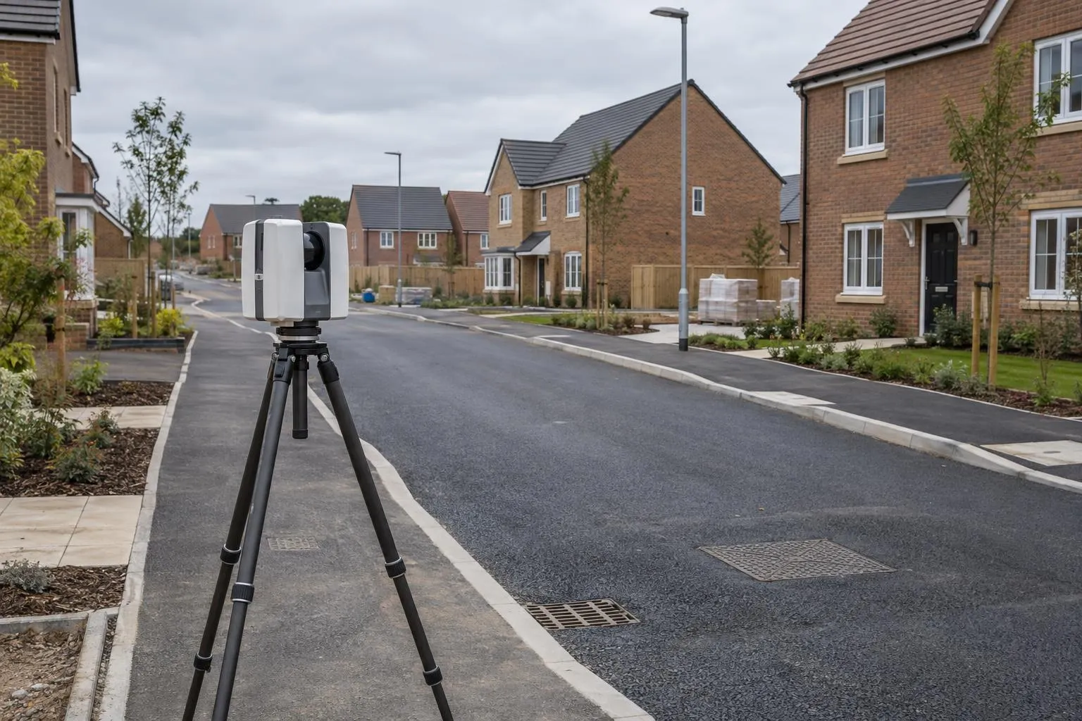
Finished roads, kerbs, drainage covers and plots recorded, with as-built drawings in DWG and PDF.
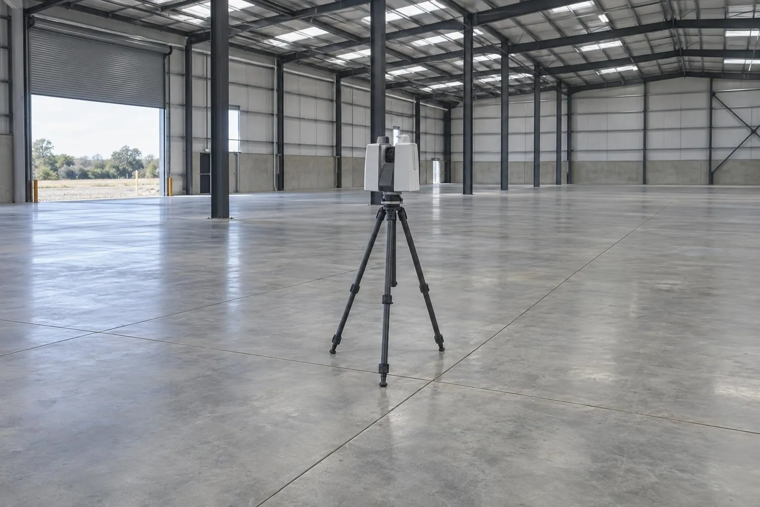
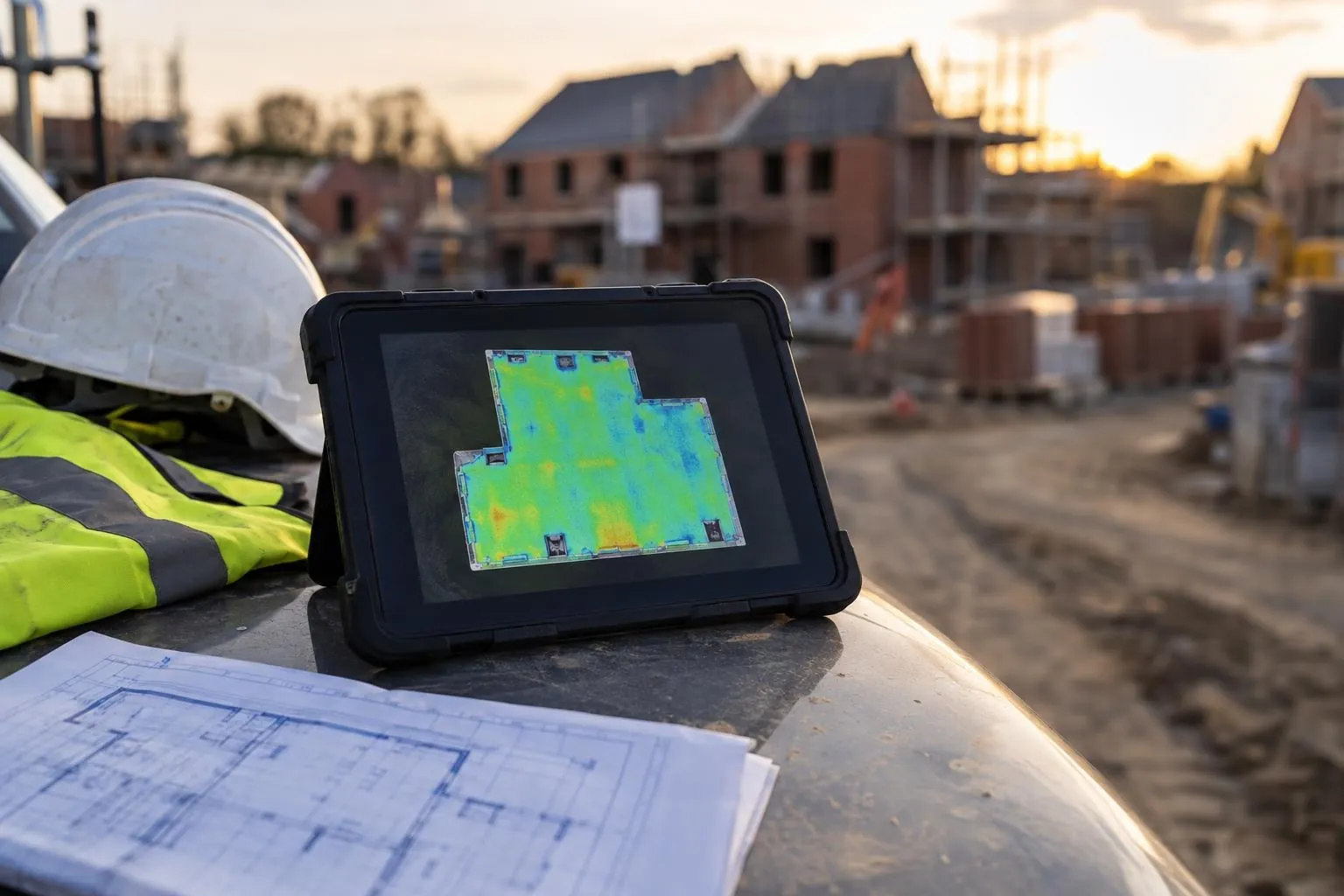
Slabs and screeds scanned edge to edge and checked against SR1-SR3 or your flatness class.
Millimetre-accurate floor plans and elevations for kitchens, extensions and architects.
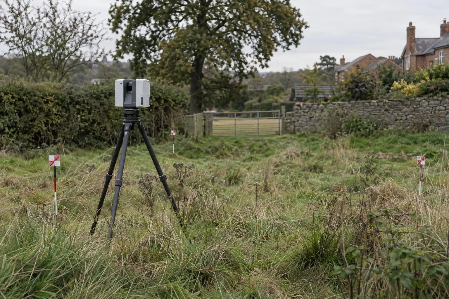
Levels, contours, boundaries, buildings and trees for planning and design, with the full 3D scan.
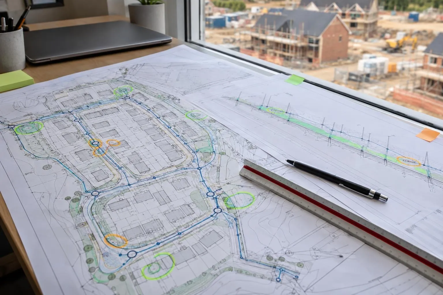
Groundworks and civils drawings reviewed before you dig, on any project: problems found on paper.
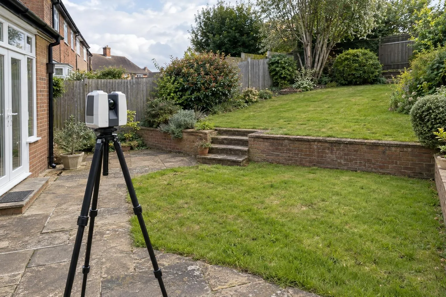
Levels, walls, steps, trees and drains surveyed for garden designers, landscapers and homeowners.
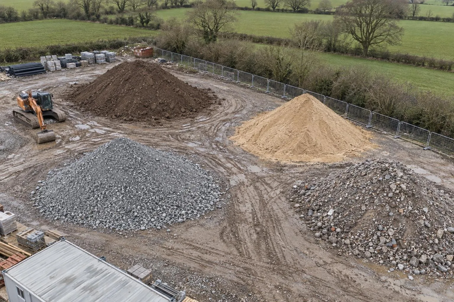
Every heap of stone, topsoil and spoil measured by drone, in cubic metres and tonnes.
Cut and fill against design or a previous survey, topsoil strip depths and muck-shift checks.
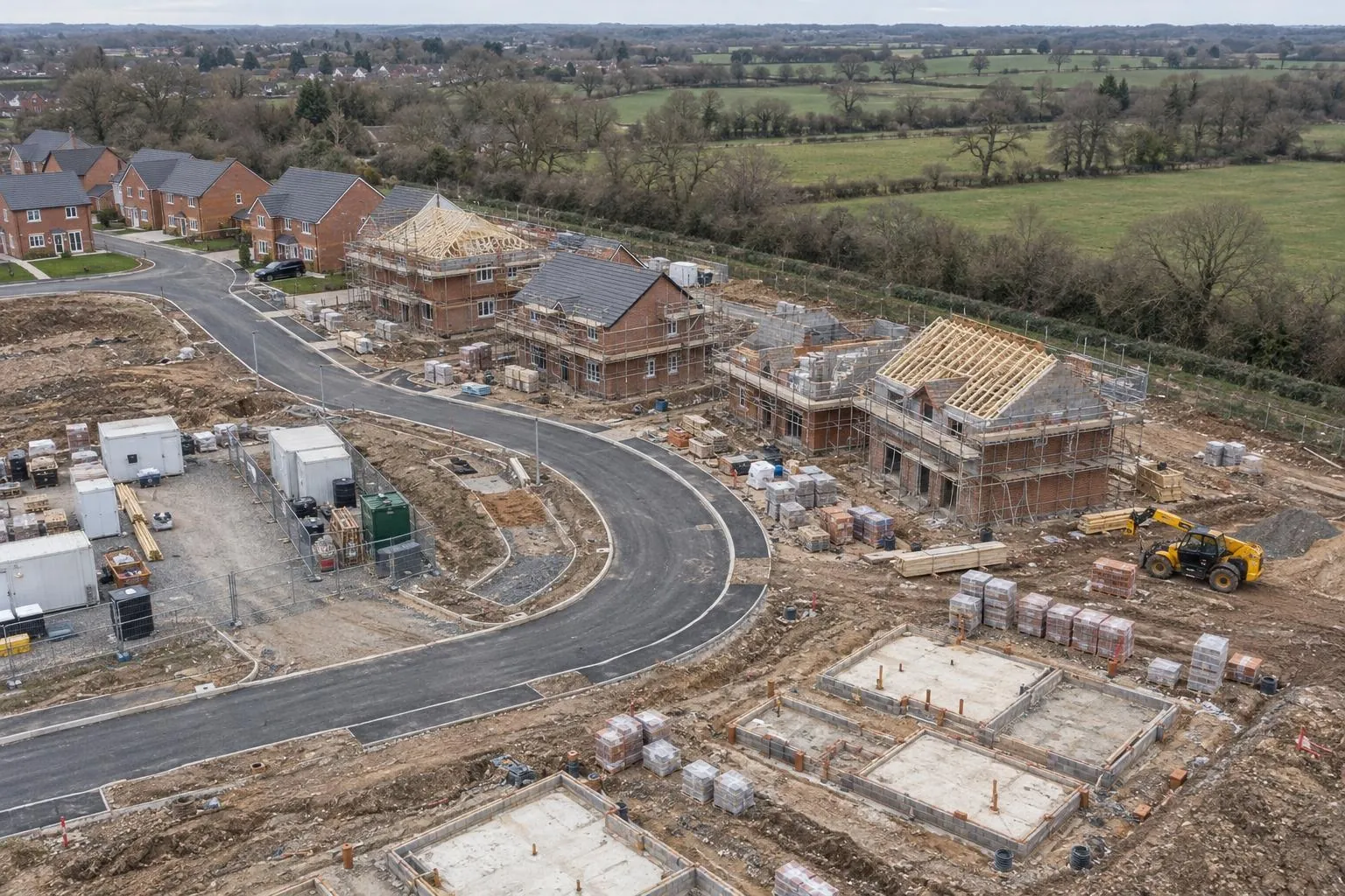
Monthly drone records of the whole site, compared with last month, for valuations and reports.
Site control on Ordnance Survey grid, and pegs for earthworks, drainage, roads and plots.
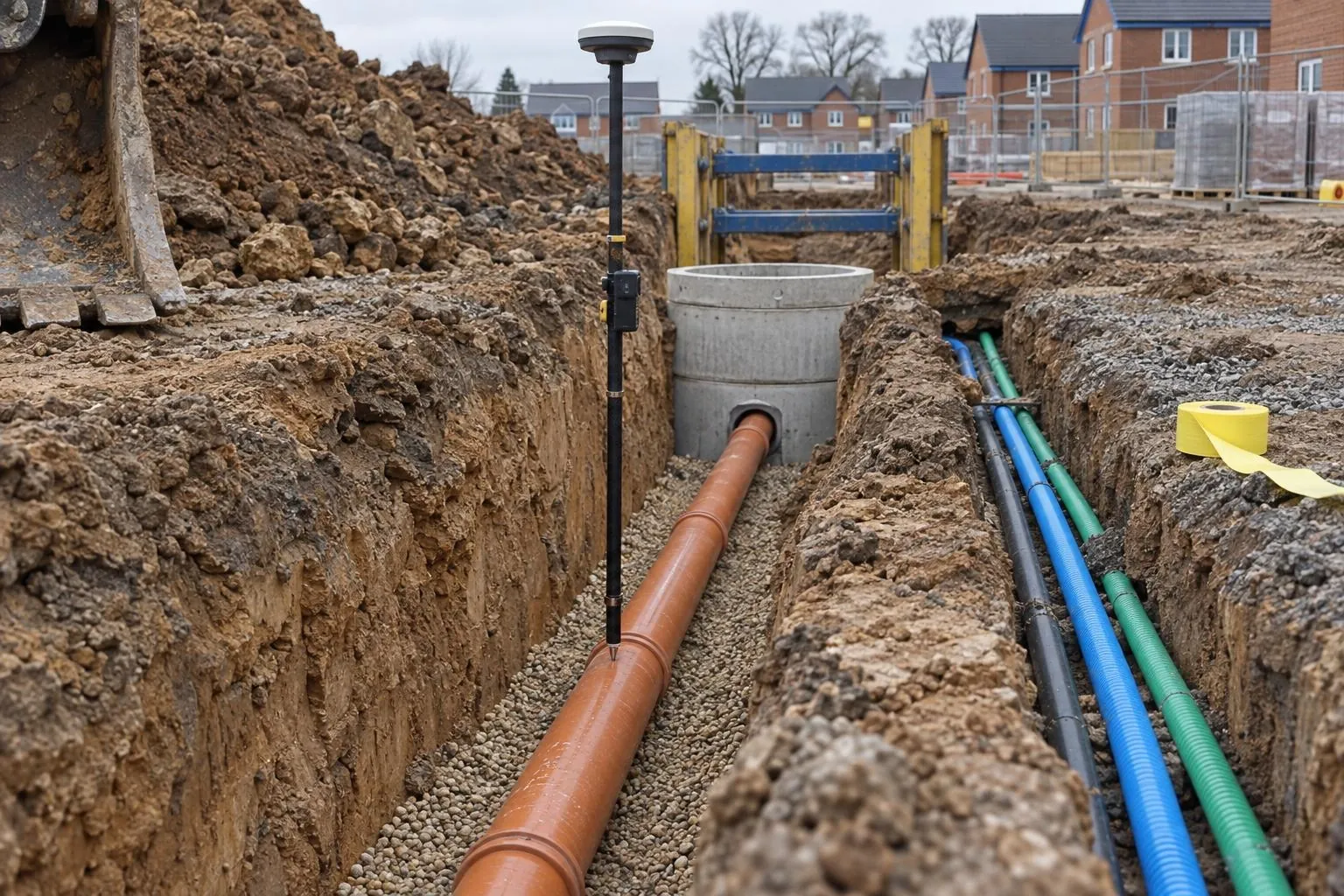
Drainage, chambers and ducts recorded in the open trench, with levels and photos, before backfill.
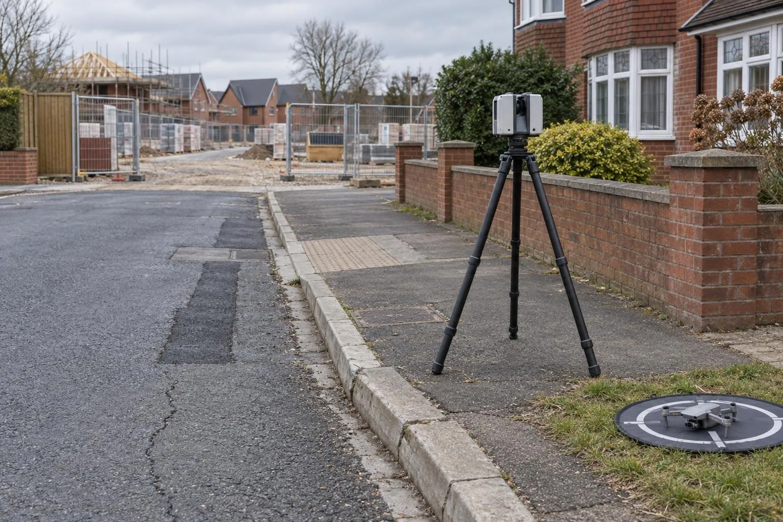
Roads, kerbs, walls and neighbouring buildings recorded by scan, drone and photo before work starts.
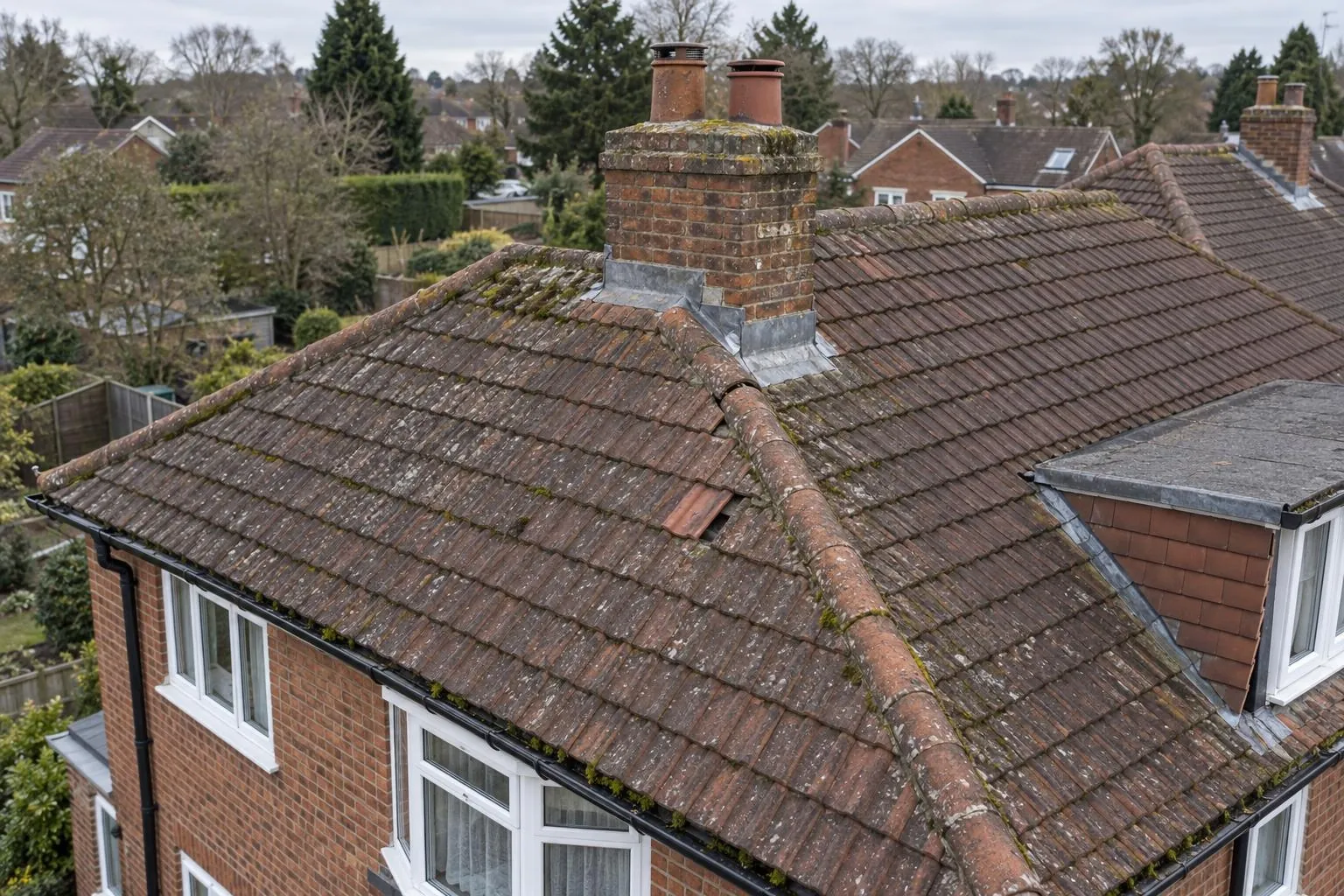
Close-up roof inspections without scaffold, with measured roof areas and pitches if needed.
Already have a scan or your engineer's levels? We process your data and report against design, no visit needed.
A drone flies a planned grid over the site taking hundreds of overlapping photos. Photogrammetry software matches the photos to build a 3D model of the ground and everything on it, then produces a scaled, distortion-free aerial map (an orthophoto), a surface model with levels, and contours. Ground control points measured on the ground fix the model to real coordinates and levels.
It depends on the ground control. With control points fixed by RTK GNSS, a drone survey of open, hard ground is typically within about 30 to 50 mm in level and better in plan. Without ground control, a drone map can look perfect and still be out by a metre or more. We fix control on every survey and check the result against independent check points that were not used to build the model, and that checked figure goes on the deliverable.
No, and it isn't meant to be. A laser scanner measures to a few millimetres, so it is what we use to check sub-base, tarmac and slabs against tight tolerances. A drone covers large areas quickly at centimetre-level accuracy, which is right for site plans, earthworks, stockpiles, progress and land mapping. Where a job needs both, we combine them.
No. Photogrammetry measures what the camera can see, so the ground under dense tree canopy or tall crops isn't captured. We fill those areas with RTK GNSS levels or a laser scan from the ground and say on the plan which method was used where.
It can be. Our ground control is measured with an RTK GNSS rover, so the survey can be delivered on Ordnance Survey National Grid with Ordnance Datum levels, or on your site grid if your engineer has one. Tell us which when you ask for a price.
Yes, when flown within the Civil Aviation Authority's rules. We plan every flight around the CAA Open category rules, keep the drone within sight, stay below 120 m, keep a safe distance from people who aren't involved, and check airspace restrictions before we book. Sites inside an airport flight restriction zone need permission first, which we arrange or tell you about at the quote stage.
An orthophoto as GeoTIFF and as a scaled PDF, a surface model (DSM) and, where the ground is clear, a terrain model (DTM), contours and spot levels in DWG, and a point cloud in LAS or LAZ. A 3D model you can view in a browser is available on request.
Send the drawing, the location and when you need it. We reply the same working day with a fixed price.