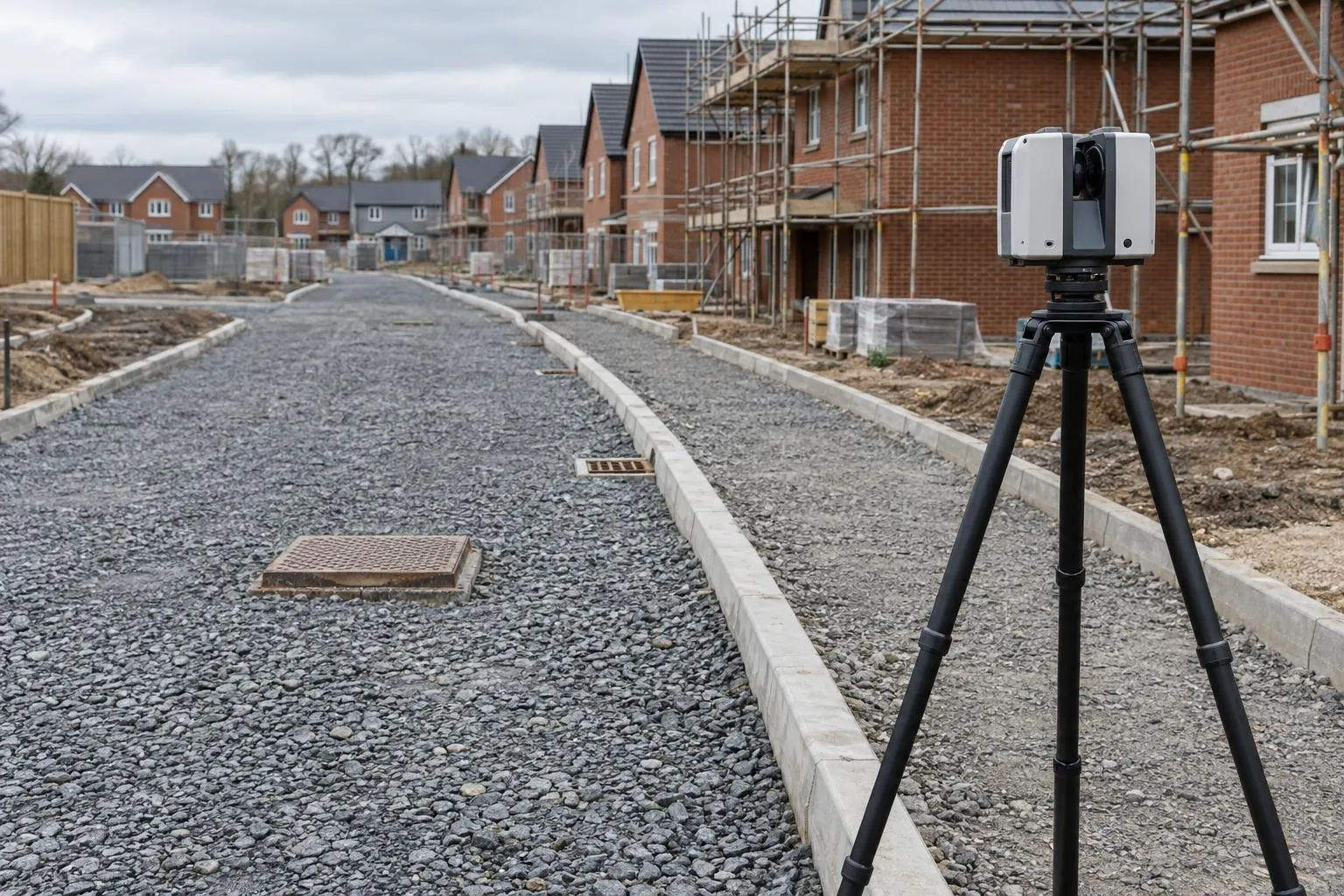
Road & sub-base level surveys
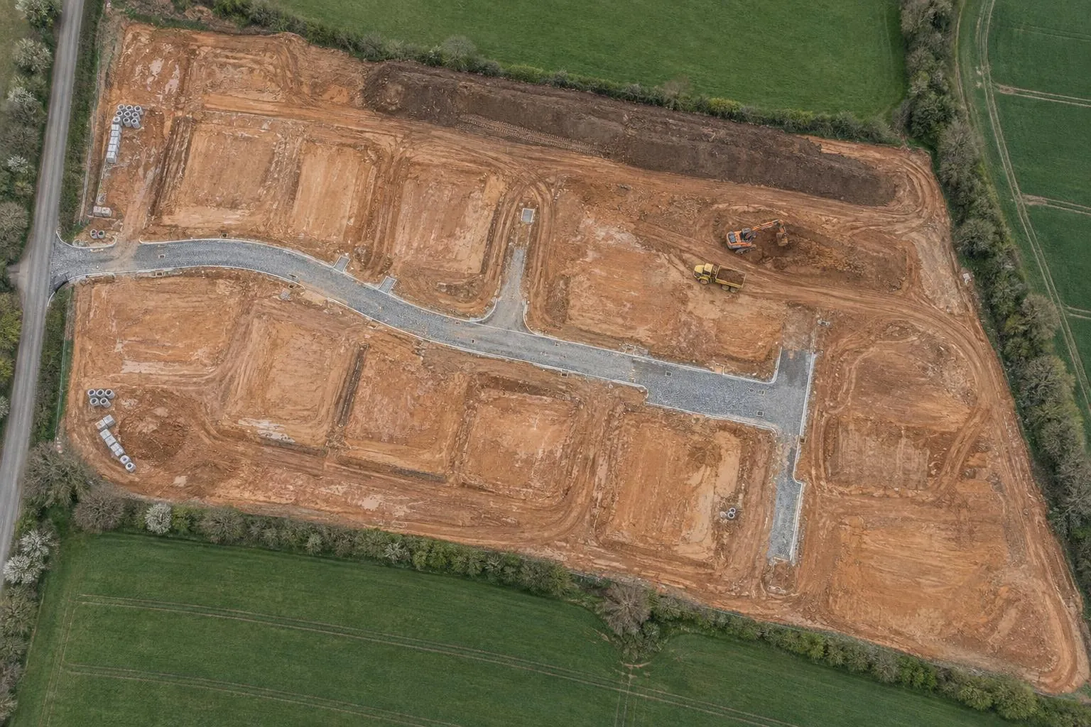
Sub-base and binder checked against the road design before the next layer goes on.
Condition surveys
Prove what was there before you started. We record the road, footpaths, kerbs, walls and neighbouring buildings with a laser scan, drone imagery and referenced photos, so damage claims can be settled with evidence, not memory.
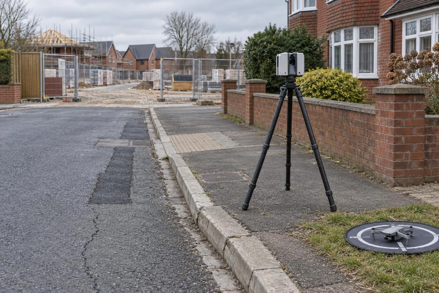
In short: a pre-start condition survey is a dated record of the roads, footpaths, walls and buildings around a site before work begins. Ours combine a laser scan, which measures shape to millimetres, with drone imagery and referenced photos, plus a written schedule of existing defects. Repeat it at the end and any change can be measured.
Most pre-start records are a few hundred phone photos with no locations and no scale. They're better than nothing, but when a neighbour says their wall has started to lean, or the council says the road has been damaged by your wagons, comparing two photos taken from slightly different spots proves very little.
A laser scan records the actual shape of the road, kerbs and walls. Scanned again at the end, the two can be compared point by point, so a claimed rut, settlement or lean can be measured in millimetres. The drone adds a dated overhead view of the whole frontage, and every photo is tied to a location on the plan.
A good record isn't only defensive. It shows neighbours and the council that the job is being run properly, makes genuine damage quick to identify and put right, and stops arguments about pre-existing cracks before they start.
The site plan and which roads, frontages and properties to record. A planning condition helps if there is one.
We confirm the extent, whether interiors are included and the deliverables, and book before your start date.
Laser scan, drone flight and referenced photos of everything in the agreed extent.
Written schedule of defects, photo set, aerial image and scan, within three working days.
It's a factual record of visible condition on the day, not a structural survey, and it doesn't say what caused any defect. Where the Party Wall etc. Act 1996 applies, the appointed party wall surveyor deals with the neighbour's schedule under the Act; our record supports it. Inside neighbouring properties needs the owner's permission. Where a council wants a joint highway inspection, we can attend with their officer.
See the condition survey cost guide for prices.
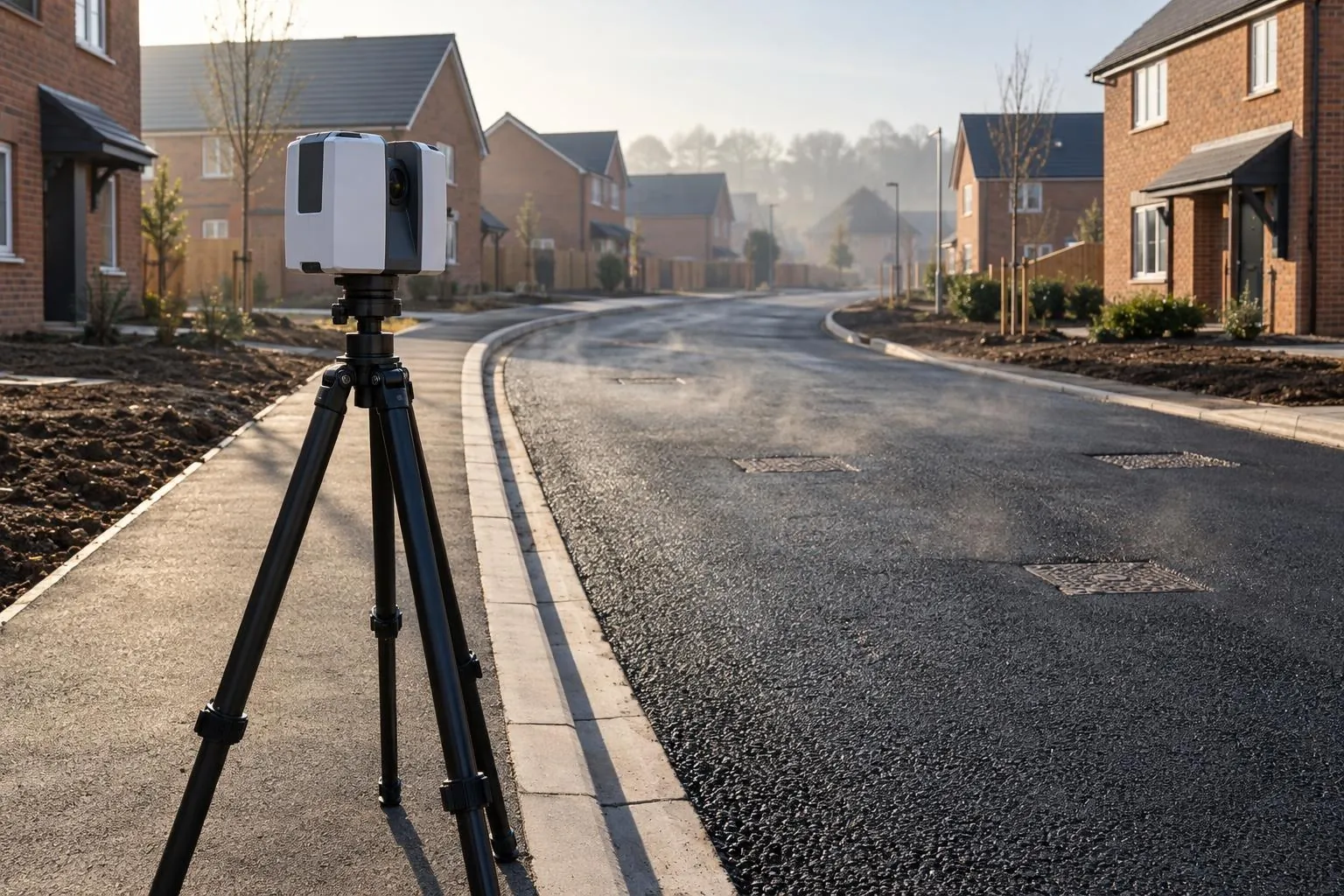
Sub-base and binder checked against the road design before the next layer goes on.
Before-and-after scans that map the thickness actually laid, across the whole road.
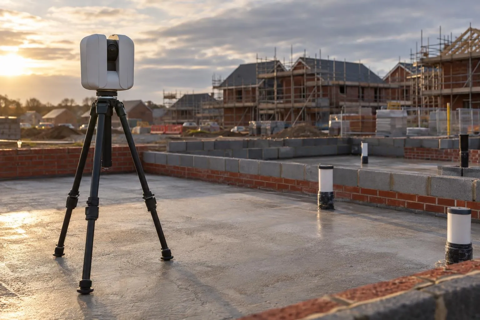
Slab flatness, brickwork to drawing and drain collar positions, checked plot by plot.
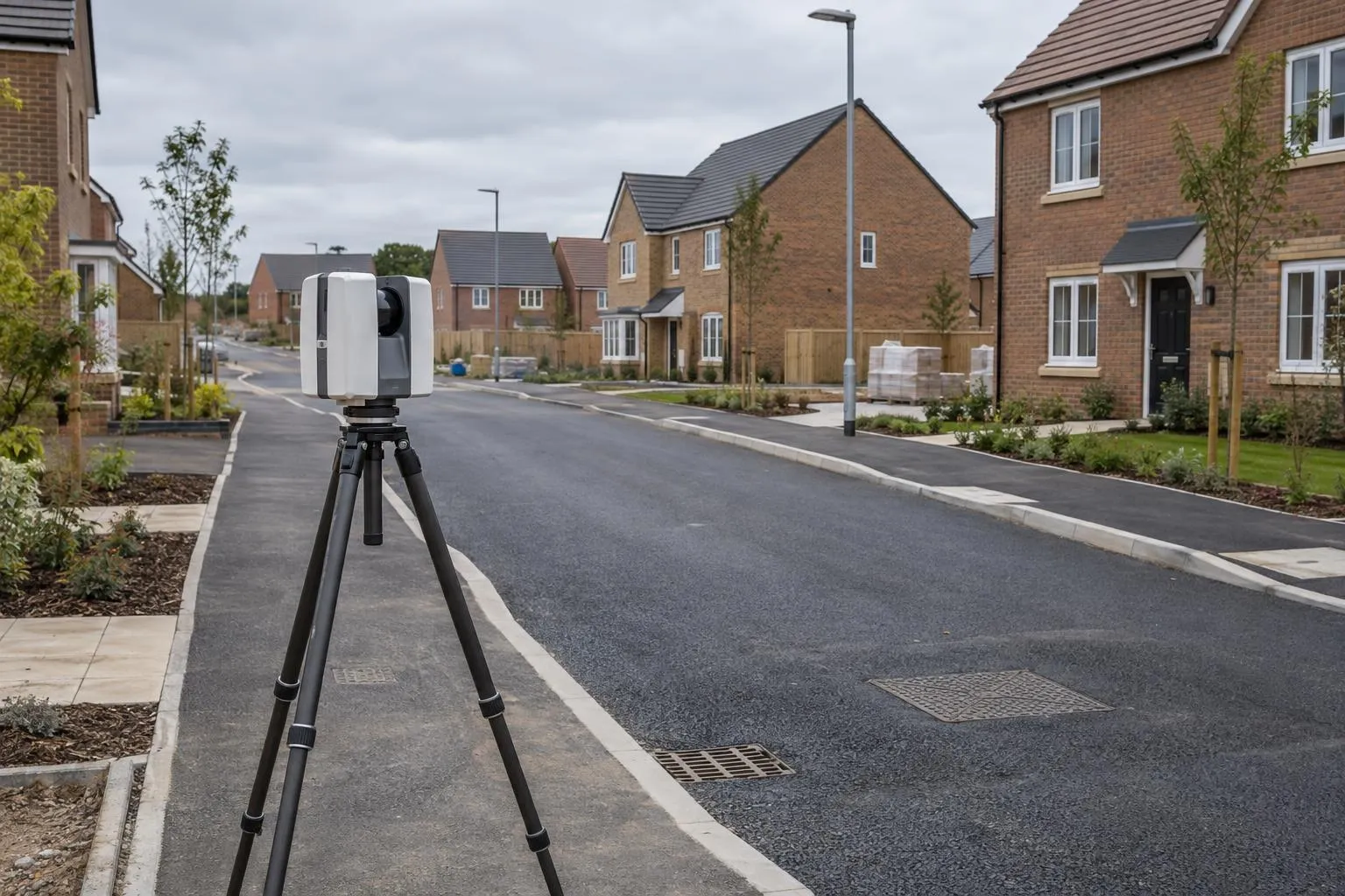
Finished roads, kerbs, drainage covers and plots recorded, with as-built drawings in DWG and PDF.
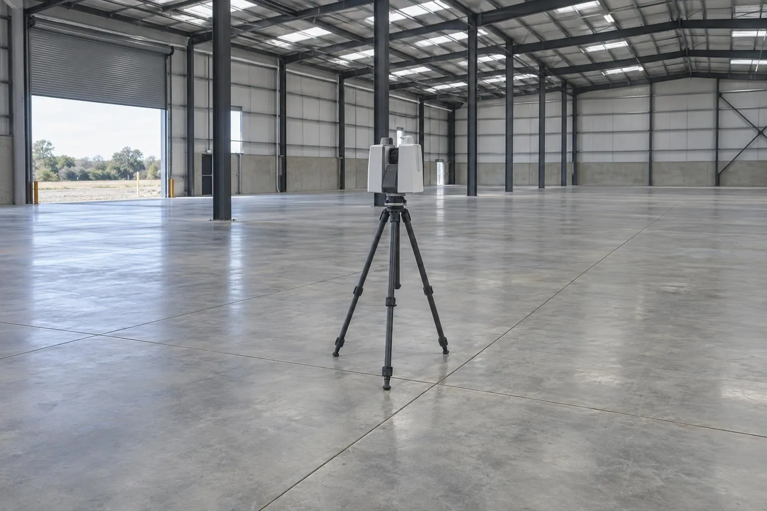
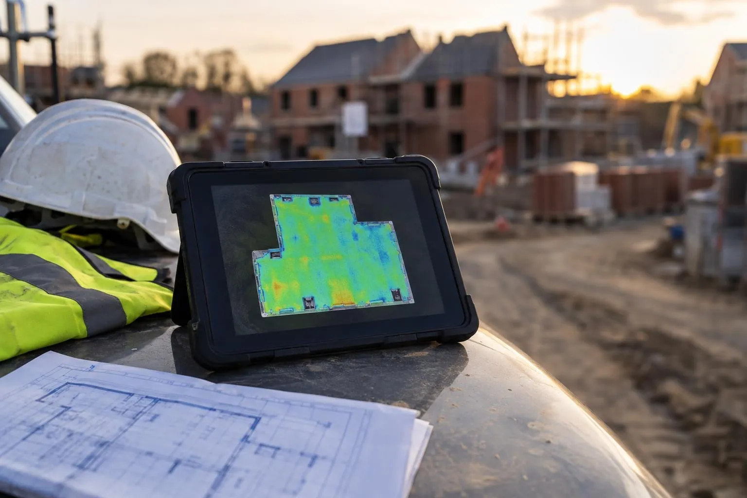
Slabs and screeds scanned edge to edge and checked against SR1-SR3 or your flatness class.
Millimetre-accurate floor plans and elevations for kitchens, extensions and architects.
Levels, contours, boundaries, buildings and trees for planning and design, with the full 3D scan.
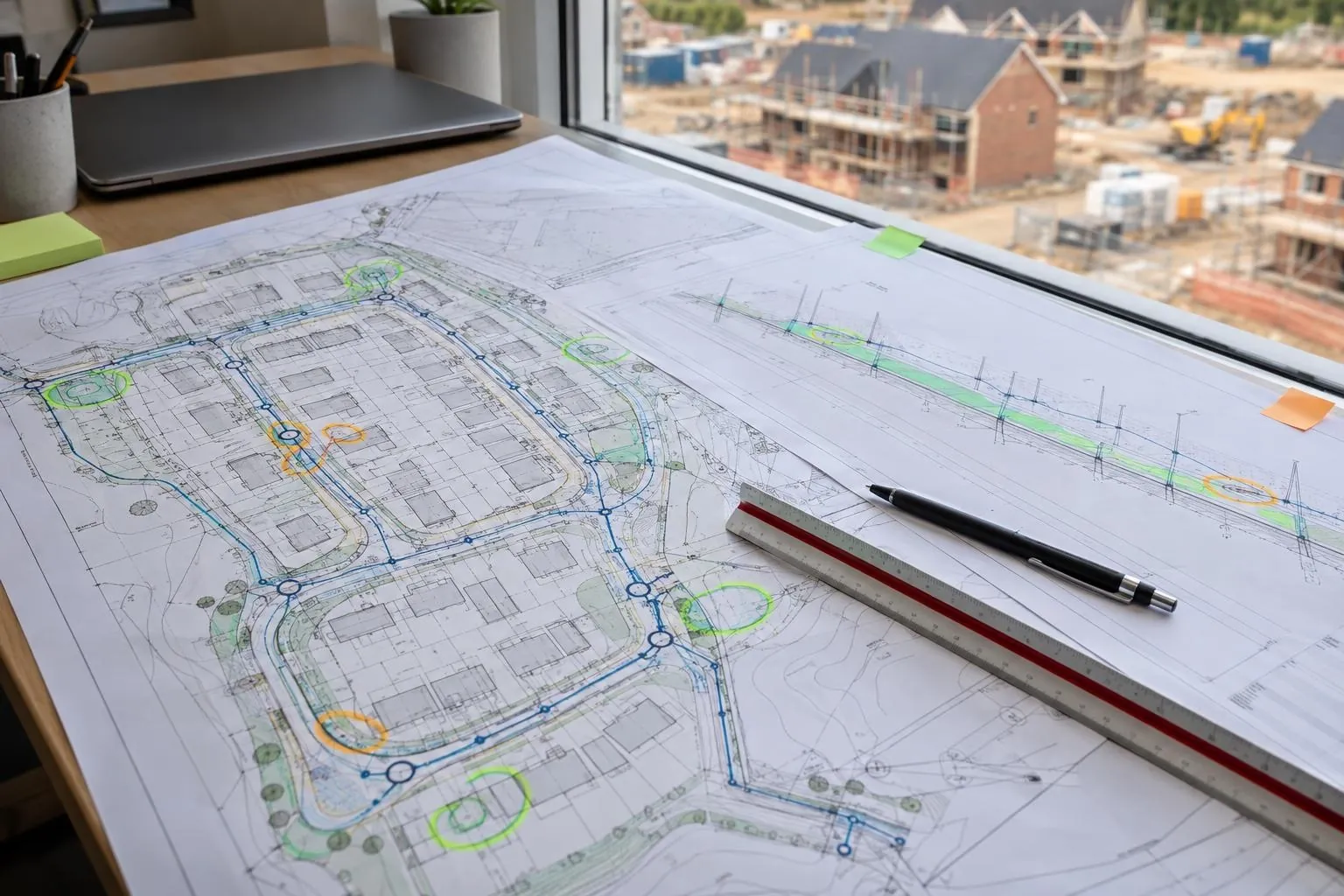
Groundworks and civils drawings reviewed before you dig, on any project: problems found on paper.
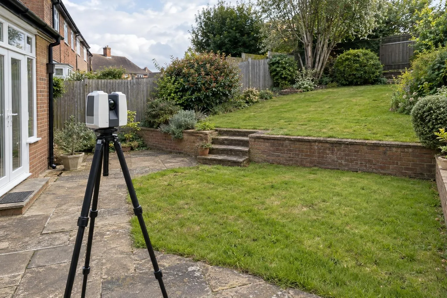
Levels, walls, steps, trees and drains surveyed for garden designers, landscapers and homeowners.
Aerial mapping tied to RTK GNSS control: scaled orthophotos, levels and contours for whole sites.
Every heap of stone, topsoil and spoil measured by drone, in cubic metres and tonnes.
Cut and fill against design or a previous survey, topsoil strip depths and muck-shift checks.
Monthly drone records of the whole site, compared with last month, for valuations and reports.
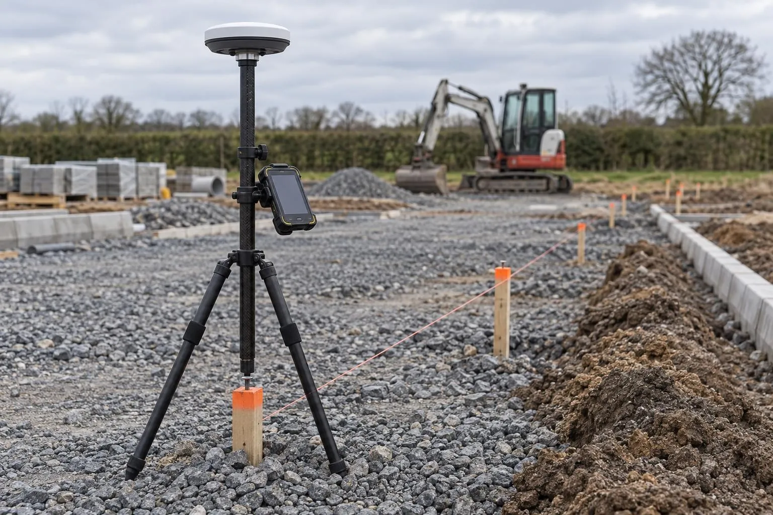
Site control on Ordnance Survey grid, and pegs for earthworks, drainage, roads and plots.
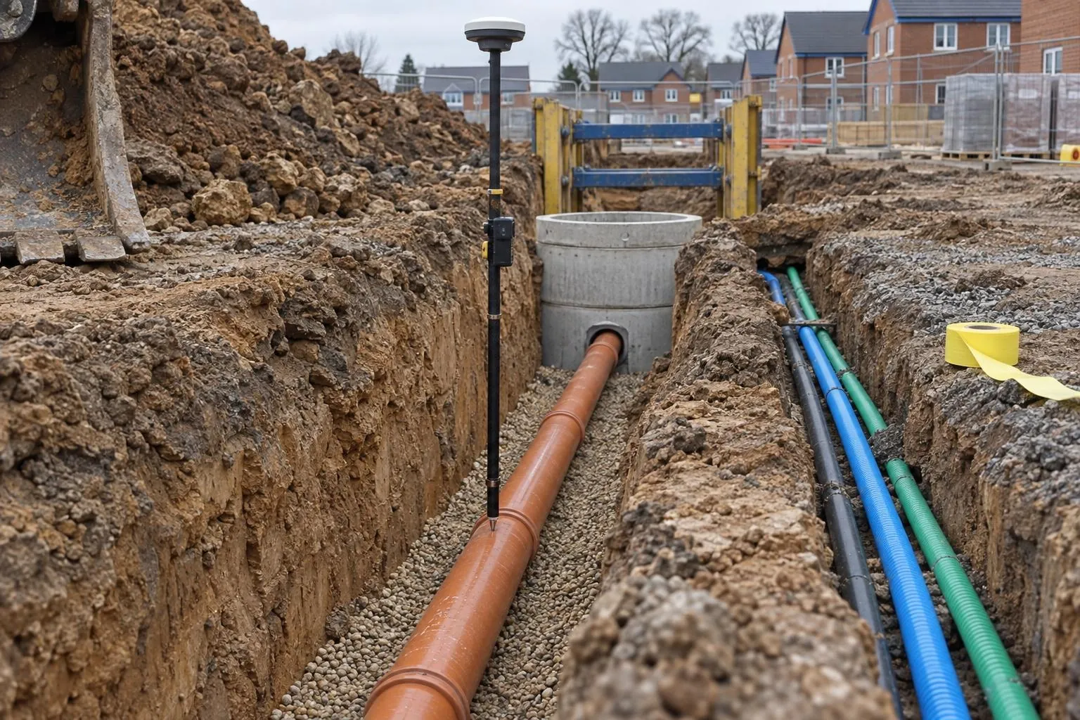
Drainage, chambers and ducts recorded in the open trench, with levels and photos, before backfill.
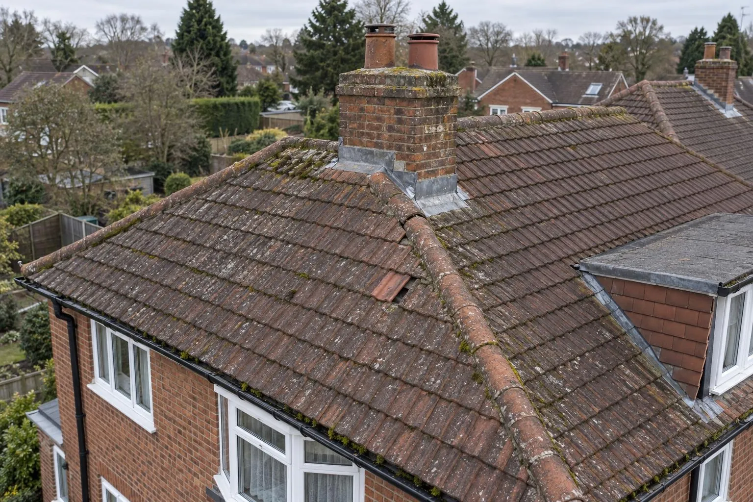
Close-up roof inspections without scaffold, with measured roof areas and pitches if needed.
Already have a scan or your engineer's levels? We process your data and report against design, no visit needed.
A dated record of the condition of everything around a site before work begins: the road, footpaths, kerbs, verges, gullies, boundary walls and the outside of neighbouring buildings. If damage is claimed later, the record shows whether the crack, pothole or broken kerb was already there.
Photos show cracks and damage; a laser scan measures shape. With a scan, a claim that a road has rutted, a wall has leaned or a footpath has dropped can be checked against measured data from before the job, to a few millimetres, instead of comparing two photos by eye. The drone adds an overall dated view of the whole frontage.
Some planning permissions and highway agreements require a pre-start survey of the adjoining highway, and many contractors do one anyway to protect themselves from damage claims. Check the wording of the condition or agreement; some councils want a joint inspection with their own officer as well. Our record gives you the evidence either way.
Not quite. Where the Party Wall etc. Act 1996 applies, the schedule of condition of the neighbour's property is usually prepared or agreed by the appointed party wall surveyor. Our record can support that, and covers everything the Act doesn't, such as roads, footpaths and properties that aren't party wall neighbours.
Only with the owner's permission. Most pre-start records cover the outside of neighbouring buildings from the road and the site. Where an owner agrees, we can record the inside too, which is helpful next to deep excavations, piling or demolition.
Yes. A post-completion survey done the same way gives a like-for-like comparison, and with the scan data, any change in level or shape can be measured directly. It's the quickest way to close out damage claims at the end of a contract.
Send the drawing, the location and when you need it. We reply the same working day with a fixed price.