How it works
How laser scanning works, from booking to report
What we need from you, what happens on site, how accurate the result is, and what you get back.
Tell us the job
Site or address, what needs checking, the drawings, the tolerance and when you need it. An email or the contact form is fine.
Fixed price, booked date
We confirm exactly what we'll check, what you'll get back and the price, and book a date around your programme.
Scan on site
We sign in, tie into your control where needed, and scan, working around the gang and the programme.
Process and check
Scans are registered and compared with your design, then our team goes through the results, sense-checks them against the drawings and the site, and flags any problems.
Report and data
Next working day for site QC; three to five working days for drawn surveys. Data is kept for at least six years.
What we need from you
- Roads: long and cross sections or a 3D design surface, plus the location and coordinates of two or three control stations.
- Plots: house-type drawings, the drainage layout showing collar positions, and plot numbers.
- Buildings and gardens: the address, what the survey is for, and which rooms or areas you need.
- All jobs: the tolerance or level of detail you need, site rules, induction requirements and access.
On site
On construction sites we work under your induction, permits and RAMS, wear full PPE and keep the scanner out of plant routes. The scanner levels and calibrates itself at every set-up, so there's no time lost between positions. It uses a Class 1 eye-safe laser, so nobody needs to stop work or look away.
In homes we need access to the rooms or garden being surveyed. Most homes and gardens are surveyed in a single visit, at a time that suits you.
Accuracy: what the numbers mean
In short: the Trimble X9 is specified at 2 mm range accuracy and 2.3 mm 3D point accuracy at 10 m. The accuracy of a finished survey also depends on how well the scans are joined and tied to control, so every report states that registration error for the job.
- Range accuracy
- 2 mm
- 3D point accuracy
- 2.3 mm at 10 m
- At 20 m
- 3.0 mm
- Laser
- Class 1, eye-safe
Manufacturer specifications from the Trimble X9 datasheet.
Accuracy is the reason we keep set-ups short on QC work. Points close to the scanner are the most accurate, so on a road or slab we set up often enough that the surface being checked is always within a comfortable distance.
We also tell you when the data isn't good enough for the question. A check against a ±6 mm tolerance needs tighter registration than a garden plan does. If a job can't meet the tolerance, for example because there's water lying on the surface, we say so and rescan rather than issuing a pass we can't stand behind.
What you get back
| Deliverable | Format | Comes with |
|---|---|---|
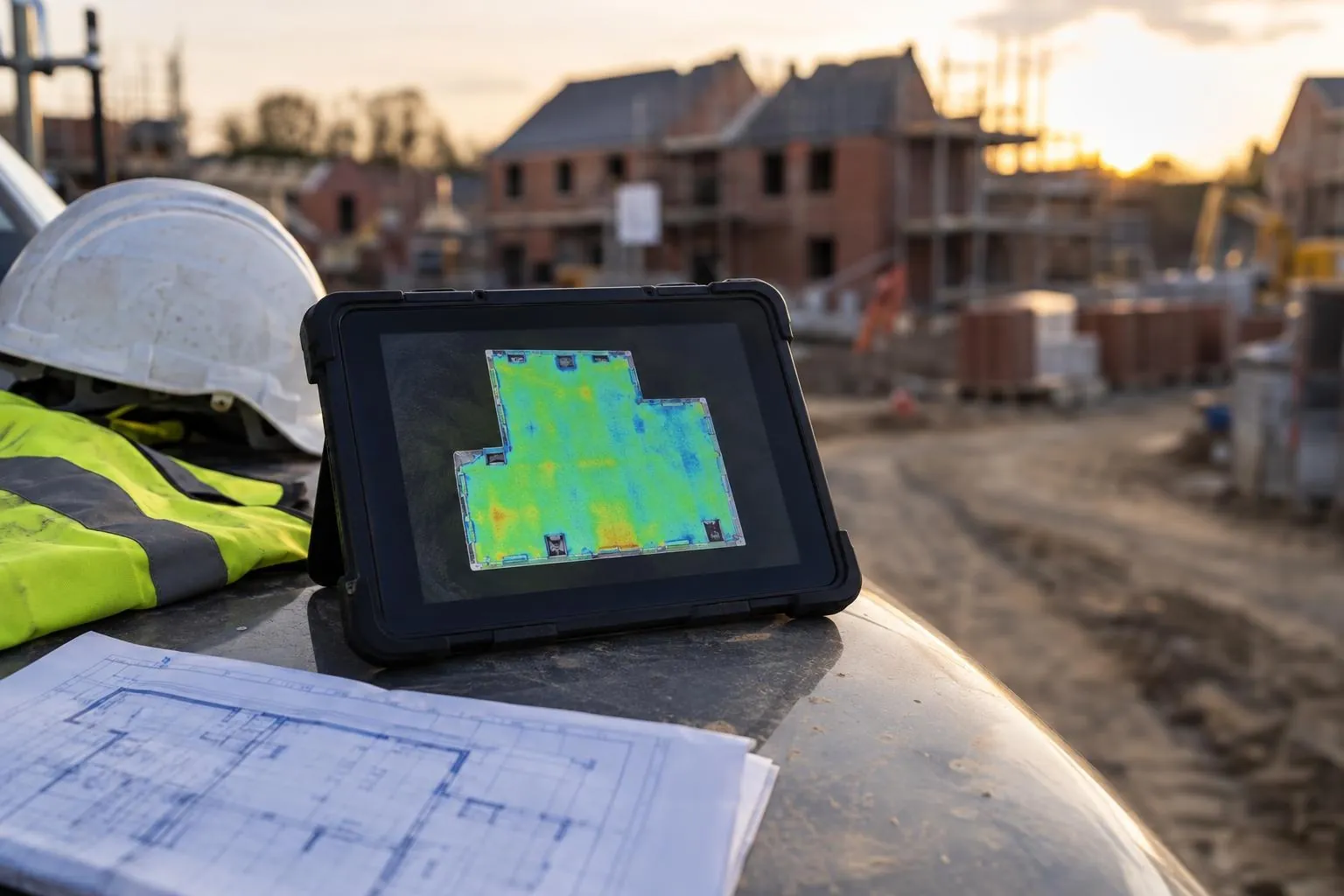
| QC report with pass/fail and heat-maps | Road scans, tarmac depth surveys, plot checks | |
| Cross sections and thickness maps | PDF, DWG | Road scans, tarmac depth surveys |
| Floor plans and elevations | PDF, DWG | Measured building surveys |
| Levels plan with contours | PDF, DWG | Garden scans |
| Registered point cloud | E57, LAS, RCP, PTX | Every service |
| 360° walkthrough | Web link | Optional on building surveys |
Not sure which service you need? Start with our services or check the prices.
Questions we get asked
How does a laser scanner measure?
It sends out pulses of eye-safe laser light while rotating, and times how long each one takes to bounce back. Combined with the angle it was fired at, that gives the 3D position of a point. The Trimble X9 does this hundreds of thousands of times a second and also takes calibrated photos to colour the points.
What is a point cloud in laser scanning?
The raw output of a scan: millions of measured 3D points that together form an exact digital copy of the surfaces scanned. It can be viewed, measured and compared in most CAD and survey software.
How are several laser scans joined into one survey?
This is called registration. Overlapping scans are aligned using their shared geometry and, on construction sites, tied to site control so they sit in the site's coordinate system and levels. The leftover misfit between scans is the registration error, and we put it on every report.
What file formats do laser scan surveys come in?
Reports as PDF. Drawings as PDF and DWG. Point clouds as E57, LAS, RCP or PTX, which open in AutoCAD, Revit, Civil 3D, ReCap, CloudCompare and most other packages.
Does weather stop laser scanning?
Heavy rain and standing water do, because water on a surface affects the reading and the data. Light drizzle, cold and wind are usually fine; the X9 is rated IP55 and works from -20 to 50 °C. If the weather is wrong for the check, we rebook at no charge.
How long is laser scan survey data kept?
We keep the scan data and reports for at least six years, and you receive your own copy of the registered point cloud with every service. That means a dimension nobody thought to take, or a question about a layer that is now buried, can be checked later from the original data without another site visit.
What coordinates and levels is a laser scan survey delivered in?
On construction sites, the scans are tied to your site control, so the data sits in the site's own coordinate system and levels and lines up with your design. Measured building and garden surveys are usually delivered on a local grid with relative levels; if you need a garden or site survey on Ordnance Datum, for example for planning, tell us at booking.
Does laser scanner accuracy change with distance?
Yes, points close to the scanner are more accurate. The Trimble X9 is specified at 2.3 mm 3D point accuracy at 10 m and 3.0 mm at 20 m. On roads and slabs we set up often enough that the surface being checked stays within a comfortable distance, and every report states the registration error so you can see how tight the finished data is.
Can Dimensure use survey data from another surveyor?
Yes. We can process a scan, drone survey or total station and GPS levels collected by your own engineer or another surveyor and report it against design. We check the data's registration, control and coverage first, and every report states what the data supports and who collected it.
Book a scan or ask a question
Send the drawing, the location and when you need it. We reply the same working day with a fixed price.