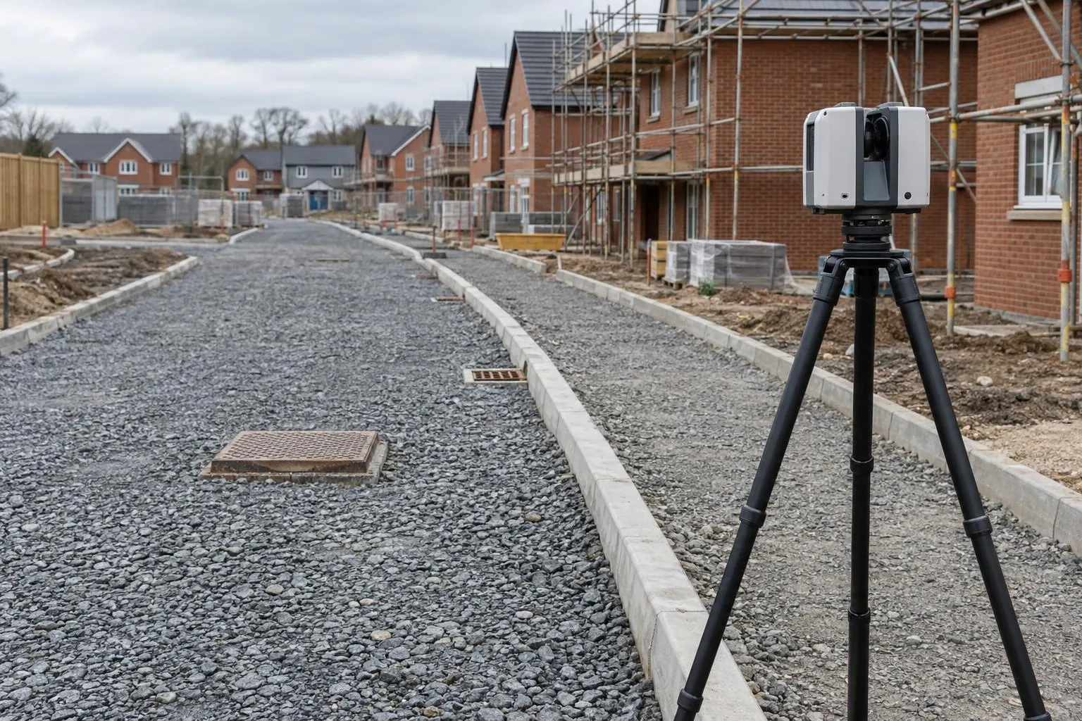
Road & sub-base level surveys
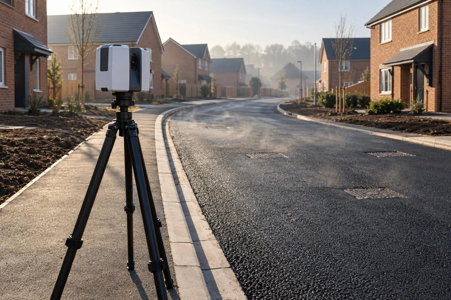
Sub-base and binder checked against the road design before the next layer goes on.
Topographical surveys
An accurate plan of the land before anyone designs on it. We laser scan the plot or site, draw the levels, contours, boundaries, buildings and trees your architect or engineer needs, and give you the full 3D scan as well.
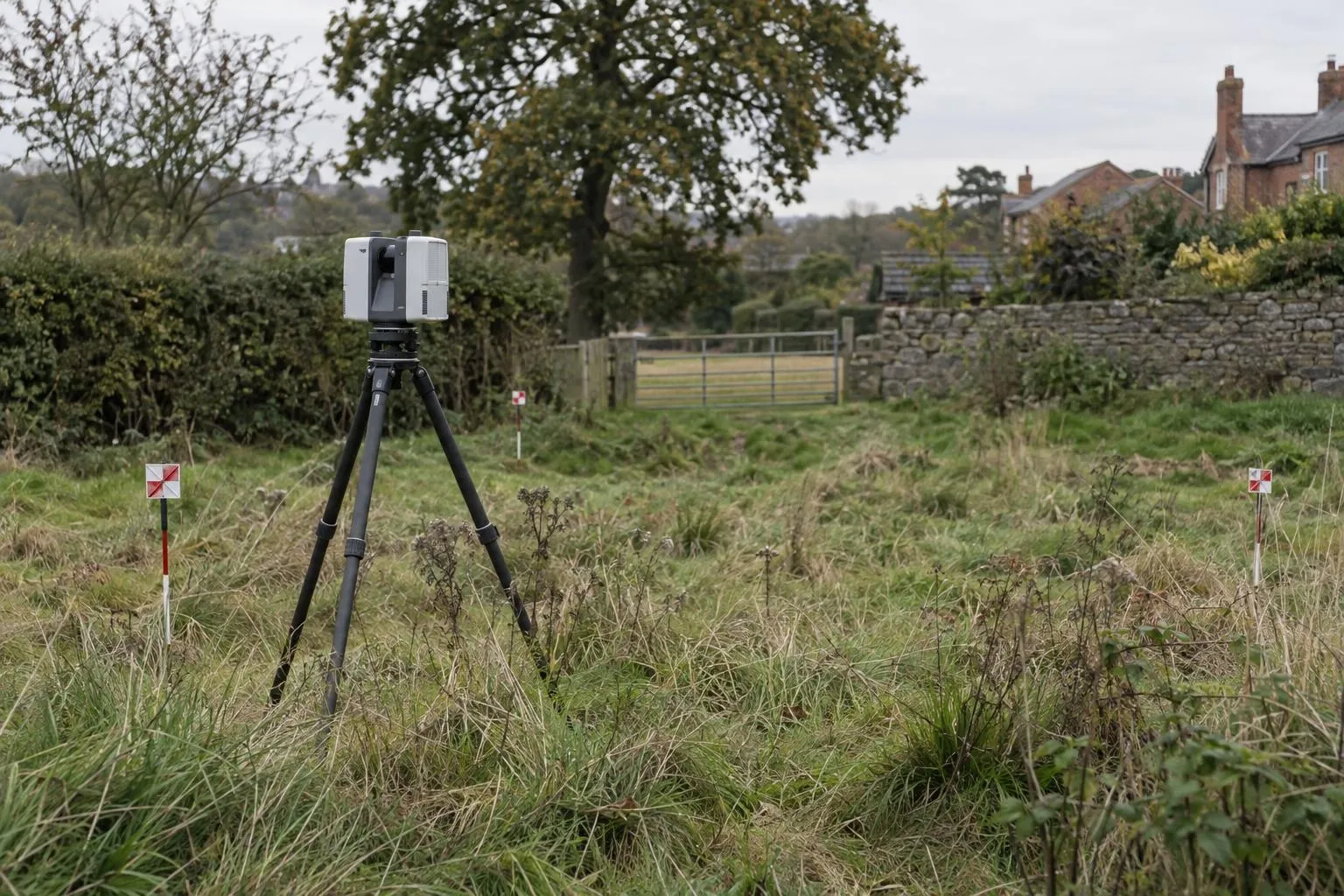
In short: a topographical survey is a scaled plan of a site's levels and features, used to design buildings, extensions, roads and drainage. We produce it from a 3D laser scan, so you get the drawn plan in PDF and DWG and a point cloud of the whole site that can be measured again later.
A traditional topo survey is only as good as the points someone chose to pick up on the day. If the architect later asks for the height of a neighbour's window or the level at the back of a wall, it's another visit. With a laser scan, everything the scanner saw is in the point cloud. Missing levels are measured from the data in the office, not by going back.
It also shows the ground as it really is between points, which is where drainage falls, retaining wall heights and excavation volumes are won or lost.
Planning drawings often need to show a new building against the houses either side. The scanner captures elevations, window positions and roof heights of neighbouring buildings from the site, as far as they're visible, without anyone needing access to next door.
Just a domestic garden for a landscape design? A garden survey covers the same ground for less.
A location plan or postcode, the area to survey and what the survey is for. Your architect's brief is ideal.
We confirm the price, the datum and the deliverables before booking.
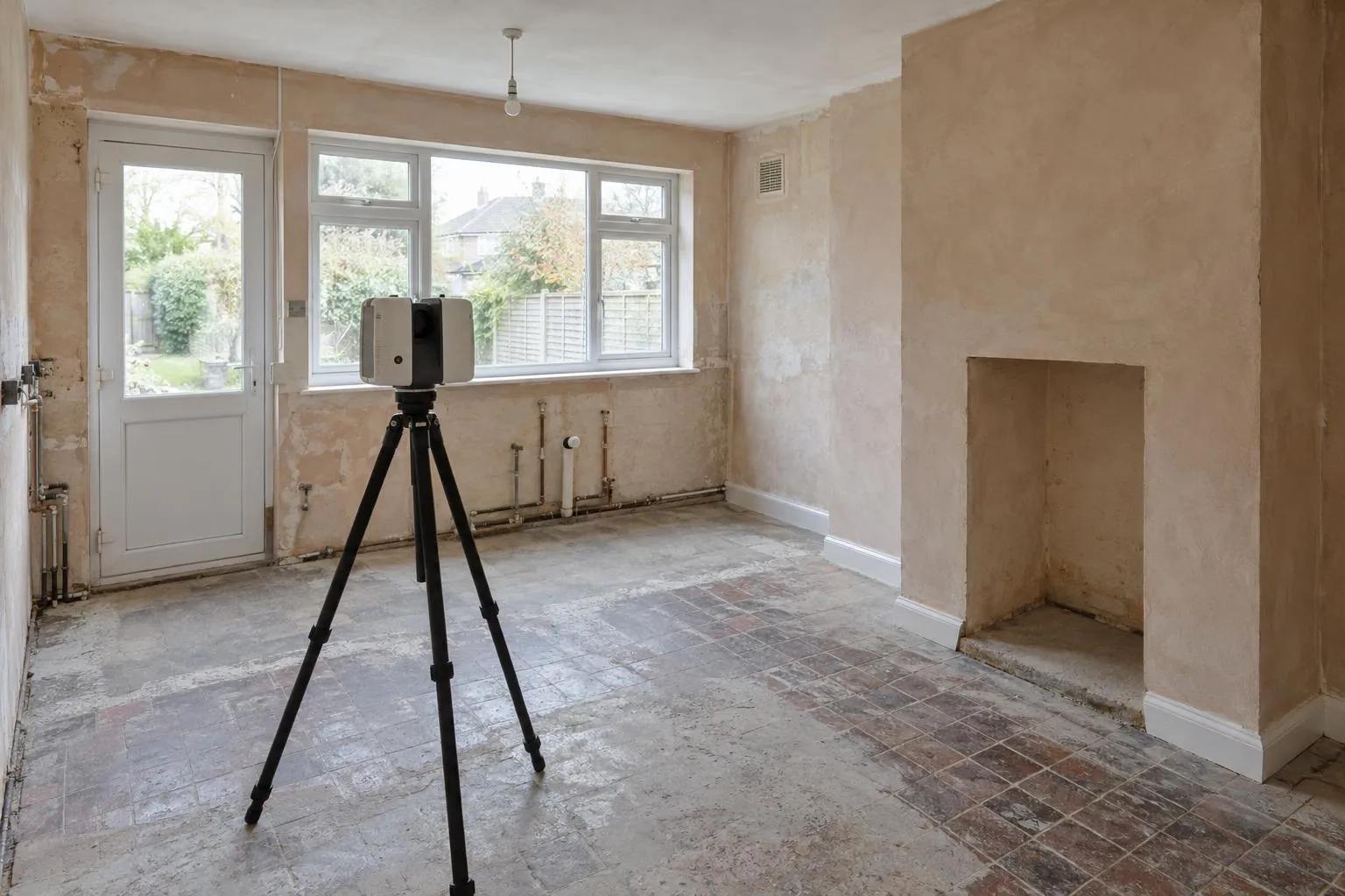
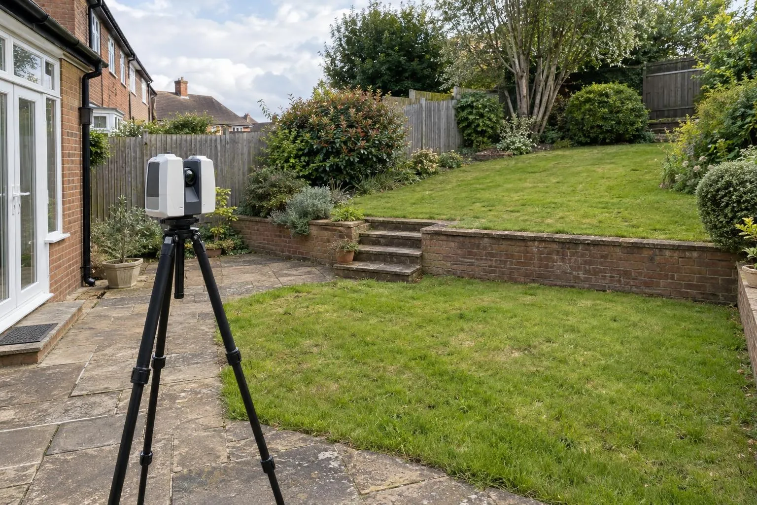
We scan the site from as many set-ups as it needs to see around buildings, walls and planting.
Scaled plan in PDF and DWG, checked by our team, with the registered point cloud.
We survey what can be seen. Buried pipes and cables need a utility or CCTV drainage survey, and tree condition and root protection areas need an arboricultural (BS 5837) survey. Legal boundaries are not the same as the physical fences and walls we measure; if ownership is in question, that's for a solicitor or a boundary specialist. Our plan gives each of them an accurate base to work on.
Already have a drone or scan survey of the site? We can draw the plan from your data instead. See reporting from your survey data.
See the topographical survey cost guide for prices.
Sub-base and binder checked against the road design before the next layer goes on.
Before-and-after scans that map the thickness actually laid, across the whole road.
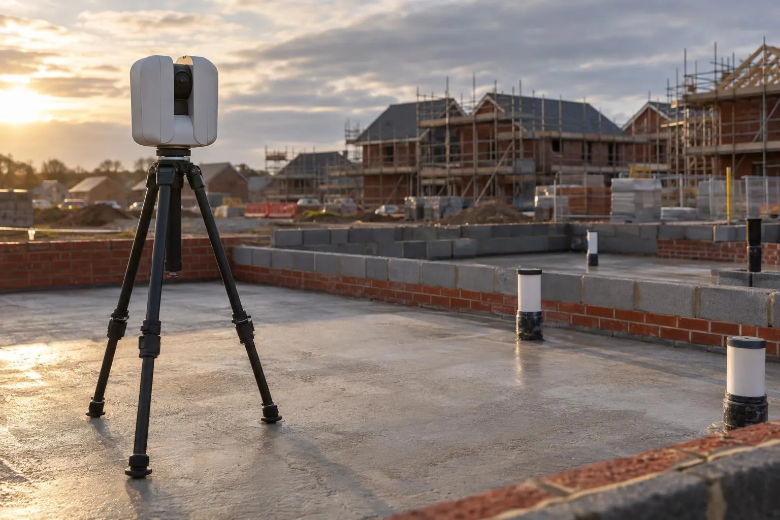
Slab flatness, brickwork to drawing and drain collar positions, checked plot by plot.
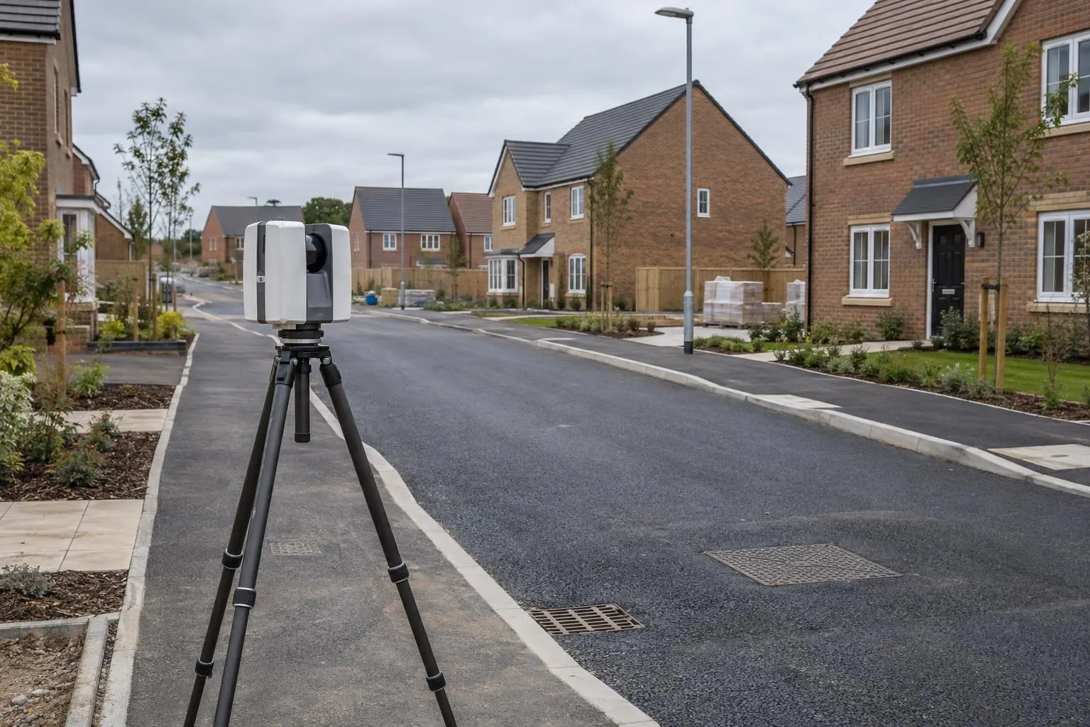
Finished roads, kerbs, drainage covers and plots recorded, with as-built drawings in DWG and PDF.
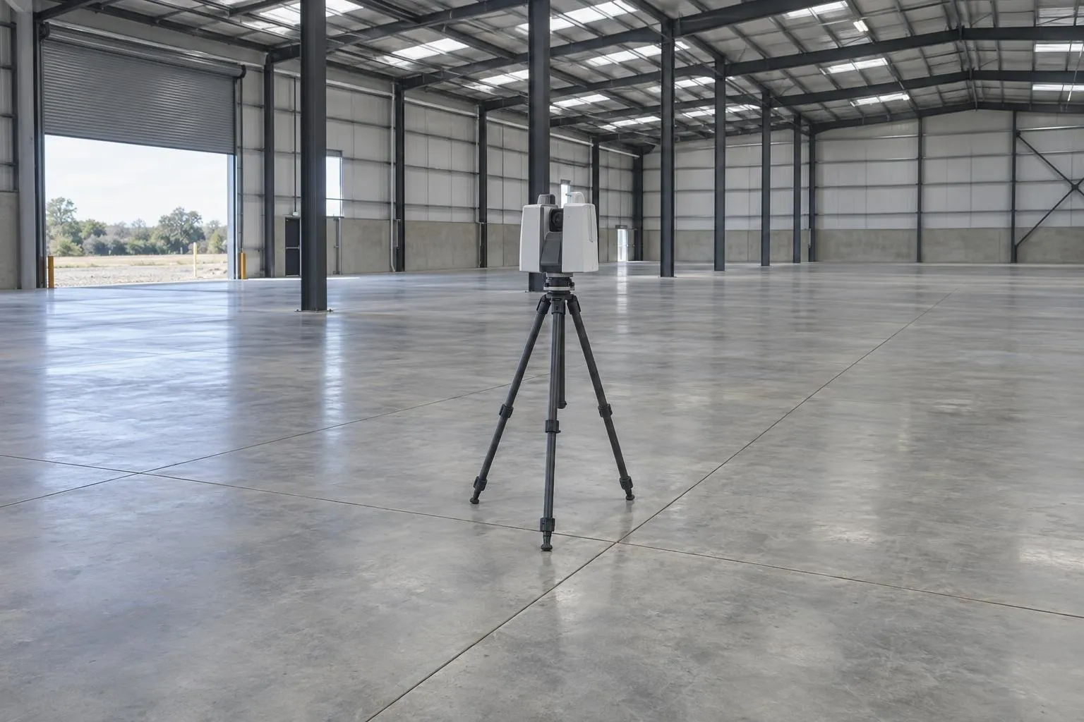
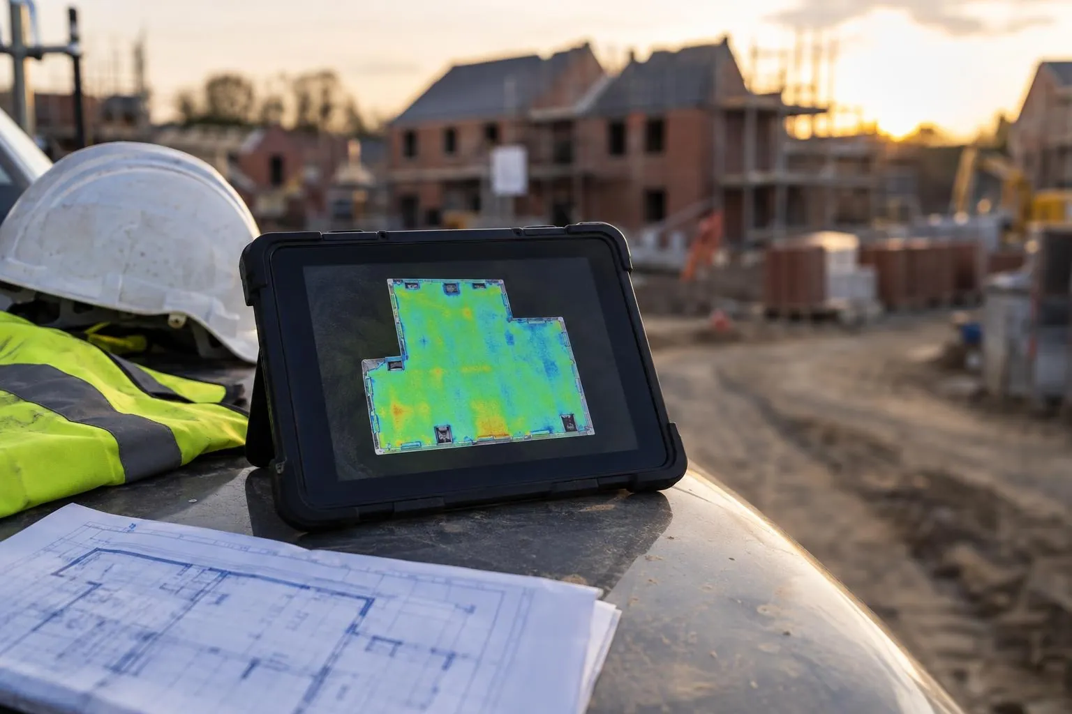
Slabs and screeds scanned edge to edge and checked against SR1-SR3 or your flatness class.
Millimetre-accurate floor plans and elevations for kitchens, extensions and architects.
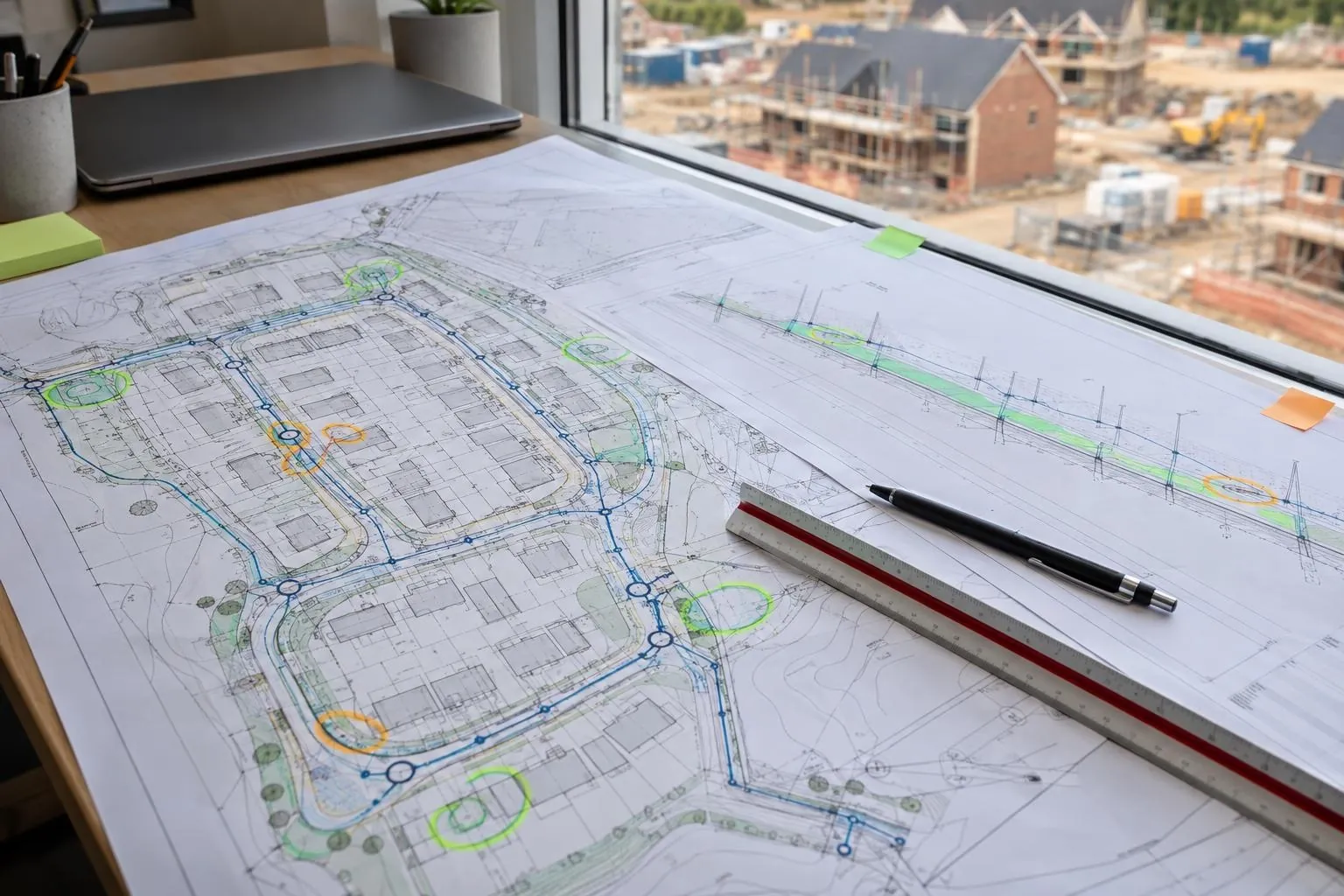
Groundworks and civils drawings reviewed before you dig, on any project: problems found on paper.
Levels, walls, steps, trees and drains surveyed for garden designers, landscapers and homeowners.
Already have a scan or your engineer's levels? We process your data and report against design, no visit needed.
A measured survey of a piece of land showing its shape and everything on it: ground levels and contours, boundaries, buildings, trees, walls, paths, roads and drainage covers. Architects and engineers design from it, and most planning applications for new buildings or extensions on sloping or awkward sites need one.
Often, yes. Councils ask for accurate existing site plans and levels on many applications, and architects need them to show how a new building sits against its neighbours and the ground. If your architect or planning consultant has asked for a topo survey, this is it. If you're unsure, ask them what level of detail and which datum they need, or send us their brief.
A scaled plan in PDF and DWG with spot levels, contours, boundaries, buildings (with eaves and ridge heights where visible), trees with spread and approximate height, walls, kerbs, surfaces, and manhole and gully covers with cover levels. You also get the registered point cloud, so anything not drawn can still be measured later without another visit.
It is usually more complete. A traditional topographical survey records individual points chosen on site and joins them up. A laser scan records millions of points over everything the scanner can see, and the plan is drawn from that. Our Trimble X9 is specified at 2.3 mm 3D point accuracy at 10 m; the accuracy of the finished survey also depends on control and registration, which we state on every survey.
Levels and coordinates are on a local site grid as standard, which is what most extension and garden designs need. If your architect or engineer needs Ordnance Survey National Grid coordinates and Ordnance Datum levels, tell us when you ask for a price and we'll confirm how we tie the survey in and what it adds.
It shows what is visible on the surface: manhole and gully covers with cover levels, valve and meter covers, and overhead lines. Buried pipes and cables need a utility or drainage survey (PAS 128 utility detection or CCTV), which a specialist can add to our plan.
Most small sites and plots are surveyed in one visit, and the drawn plan follows in three to five working days. Larger sites are programmed and priced individually.
Send the drawing, the location and when you need it. We reply the same working day with a fixed price.