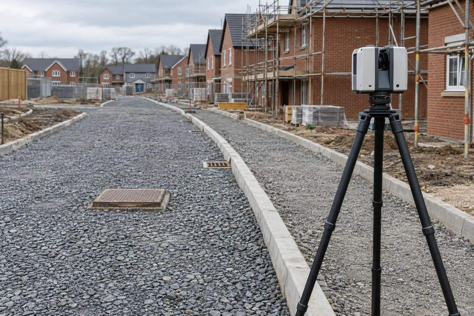
Road & sub-base level surveys
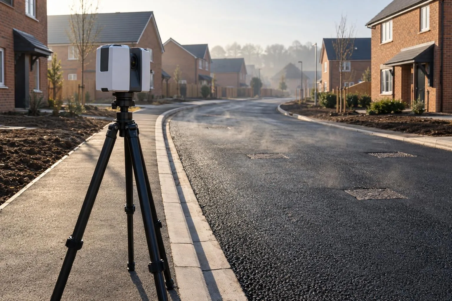
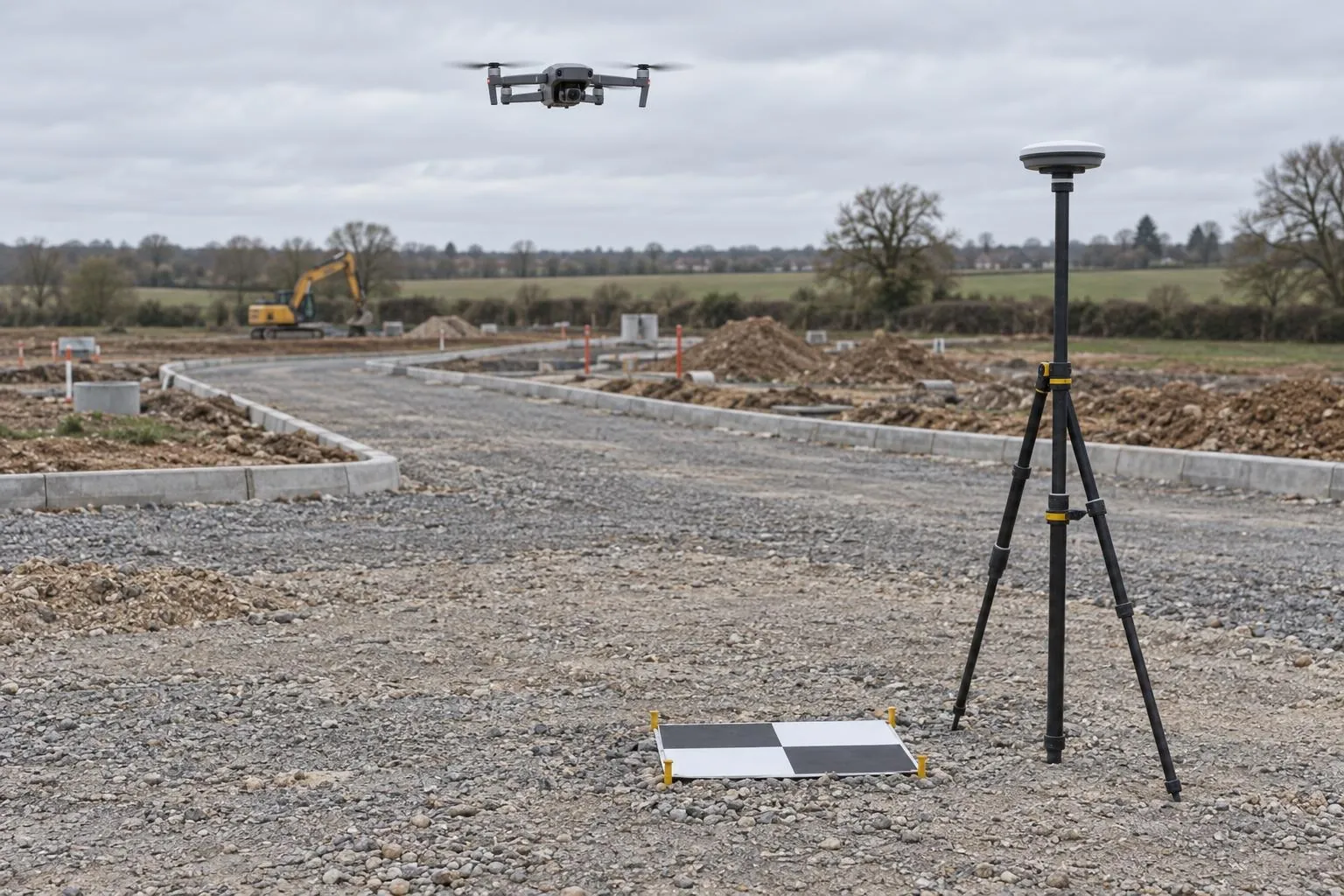
Sub-base and binder checked against the road design before the next layer goes on.
As-laid service surveys
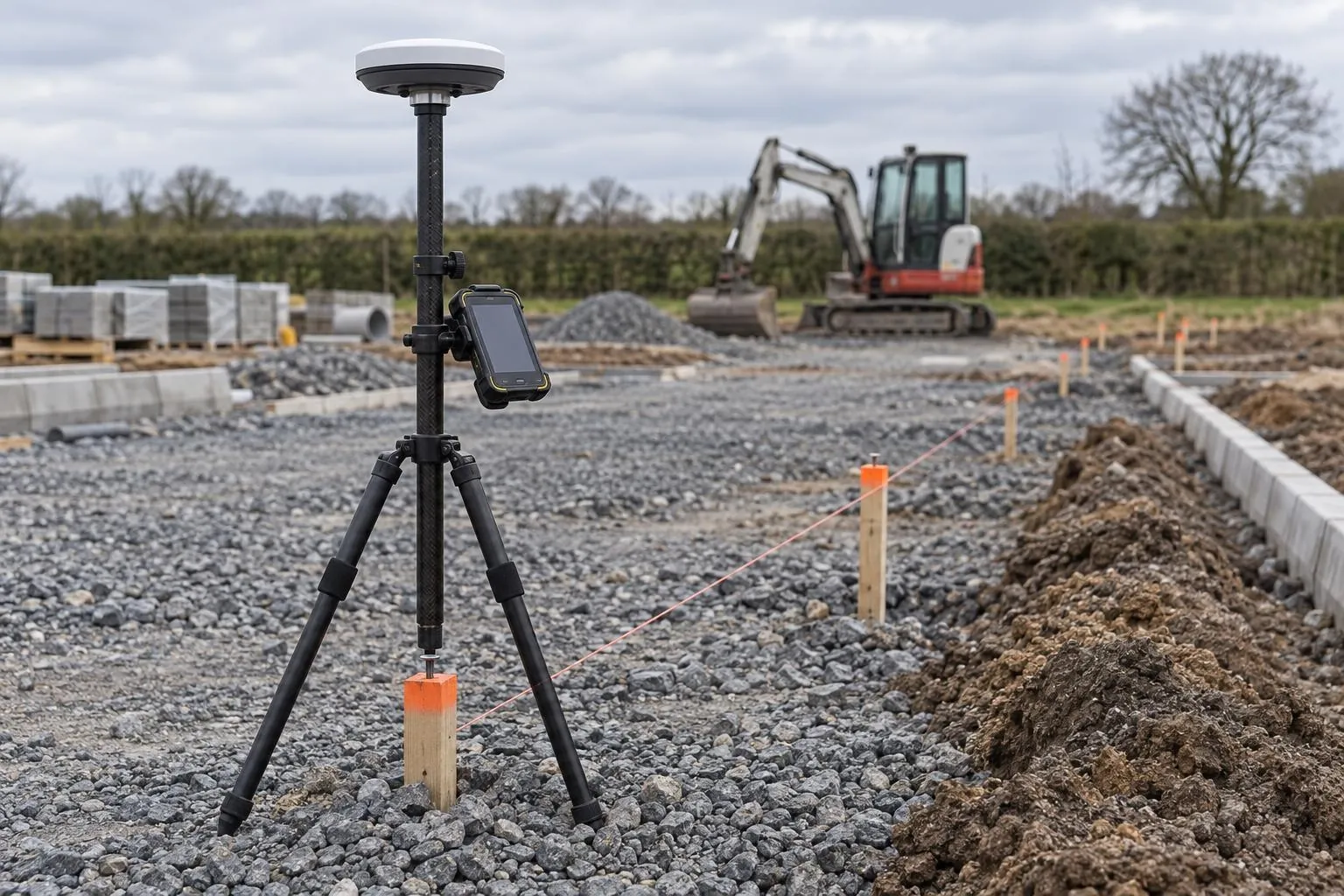
Record it while you can still see it. We survey pipes, chambers and ducts in the open trench with an RTK GNSS rover and photos, then give you an as-laid drawing and data you can hand to the adopting authority, the client or the next contractor.
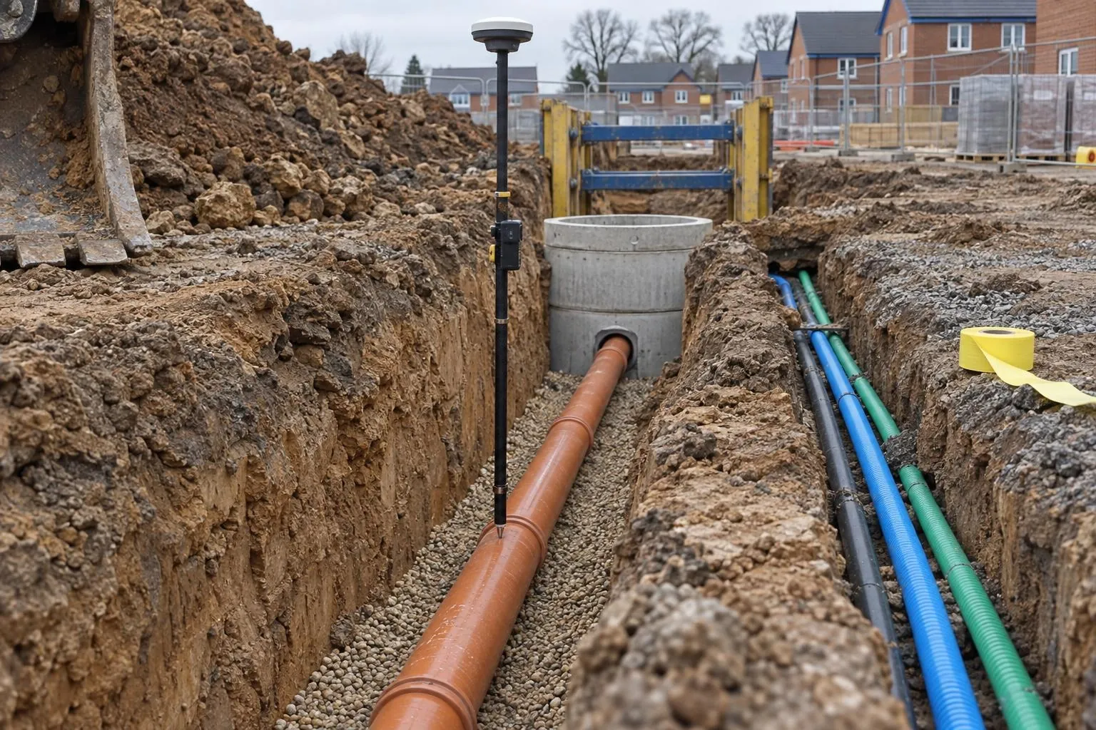
In short: an as-laid survey records the exact position and level of pipes, chambers and ducts while the trench is still open. We measure them with an RTK GNSS rover, photograph each section and deliver an as-laid drawing in DWG and PDF with a CSV of every point, usually within two working days.
Drainage and ducts are where as-built drawings are least reliable. Runs get moved on site to miss a service or a tree root, depths change, laterals go in where the plot drainage actually came out. Months later, someone redraws the design and calls it the as-built. Then the adoption inspection, a blocked lateral or a new connection finds the truth.
A measured record taken in the open trench, with photos, removes the guesswork. It also protects the groundworker: if a level or a fall is ever questioned, there's a dated record of what was laid.
Because the levels are recorded as the pipe goes in, we can flag a run that's flatter or steeper than the design, or a backfall, the same day, while it's still cheap to put right.
Need the finished roads, covers and plots recorded at handover as well? See as-built surveys.
The drainage or services layout and the site control, so the record lines up with your design.
We agree how you'll tell us a run is ready and book visits around the drainage gang.
Positions, levels and photos taken while the gang carries on further along.
DWG, PDF and CSV within two working days, with any fall or position issues flagged straight away.
We record what's visible in the open trench. Services already backfilled need tracing by a utility survey, and the inside condition of a pipe needs a CCTV survey. We don't enter trenches that aren't properly supported or battered; recording is done from the surface with the rover pole, so safe trench support is the site's responsibility. Invert levels calculated from crown levels are labelled as calculated.
See the as-laid survey cost guide for prices.
Sub-base and binder checked against the road design before the next layer goes on.
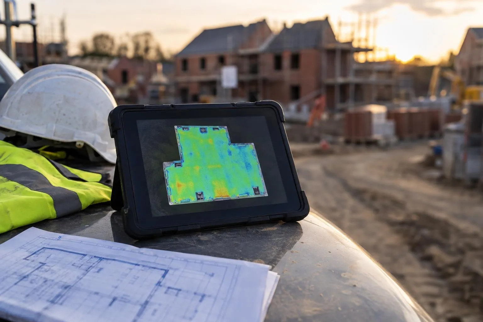
Before-and-after scans that map the thickness actually laid, across the whole road.
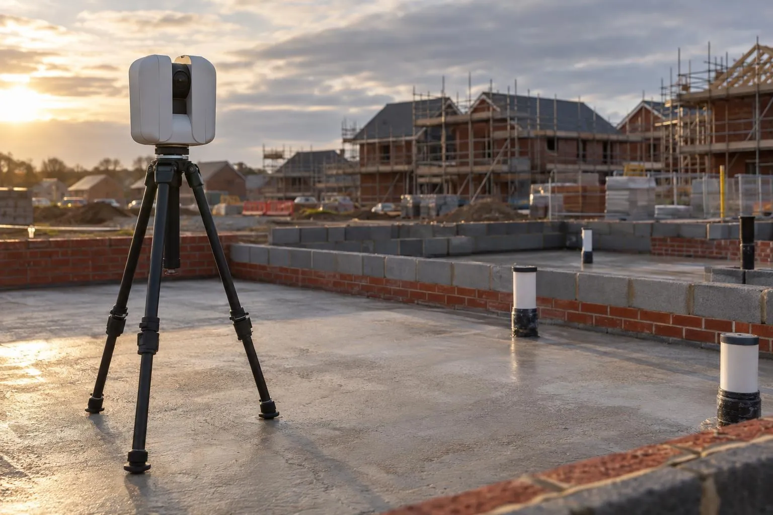
Slab flatness, brickwork to drawing and drain collar positions, checked plot by plot.
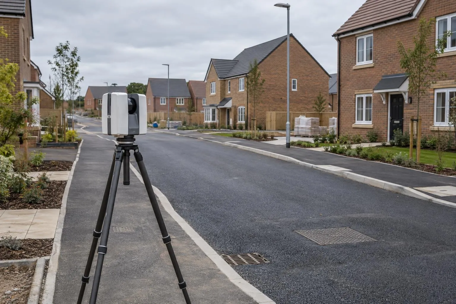
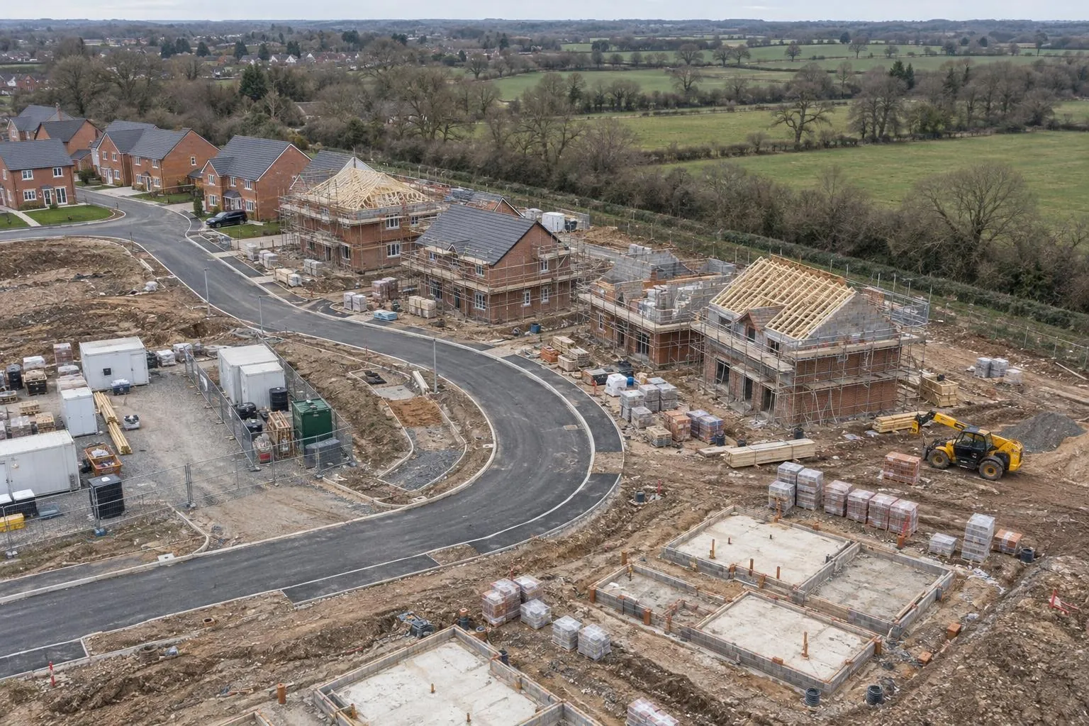
Finished roads, kerbs, drainage covers and plots recorded, with as-built drawings in DWG and PDF.
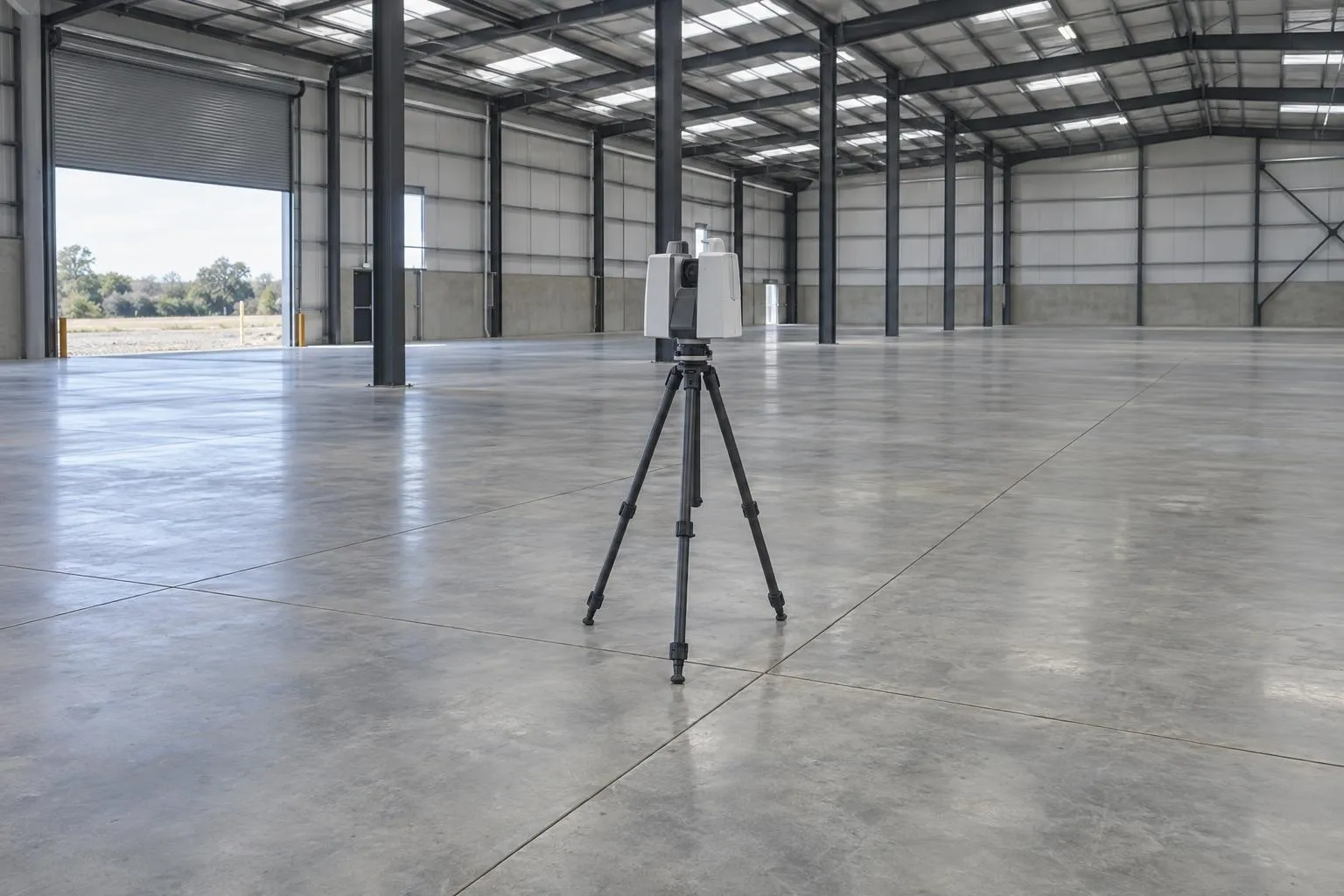
Slabs and screeds scanned edge to edge and checked against SR1-SR3 or your flatness class.
Millimetre-accurate floor plans and elevations for kitchens, extensions and architects.
Levels, contours, boundaries, buildings and trees for planning and design, with the full 3D scan.
Groundworks and civils drawings reviewed before you dig, on any project: problems found on paper.
Levels, walls, steps, trees and drains surveyed for garden designers, landscapers and homeowners.
Aerial mapping tied to RTK GNSS control: scaled orthophotos, levels and contours for whole sites.
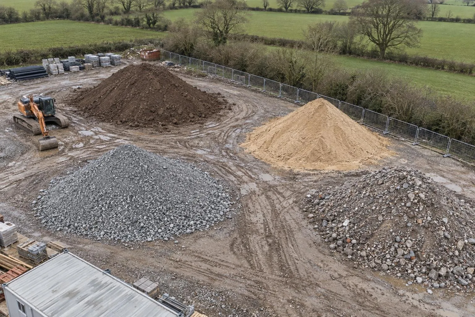
Every heap of stone, topsoil and spoil measured by drone, in cubic metres and tonnes.
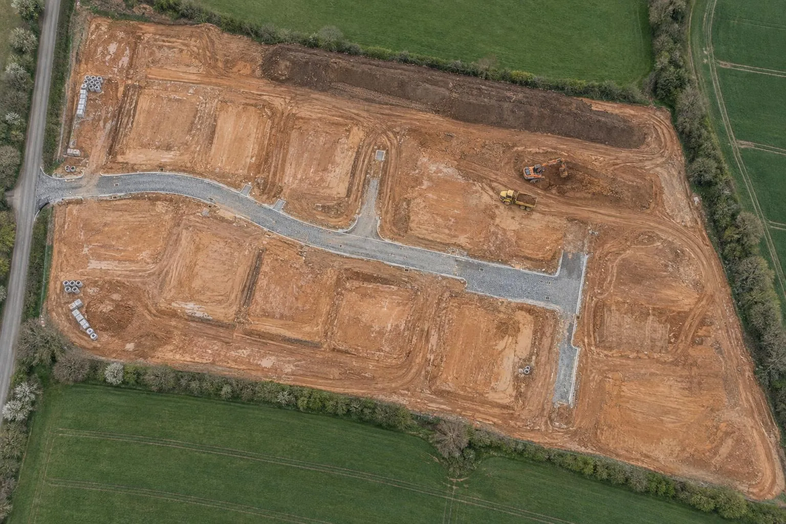
Cut and fill against design or a previous survey, topsoil strip depths and muck-shift checks.
Monthly drone records of the whole site, compared with last month, for valuations and reports.
Site control on Ordnance Survey grid, and pegs for earthworks, drainage, roads and plots.
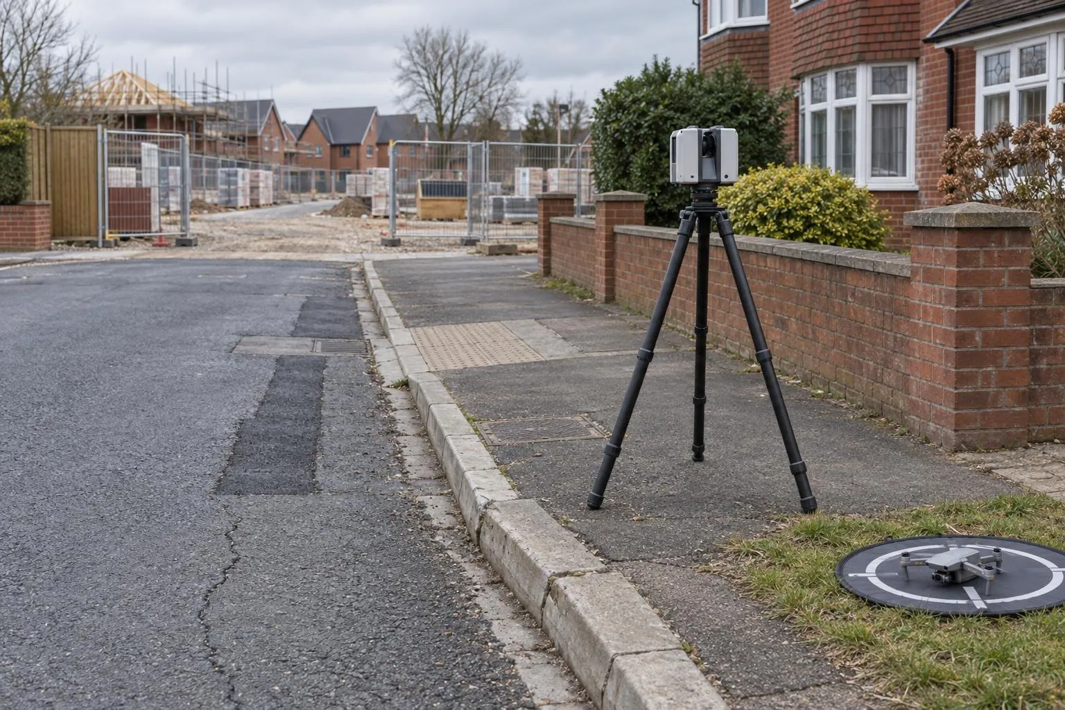
Roads, kerbs, walls and neighbouring buildings recorded by scan, drone and photo before work starts.
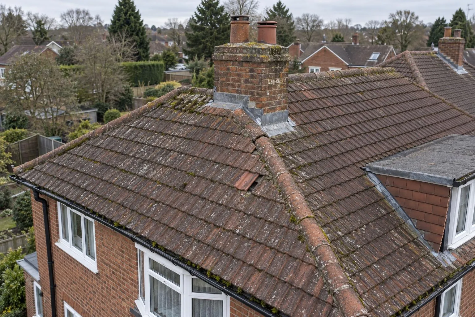
Close-up roof inspections without scaffold, with measured roof areas and pitches if needed.
Already have a scan or your engineer's levels? We process your data and report against design, no visit needed.
A record of exactly where a pipe, duct or cable was laid and at what level, taken while the trench is still open. Once it's backfilled, the only way to know where it really went is to dig it up or trace it, so a survey before backfill is the most reliable record you'll ever have.
Pipe runs and their crown levels at regular intervals, bends, junctions and connections, manhole and chamber positions with cover levels, duct positions and depths, crossings with other services, and geotagged photos of each section. Invert levels are calculated from the crown level and the pipe size and are marked as calculated.
Sewer and highway adoption (Section 104 and Section 38 agreements) need accurate as-built records of drainage. Street works on the highway need records of what was laid and where. Housebuilders and management companies need to know where private drainage and ducts run. And when something goes wrong years later, a measured record with photos saves a lot of digging.
Typically 10 to 20 mm in plan and 20 to 30 mm in level in open sky, checked against site control on every visit. In deep, narrow trenches or close to buildings where the sky is blocked, we transfer levels down from an open point and say so on the record.
That's the point of the service, because trenches can't be left open waiting. We agree a call-out arrangement with the site, and on a regular programme we book visits around the drainage gang's programme. Recording is usually done while the gang carries on further along the run.
No. We record position and level from the surface before backfill. A CCTV survey after completion checks the inside of the pipe for joints, debris and defects, and adopting authorities often ask for both. Our record and a CCTV survey together make a complete adoption pack.
Send the drawing, the location and when you need it. We reply the same working day with a fixed price.