Cost guide
Drone survey cost
What a drone survey costs, what's included, and why the cheapest aerial map isn't always a survey you can build from.
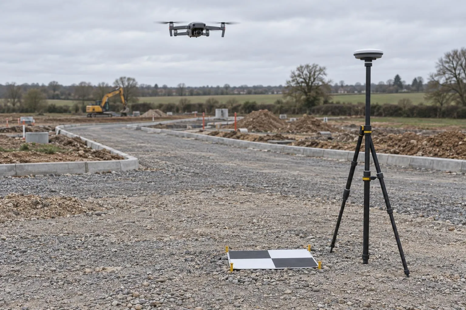
Guide price: a drone survey costs from £450 for a site up to about a hectare (2.5 acres) and from £850 up to about five hectares (12 acres). Every survey includes RTK GNSS ground control, an orthophoto, a surface model, contours and the point cloud. Before VAT, with travel included within 50 miles of Corby.
| Site | Guide price | Typical job |
|---|---|---|
| Up to ~1 hectare (2.5 acres) | from £450 | Paddock, small development plot, yard, farm buildings |
| Up to ~5 hectares (12 acres) | from £850 | Housing phase, field for appraisal, commercial site |
| Larger sites and corridors | quoted | Whole developments, access roads, drainage routes |
| Contours and site plan drawn in DWG | included | At the contour interval you specify |
| Areas under trees filled by GNSS or scan | quoted | Priced from the site plan when cover is heavy |
Guide prices before VAT for accessible sites with open airspace. Sites inside an airport flight restriction zone need permission first; we tell you at the quote stage if that applies.
What drives the price
Area and shape
Flight time and the number of photos grow with area. A compact square site is quicker to fly and control than a long, thin corridor of the same area, which needs more control points along its length.
Accuracy needed
A site plan for an appraisal needs less control than a surface you'll calculate earthworks from. More control and check points mean more time on the ground with the rover, so we agree the accuracy before we quote.
Ground cover
Open ground is quick. Woodland, tall crops and dense hedges hide the ground from the camera, so those areas are levelled with the rover or scanned instead.
What you need drawn
The orthophoto, surface model and contours are standard. Fully drawn features such as kerbs, fences, buildings and covers take more office time and are priced when we quote.
How our prices compare
Published UK guides in 2026 put a small-site drone mapping survey at around £700–£2,500 (Dronedesk's UK drone survey price guide, May 2026), and some providers start drone topographic surveys from £599 for half a hectare (SkyScan Surveys' published pricing, checked October 2026). Our prices sit at or below the lower end and include RTK ground control and Ordnance Survey grid as standard.
Included on every drone survey
- RTK GNSS ground control and check points
- Orthophoto as GeoTIFF and scaled PDF
- Surface model and contours in DWG
- Point cloud in LAS or LAZ
- Ordnance Survey grid and datum, or your site grid
- Stated, checked accuracy
How it works: drone surveys. All services: price guide.
Drone surveys across the area
Questions we get asked
How much does a drone survey cost?
With Dimensure, a drone survey of a site up to about a hectare (2.5 acres) costs from £450, and a site up to about five hectares (12 acres) from £850. That includes ground control fixed by RTK GNSS, the orthophoto, surface model, contours and point cloud. Larger sites and corridor surveys are priced individually. Prices are before VAT, with travel included within 50 miles of Corby.
What is the typical UK price for a drone survey?
Published UK guides in 2026 put a small-site drone mapping survey at around £700 to £2,500, and some providers start drone topographic surveys from about £600 for half a hectare. Ground control, the deliverables and the accuracy required move the price within those ranges.
Why do some drone surveys cost much less?
Because they're flown without ground control. A drone map without measured control points can be visibly right and still be out by a metre or more in position and level. Our price always includes control and check points measured with RTK GNSS, and the checked accuracy is stated on the survey.
Is Ordnance Survey grid included?
Yes. Because our ground control is measured with RTK GNSS, delivering on Ordnance Survey National Grid and Ordnance Datum is included at no extra cost. Tying into an existing site grid is also included if you give us the control station coordinates.
Book a scan or ask a question
Send the drawing, the location and when you need it. We reply the same working day with a fixed price.