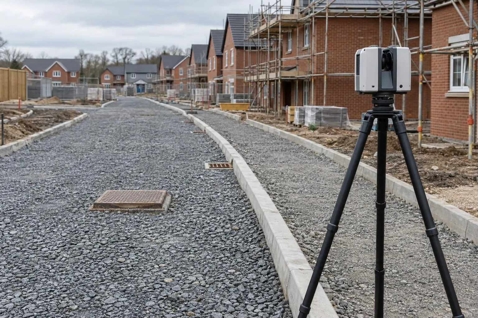
Road & sub-base level surveys
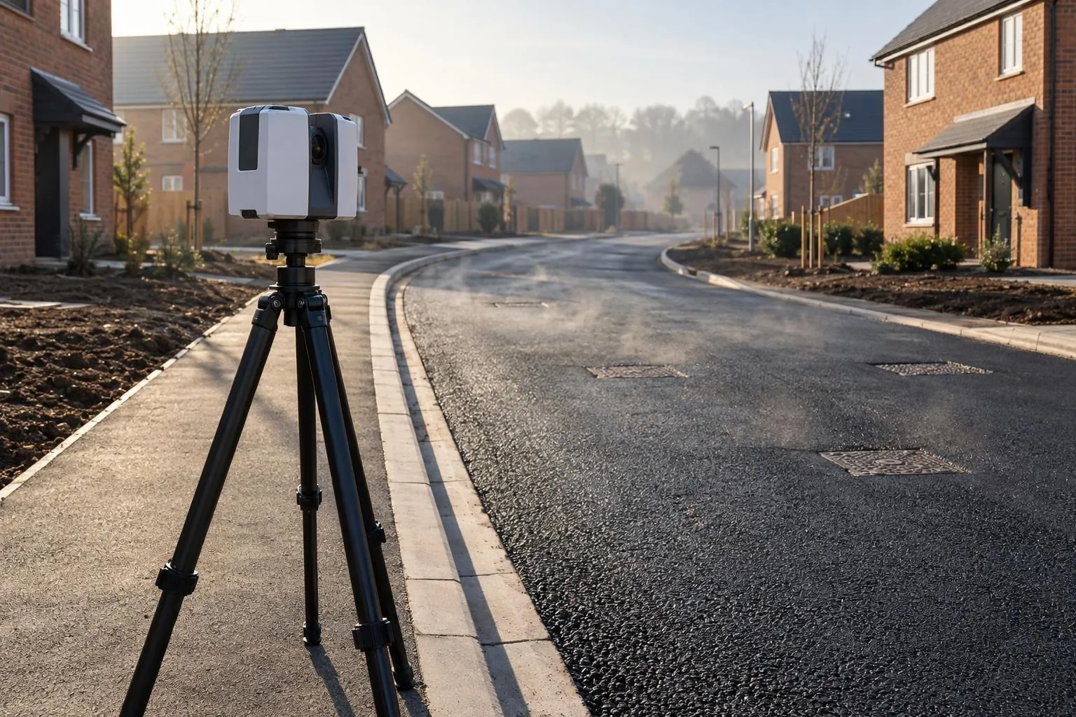
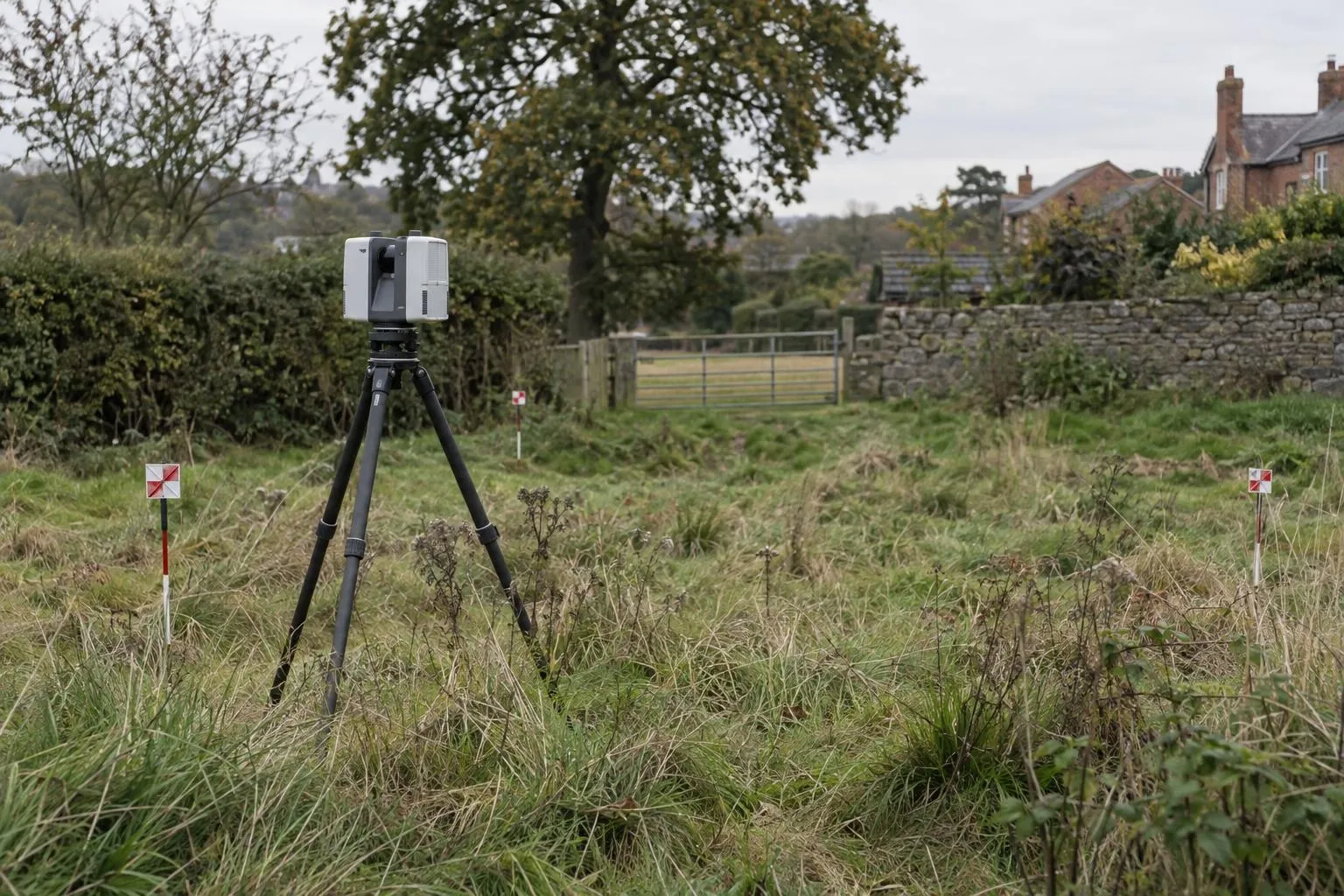
Sub-base and binder checked against the road design before the next layer goes on.
Corby & Kettering
We're based in Corby, so North Northamptonshire is home ground. Road and plot checks on the area's housing sites, and measured surveys for homes, kitchens and gardens, with no travel charge.
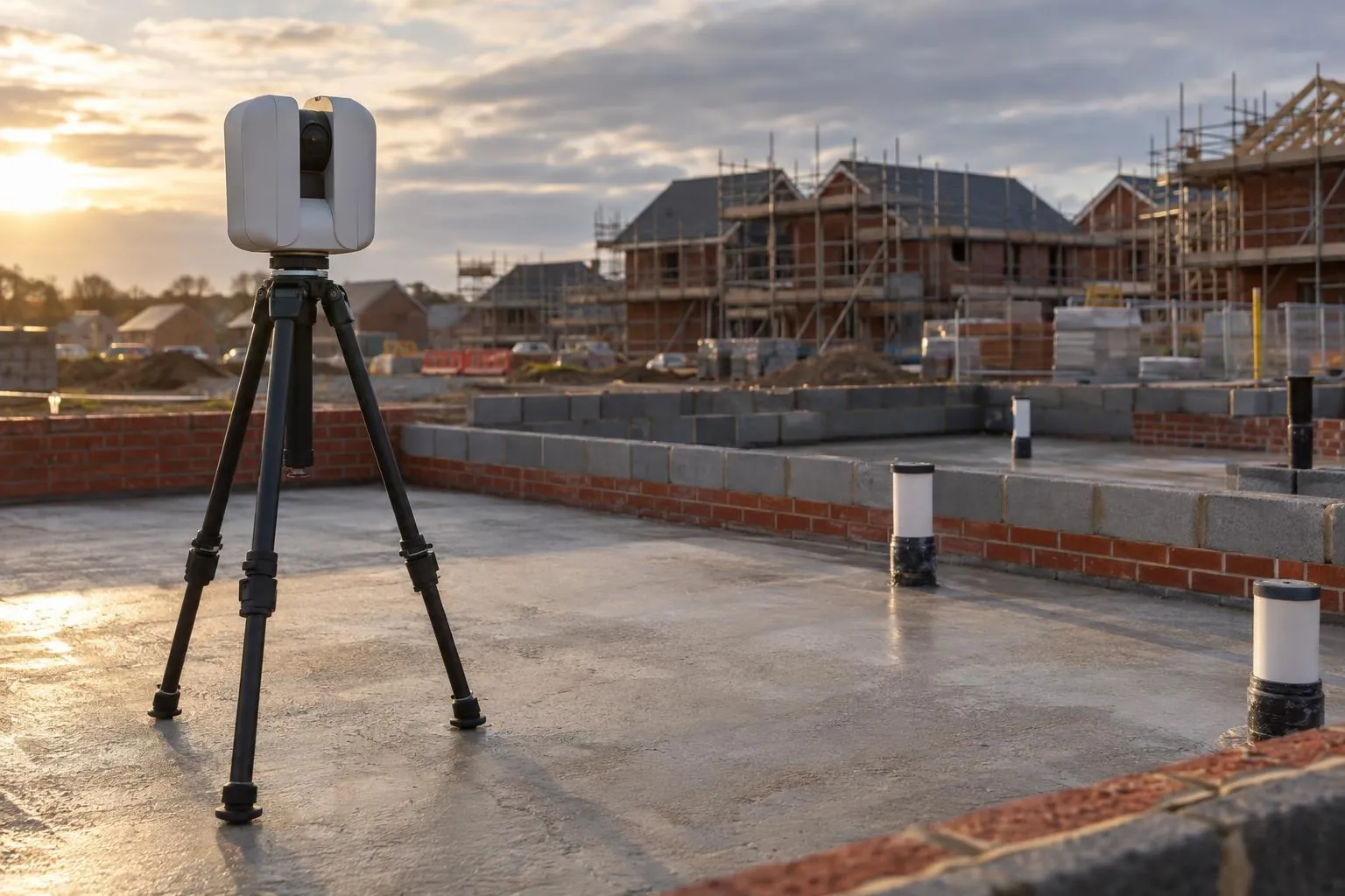
Covering: Corby, Kettering, Wellingborough, Rushden, Desborough, Rothwell, Thrapston, Oundle and the villages in between. Every Dimensure service is available, with no travel charge and short notice where the diary allows.
North Northamptonshire has had some of the region's biggest housing schemes for years, from Priors Hall Park on the edge of Corby to Hanwood Park on the east side of Kettering, alongside a steady run of smaller sites in Wellingborough, Rushden and the market towns. Big schemes mean long programmes of estate roads and hundreds of plots reaching oversite, which is exactly where scanning earns its keep.
Being local makes a practical difference. A ten-minute drive means we can fit a plot check around a pour, come back to rescan a corrected oversite on the same day, or scan a sub-base first thing so the binder crew isn't kept waiting.
The area's housing stock runs from Corby's 1950s and 60s estates and Kettering's Victorian terraces to brand-new homes. Each brings its own surveying headaches: walls that aren't square, floors that step between rooms, gardens built on slopes. A measured building survey or garden scan captures what's really there before anything is designed or ordered.
Building a home on an infill plot in Corby, Kettering or the villages between? A topographical survey gives your architect the levels, boundaries and neighbouring buildings for the planning drawings. The warehouses along the A14 corridor need floors that racking will sit on, and a floor flatness survey checks the slab before it is covered. When a phase of road or plots is finished, an as-built survey records it for handover.
Every service is available locally. Prices are in each cost guide.
Sub-base and binder checked against the road design before the next layer goes on.
Before-and-after scans that map the thickness actually laid, across the whole road.
Slab flatness, brickwork to drawing and drain collar positions, checked plot by plot.
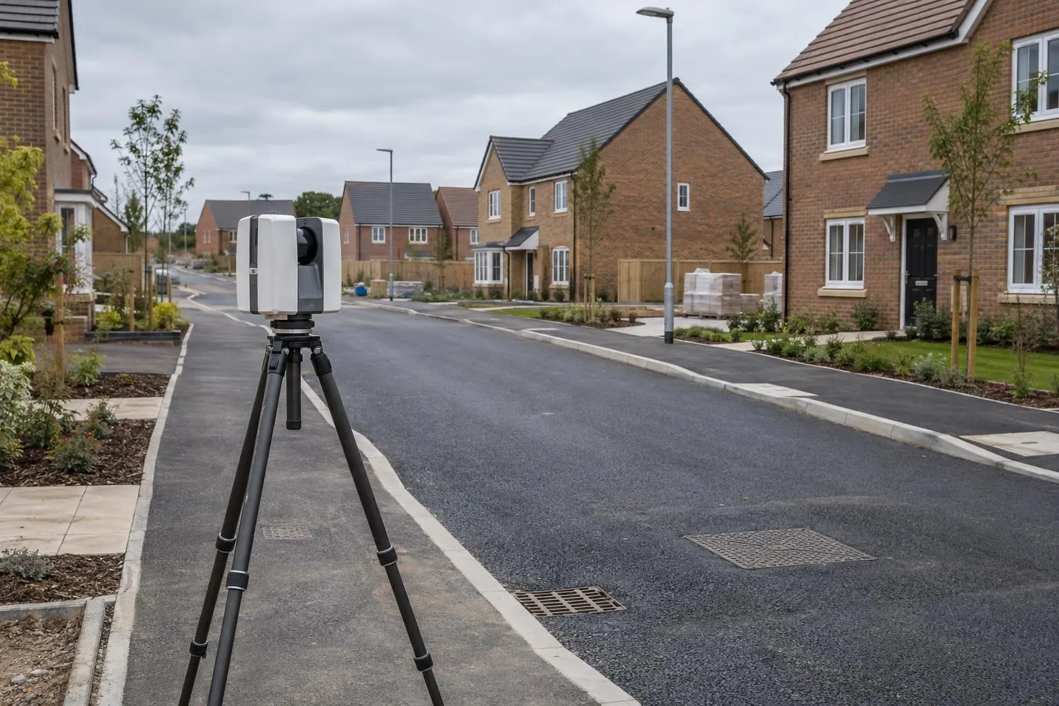
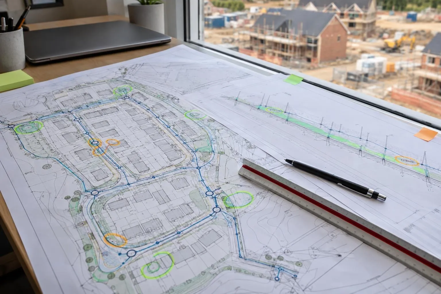
Finished roads, kerbs, drainage covers and plots recorded, with as-built drawings in DWG and PDF.
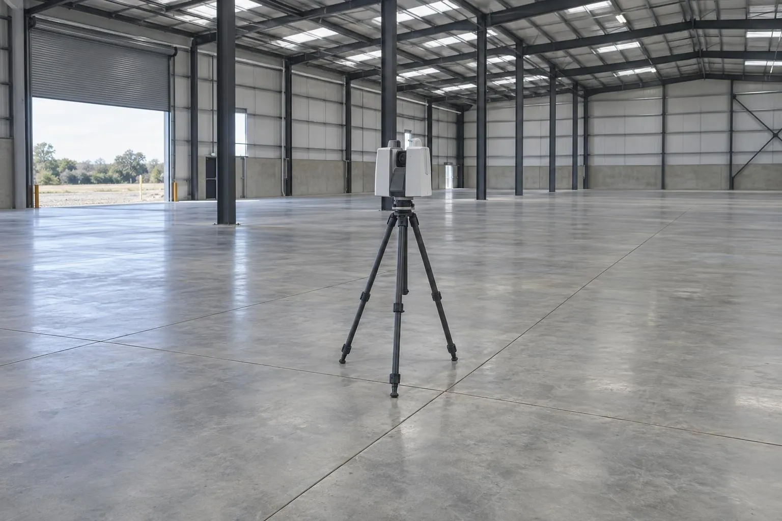
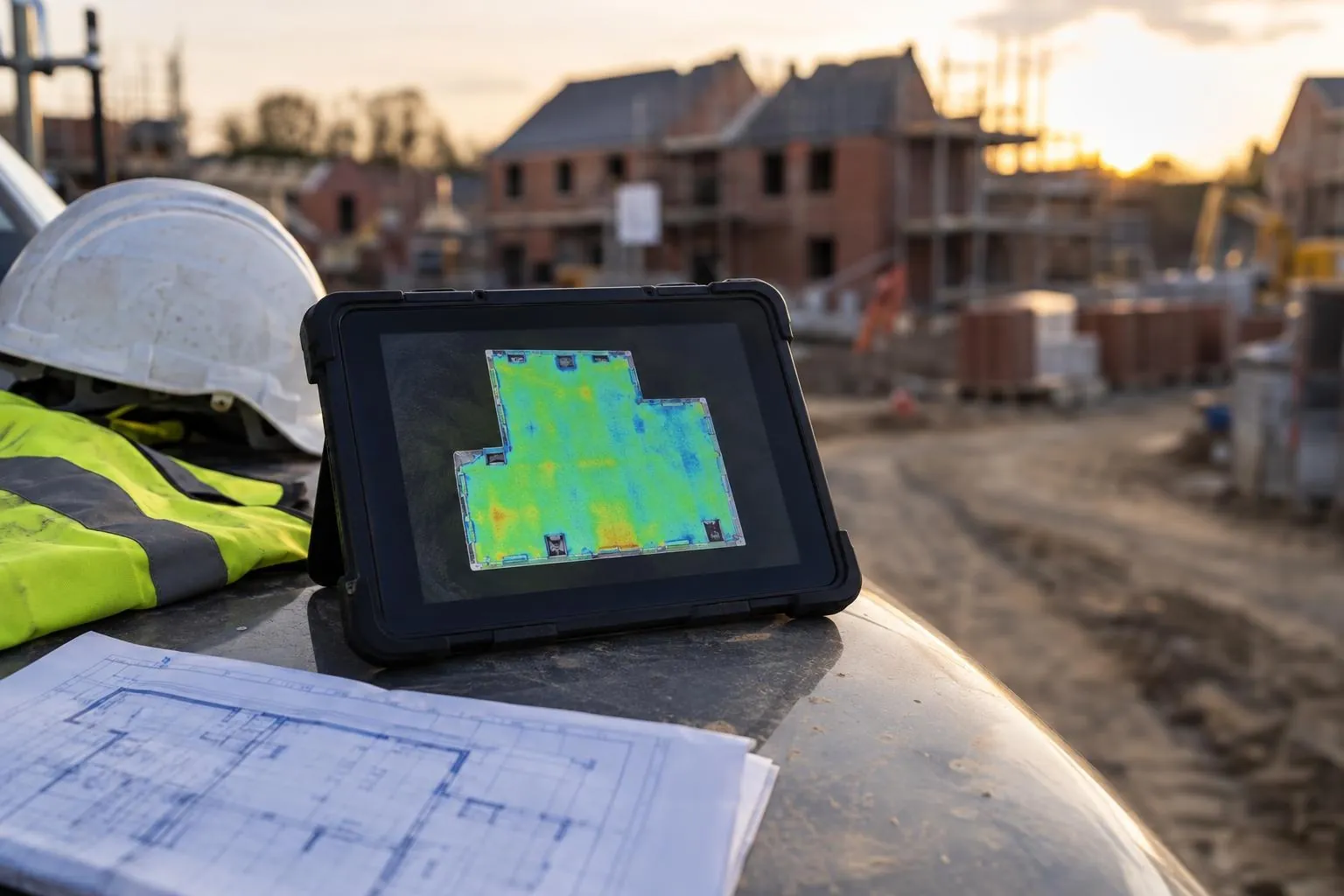
Slabs and screeds scanned edge to edge and checked against SR1-SR3 or your flatness class.
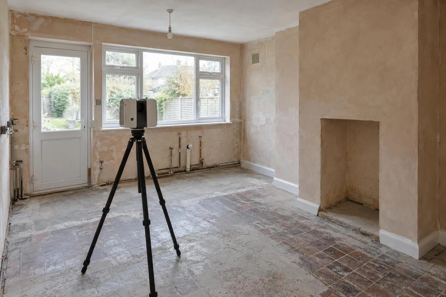
Millimetre-accurate floor plans and elevations for kitchens, extensions and architects.
Levels, contours, boundaries, buildings and trees for planning and design, with the full 3D scan.
Groundworks and civils drawings reviewed before you dig, on any project: problems found on paper.
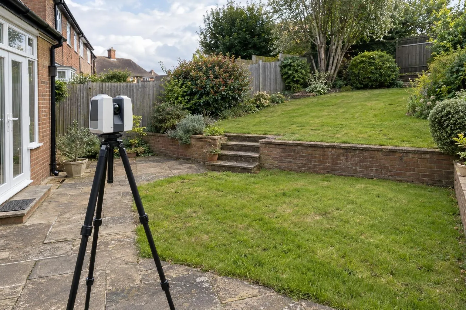
Levels, walls, steps, trees and drains surveyed for garden designers, landscapers and homeowners.
Already have a scan or your engineer's levels? We process your data and report against design, no visit needed.
No. Corby is where we're based, and Kettering, Wellingborough, Rushden, Desborough, Rothwell, Thrapston and Oundle are all well within our standard travel radius.
Often within a day or two, and sometimes the same day for a short plot or road check if the scanner is free. Booking a regular visit means you never wait.
Yes. Measured building surveys for kitchens and extensions, and garden scans for landscape designs, are booked by homeowners and designers across the area.
Send the drawing, the location and when you need it. We reply the same working day with a fixed price.