Road & sub-base level surveys
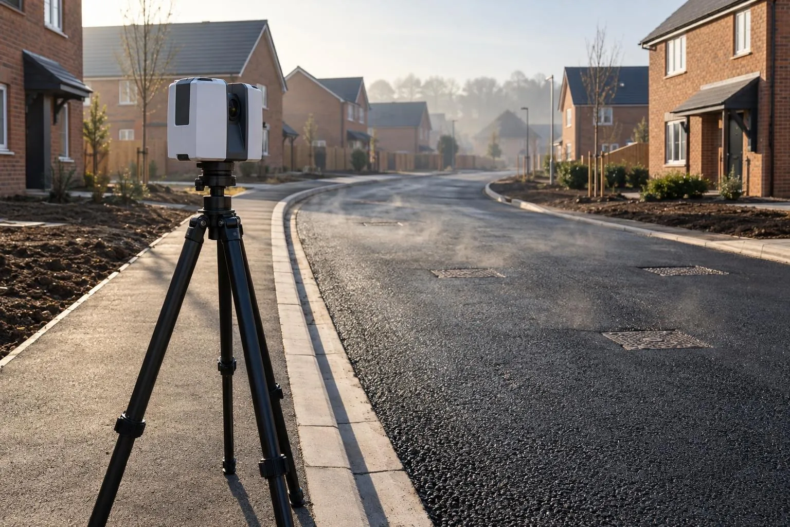
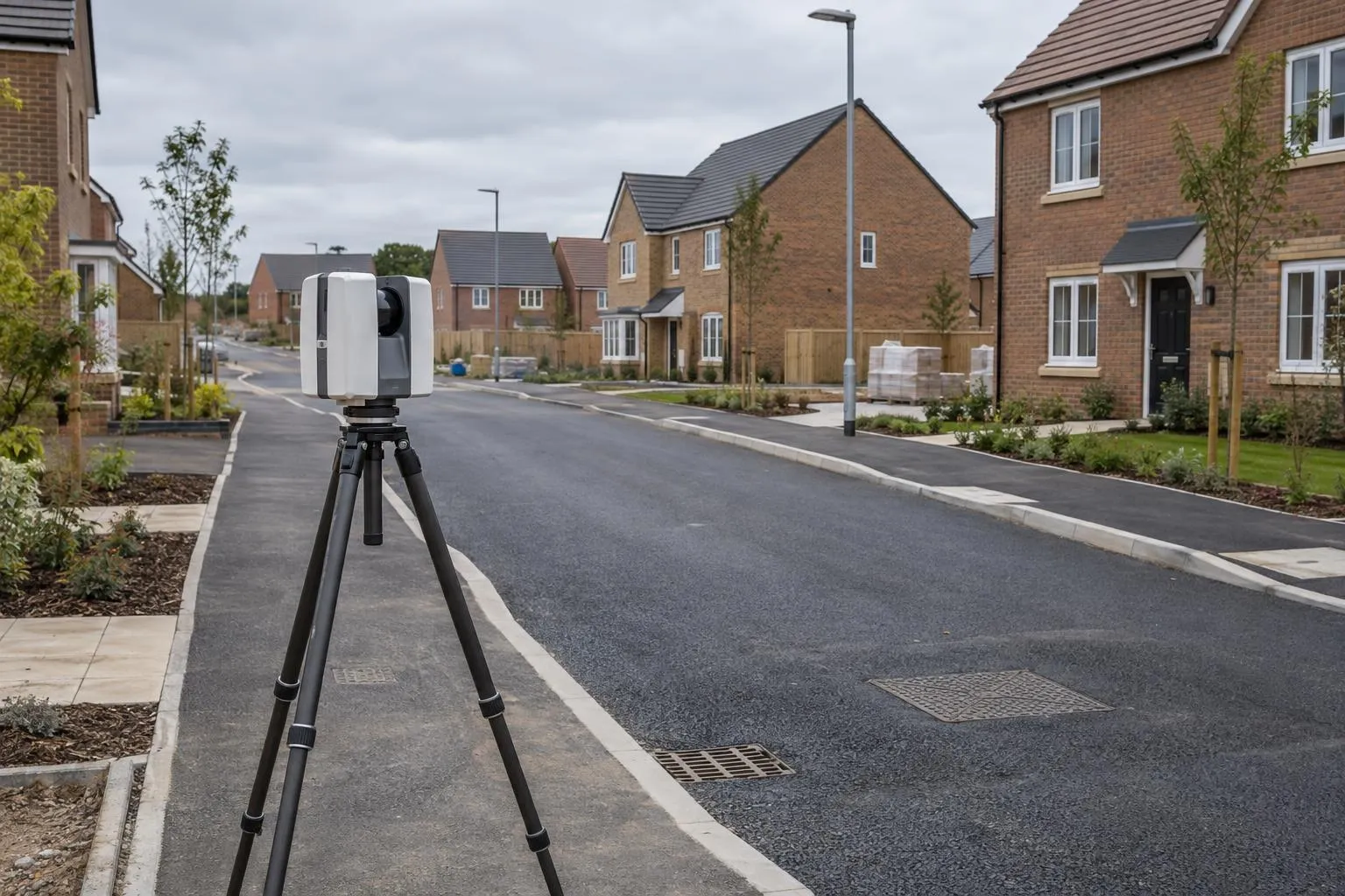
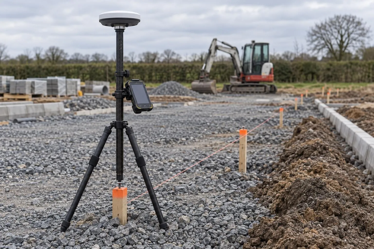
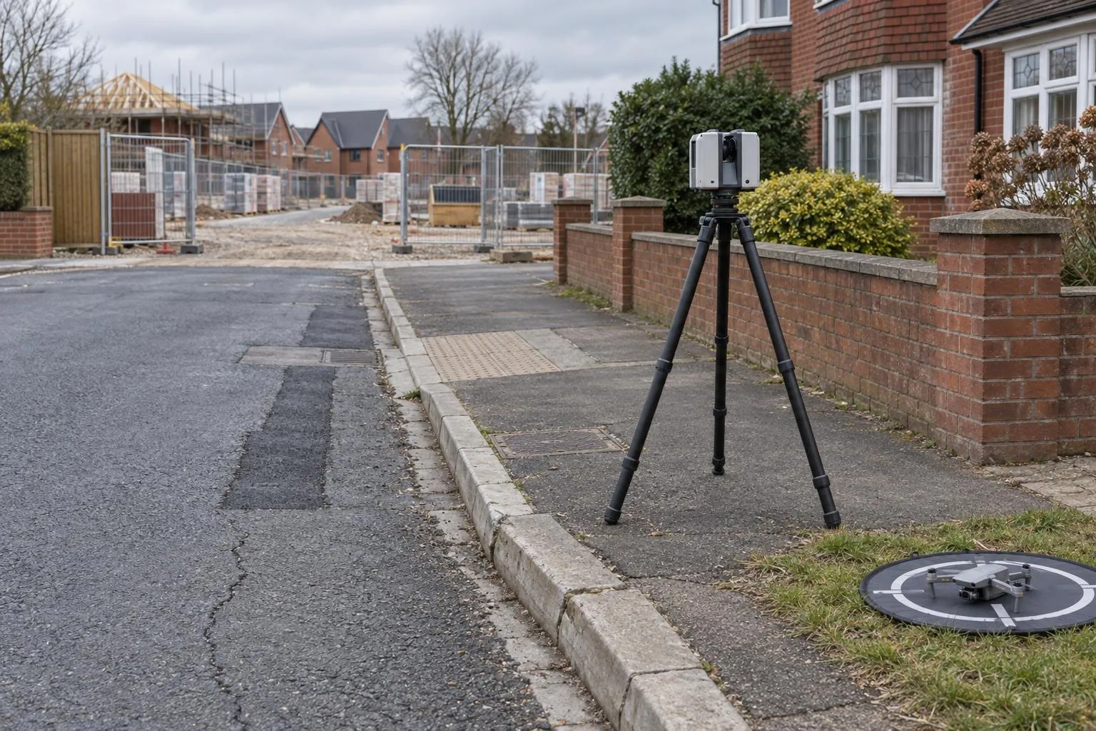
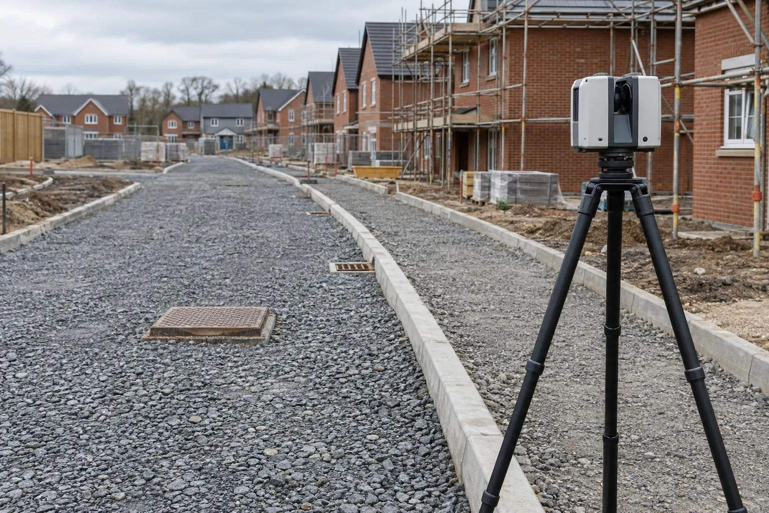
Sub-base and binder checked against the road design before the next layer goes on.
Earthworks volume surveys
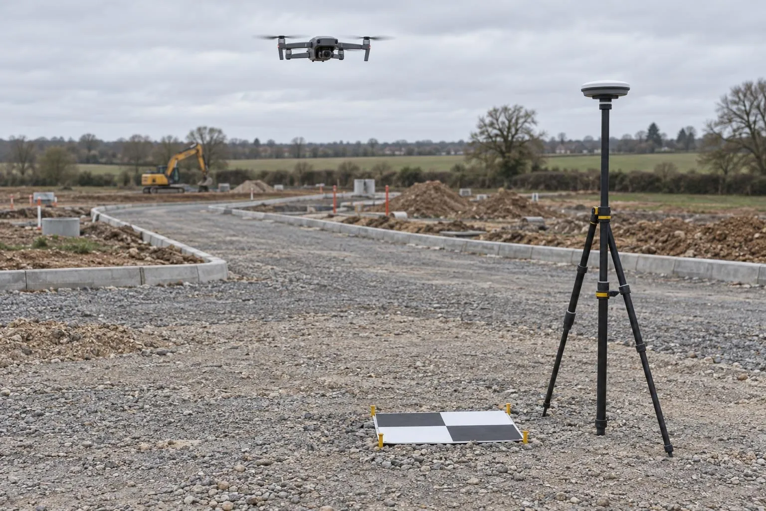
We survey the ground by drone and RTK GNSS, compare it with your design or an earlier survey, and give you cut and fill quantities with a heat-map showing exactly where the ground is high and low.
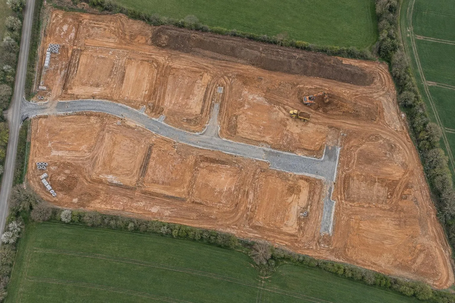
In short: an earthworks volume survey measures the ground surface and compares it with the design or a previous survey to give cut and fill volumes. We use a drone over the whole site and an RTK GNSS rover for control and checks, and report quantities by area with a colour heat-map.
Earthworks quantities built from a handful of levels on a grid are only as good as the points picked up. On a site with humps, hollows and old ground, a 20 m grid can miss thousands of cubic metres. A drone survey measures the whole surface, so every hump and hollow is in the calculation, and the heat-map shows where the volume actually is.
Every surface is fixed to ground control measured with our RTK GNSS rover and checked against points kept out of the processing. When two surveys are compared, the same control is used for both, which is what makes the difference between them reliable.
Dimensure was set up by a groundworks project manager with 12 years on UK housing sites. We know the questions that come up at valuation and when the muck-away bill arrives, and the reports are laid out to answer them, area by area, in the same terms as your bill of quantities.
Just need the volume of individual heaps? See stockpile volume surveys. For millimetre checks on finished sub-base, see road and sub-base level surveys.
The site plan, the design surface or levels, and what the numbers are for: pricing, a strip, a valuation.
Control and check points measured with RTK GNSS on your site grid or Ordnance Survey grid.
The site is flown, and any areas the drone can't see are levelled with the rover.
Surfaces compared, volumes split by area, heat-map and summary issued.
The most useful thing you can do is survey before work starts. A survey of the original ground is the baseline every later volume is measured from, and it can't be recreated once the ground has been moved. Beyond that: the design surface in LandXML or 3D DWG, the areas you want quantities split into, and any layer depths (topsoil, stone, formation) you want allowed for. We report in-place surveyed volumes; bulking and compaction factors stay with your engineer or estimator.
See the earthworks survey cost guide for prices.
Sub-base and binder checked against the road design before the next layer goes on.
Before-and-after scans that map the thickness actually laid, across the whole road.
Slab flatness, brickwork to drawing and drain collar positions, checked plot by plot.
Finished roads, kerbs, drainage covers and plots recorded, with as-built drawings in DWG and PDF.
Slabs and screeds scanned edge to edge and checked against SR1-SR3 or your flatness class.
Millimetre-accurate floor plans and elevations for kitchens, extensions and architects.
Levels, contours, boundaries, buildings and trees for planning and design, with the full 3D scan.
Groundworks and civils drawings reviewed before you dig, on any project: problems found on paper.
Levels, walls, steps, trees and drains surveyed for garden designers, landscapers and homeowners.
Aerial mapping tied to RTK GNSS control: scaled orthophotos, levels and contours for whole sites.
Every heap of stone, topsoil and spoil measured by drone, in cubic metres and tonnes.
Monthly drone records of the whole site, compared with last month, for valuations and reports.
Site control on Ordnance Survey grid, and pegs for earthworks, drainage, roads and plots.
Drainage, chambers and ducts recorded in the open trench, with levels and photos, before backfill.
Roads, kerbs, walls and neighbouring buildings recorded by scan, drone and photo before work starts.
Close-up roof inspections without scaffold, with measured roof areas and pitches if needed.
Already have a scan or your engineer's levels? We process your data and report against design, no visit needed.
A survey of the ground surface compared with another surface: the design levels, or an earlier survey of the same site. The difference between them gives the volume of cut and fill, area by area, and a colour heat-map shows where ground is high or low. It's how earthworks are priced, tracked and valued.
Yes. Send the design surface (a LandXML or a 3D DWG from your engineer) or the levels drawings, and we compare the surveyed ground with it. You get cut and fill volumes, a heat-map and spot differences, and we can split the site into areas, such as roads, plots and open space, to match your bill of quantities.
Yes, if the ground was surveyed before stripping. We survey the original ground, survey again after the strip, and the difference shows the depth taken off across the whole area and the total volume. That's the fairest way to settle a topsoil strip, and the same method works for any excavation or fill.
Over a large area, very consistent. Each surface is tied to RTK GNSS control, and small level errors average out across thousands of square metres, so totals are reliable for valuations and reconciliation. On very shallow strips of 100 mm or so over small areas, the level accuracy becomes a bigger share of the depth, and we tell you when that's the case.
The survey measures in-place volume at the time of each survey. Bulking when material is dug and loaded, and compaction when it's placed, are factors for your earthworks engineer or estimator to apply. We state that our figures are surveyed in-place volumes so they're used the right way.
Yes. Regular surveys measured the same way each time give an independent quantity for interim valuations, muck-away reconciliation and disputes between main contractor and groundworker, with the heat-map and data to back the numbers up.
Send the drawing, the location and when you need it. We reply the same working day with a fixed price.