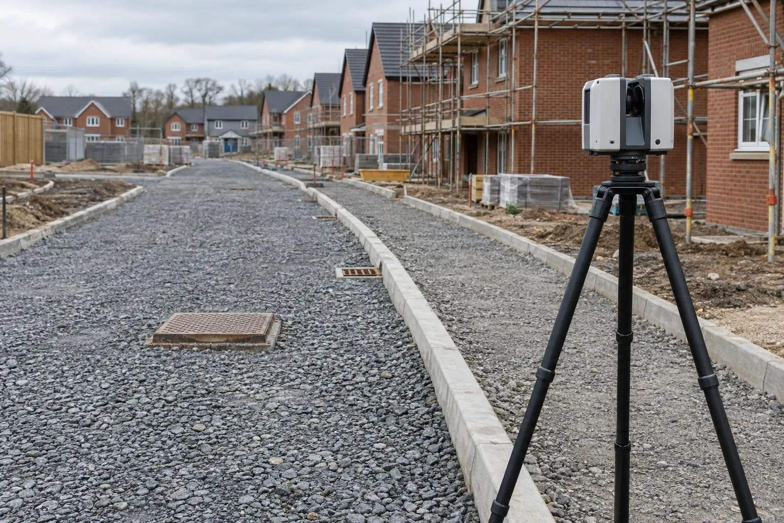
Road & sub-base level surveys
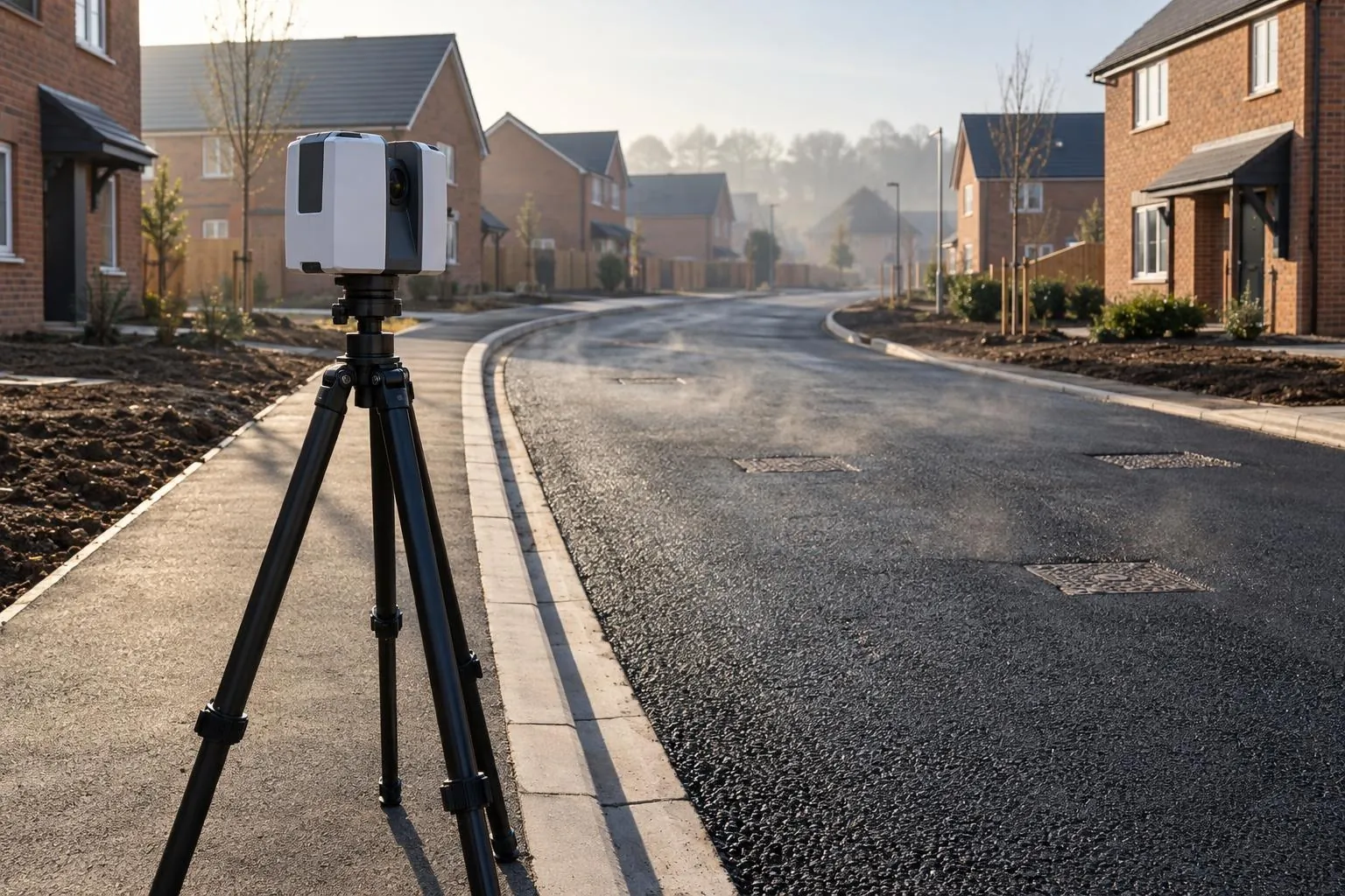
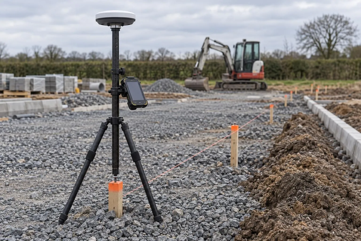
Sub-base and binder checked against the road design before the next layer goes on.
Site progress surveys
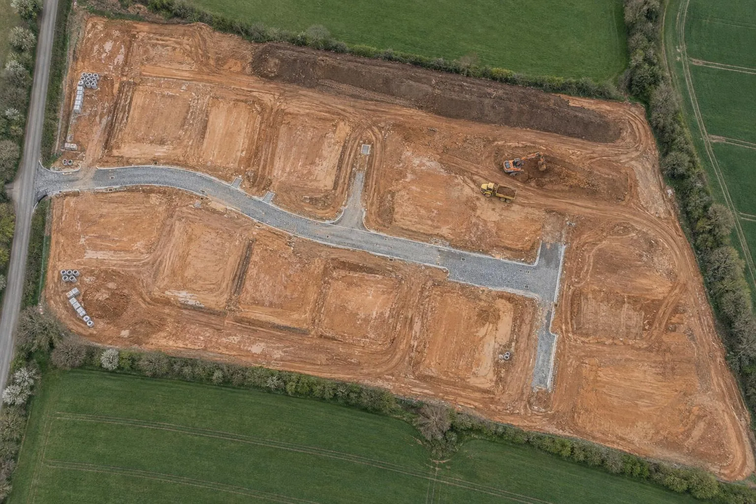
The whole site, every month, from the air. A scaled aerial map, photos from the same viewpoints each visit and a clear comparison with last time, for valuations, board reports and the record.
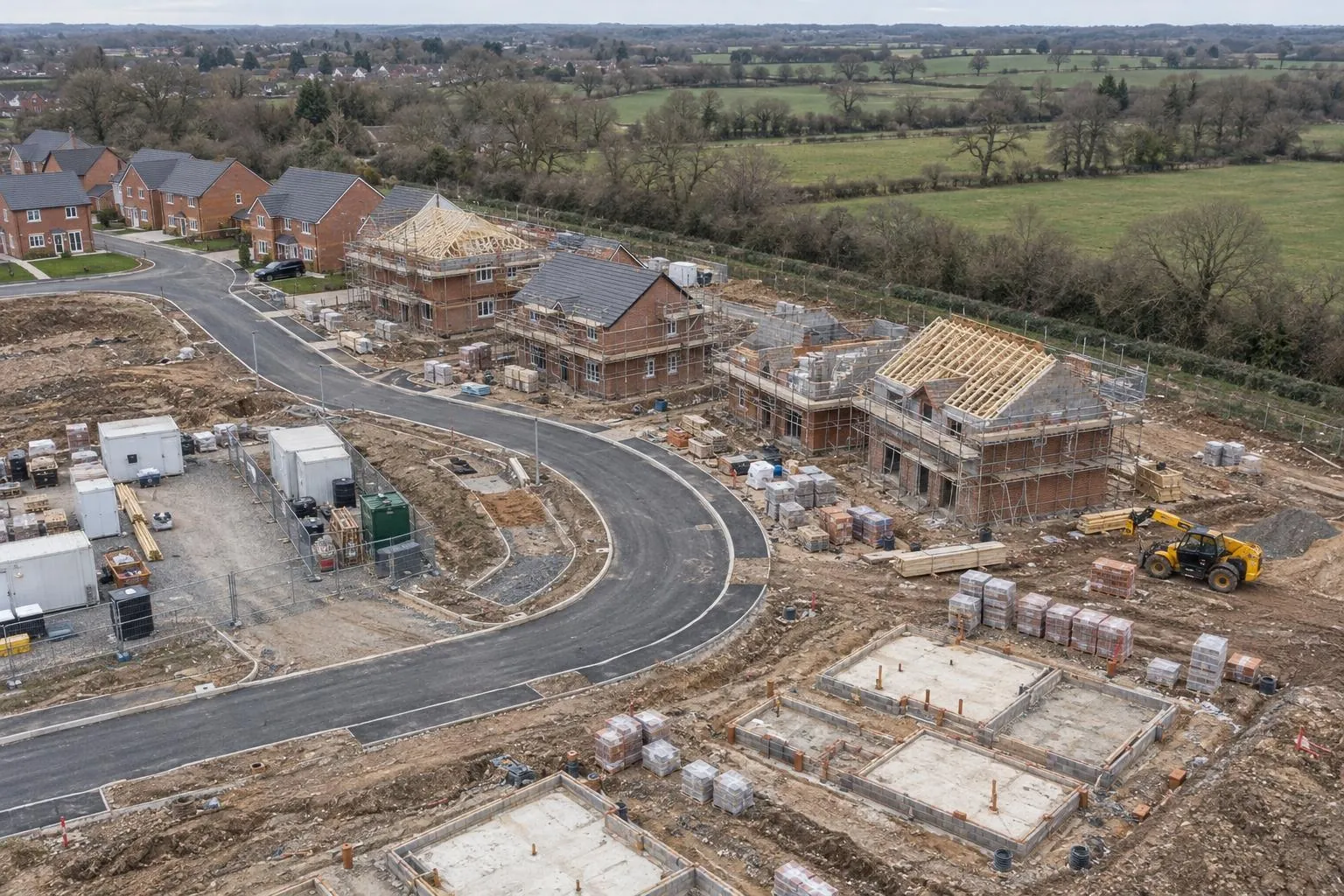
In short: a progress survey is a regular drone flight over your site that captures a scaled orthophoto tied to ground control and a set of aerial photos from fixed viewpoints. Each visit is compared with the last, so anyone can see what has been built, where, and how much, without going to site.
Every site has photos. Few have photos anyone can find six months later, taken from somewhere that shows the whole picture, with a date that can be relied on. When a valuation is questioned, a delay is claimed, or someone asks when a drain run went in, a dated, scaled aerial map of the entire site answers it in seconds.
Because the orthophoto is tied to ground control, it's a measured plan, not a picture. Lengths of road and kerb, areas of surfacing and the position of anything visible can be taken off it and checked against the layout.
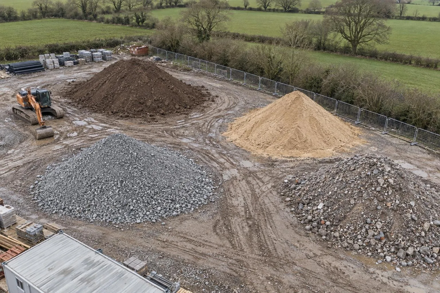
The same visit can include stockpile volumes or earthworks quantities, so the progress report and the material figures come from one flight on one date.
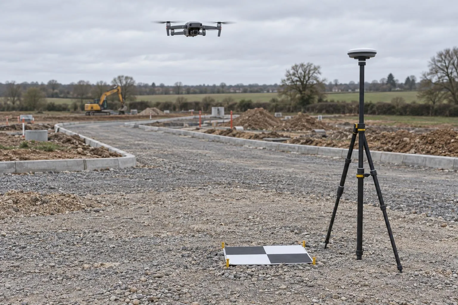
We set permanent ground control, fly the site, and save the photo viewpoints for every later visit.
Visits booked to your reporting cycle, such as the last week of each month before valuations.
Each visit is flown the same way and compared with the last.
Orthophoto, photos and summary within two working days, ready to drop into your report.
Flights follow the Civil Aviation Authority's rules, so we keep clear of people on site and the public, agree the timing with the site manager and work around cranes. Heavy rain, strong wind and low cloud stop flying; if a visit is lost to weather, we fly the next suitable day and say so on the report. Sites close to airports may need permission, which we arrange before the first visit.
See the progress survey cost guide for prices.
Sub-base and binder checked against the road design before the next layer goes on.
Before-and-after scans that map the thickness actually laid, across the whole road.
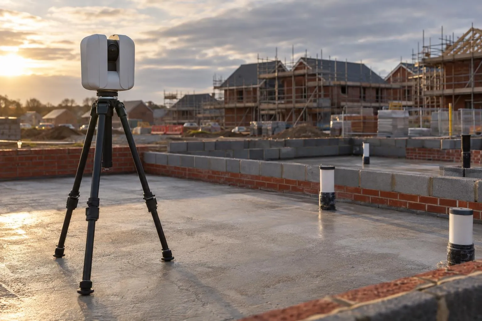
Slab flatness, brickwork to drawing and drain collar positions, checked plot by plot.
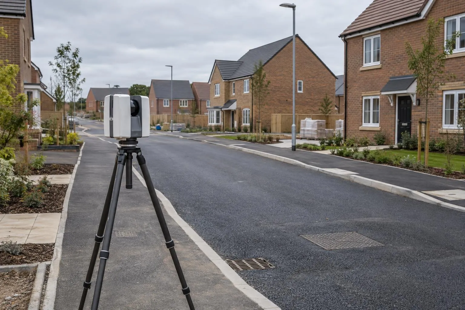
Finished roads, kerbs, drainage covers and plots recorded, with as-built drawings in DWG and PDF.
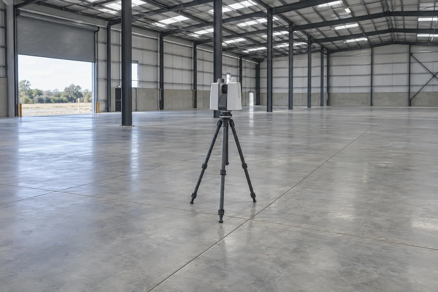
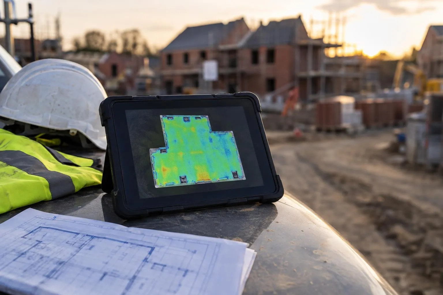
Slabs and screeds scanned edge to edge and checked against SR1-SR3 or your flatness class.
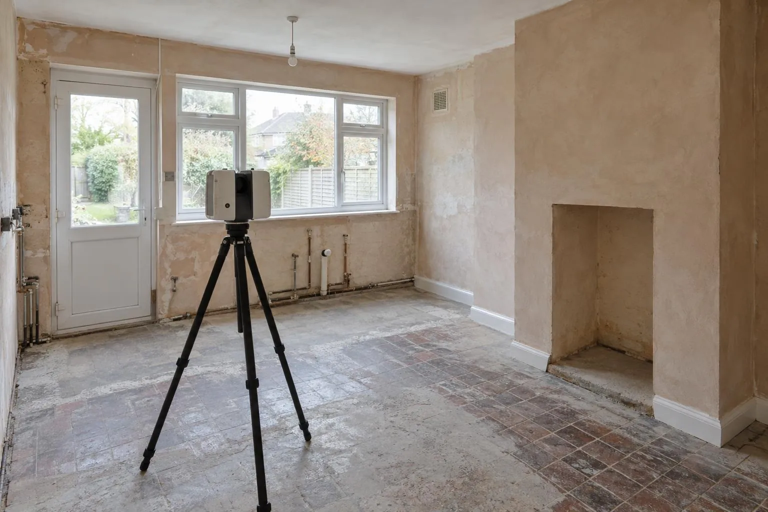
Millimetre-accurate floor plans and elevations for kitchens, extensions and architects.
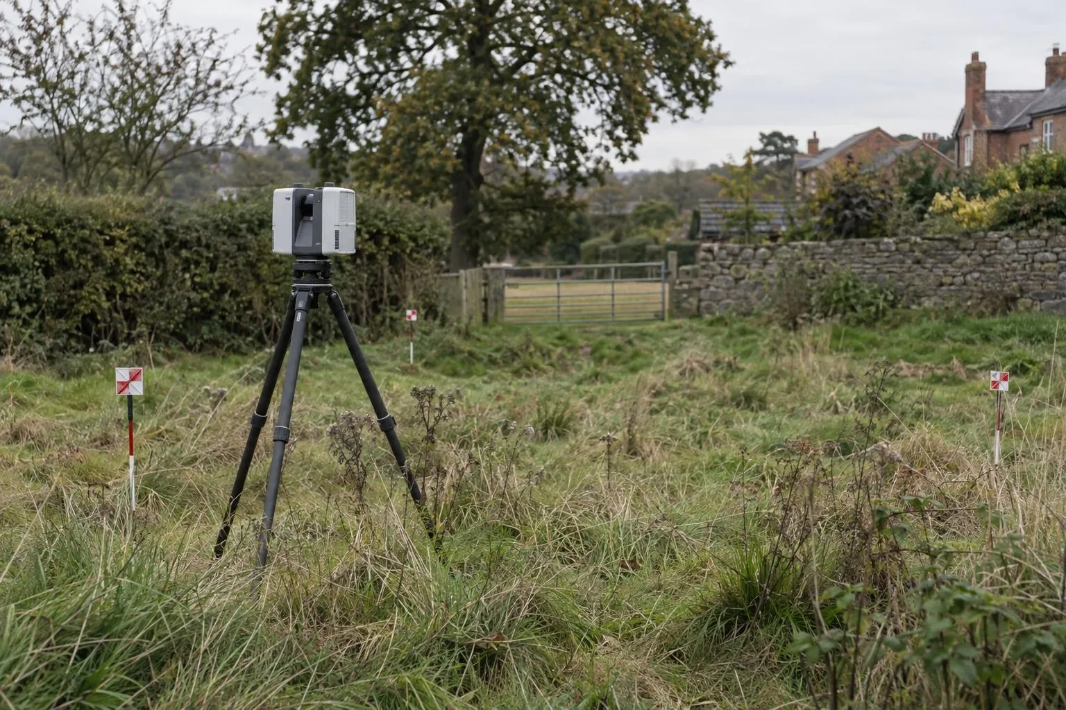
Levels, contours, boundaries, buildings and trees for planning and design, with the full 3D scan.
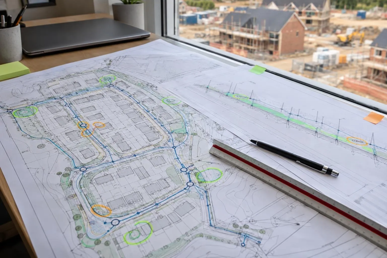
Groundworks and civils drawings reviewed before you dig, on any project: problems found on paper.
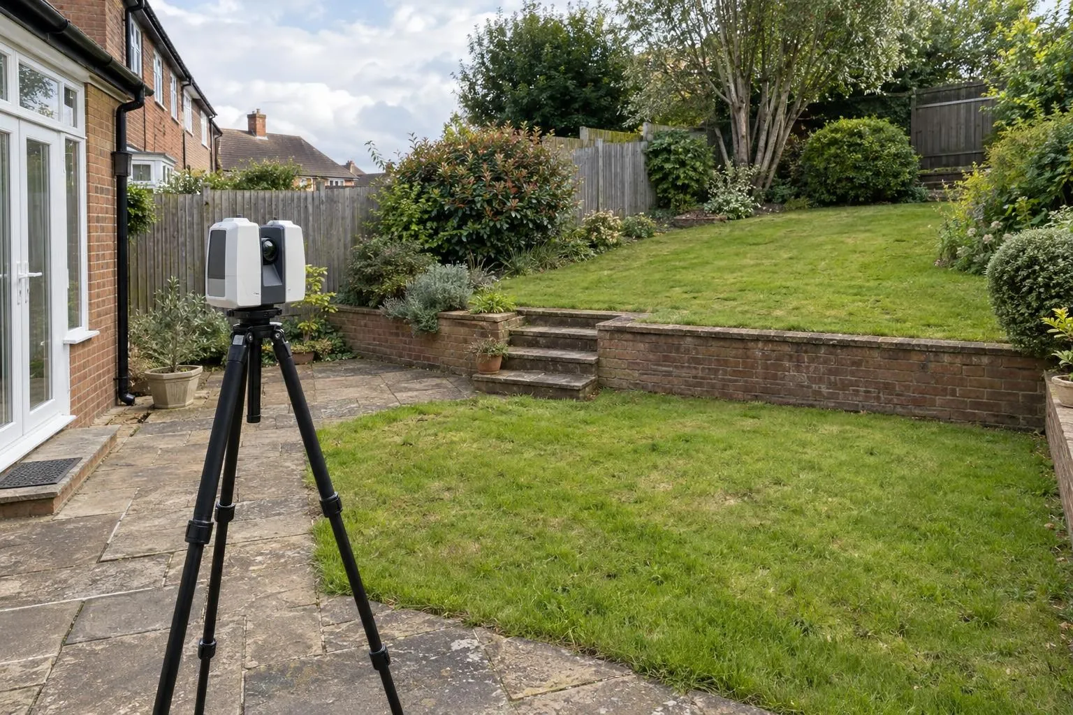
Levels, walls, steps, trees and drains surveyed for garden designers, landscapers and homeowners.
Aerial mapping tied to RTK GNSS control: scaled orthophotos, levels and contours for whole sites.
Every heap of stone, topsoil and spoil measured by drone, in cubic metres and tonnes.
Cut and fill against design or a previous survey, topsoil strip depths and muck-shift checks.
Site control on Ordnance Survey grid, and pegs for earthworks, drainage, roads and plots.
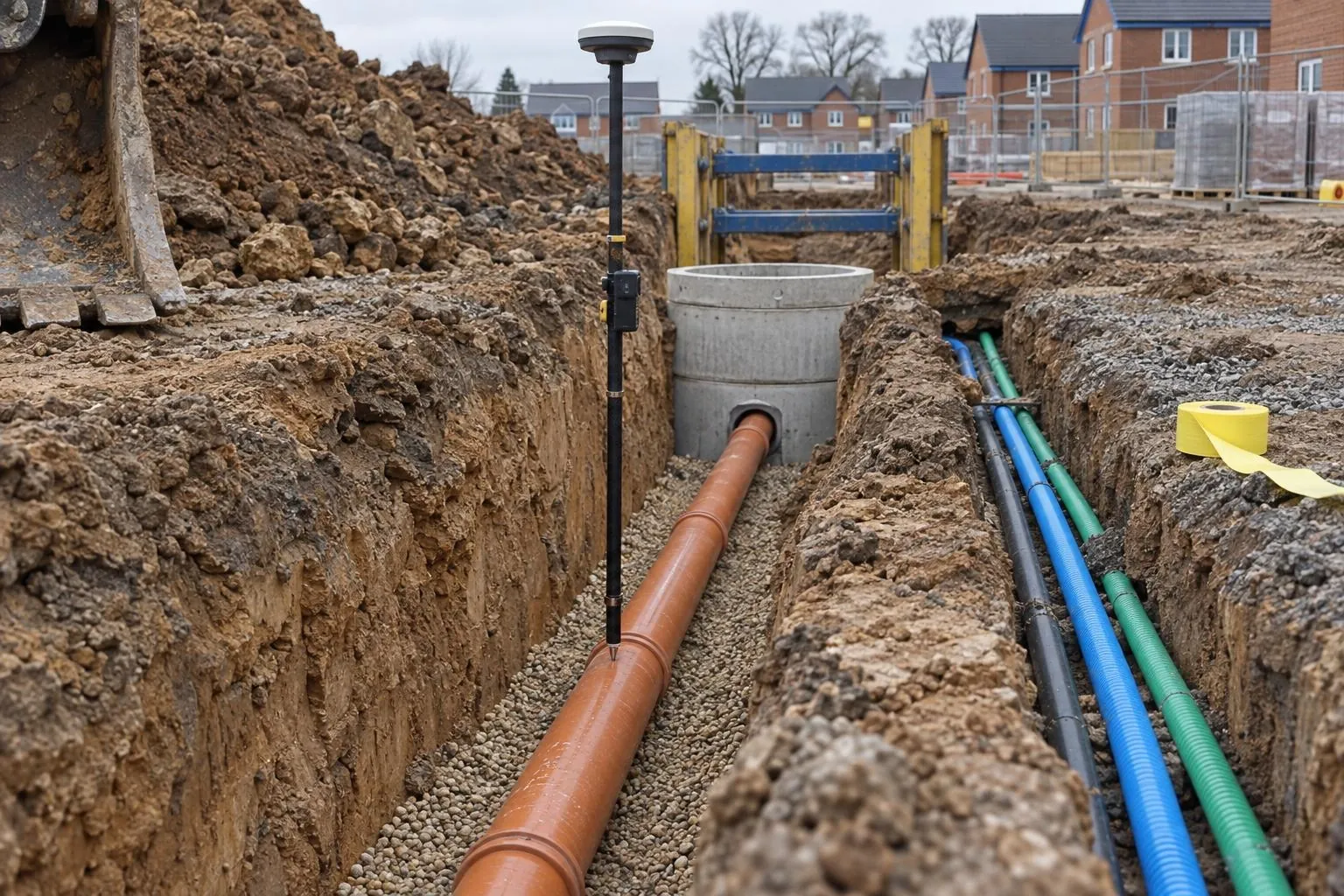
Drainage, chambers and ducts recorded in the open trench, with levels and photos, before backfill.
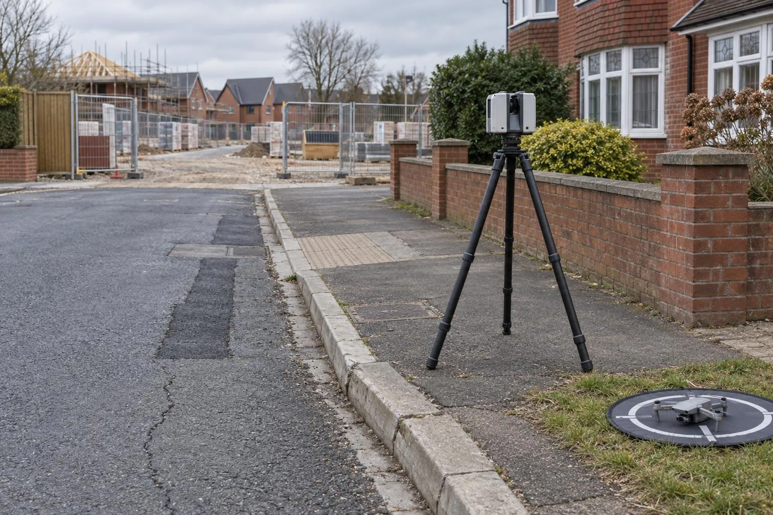
Roads, kerbs, walls and neighbouring buildings recorded by scan, drone and photo before work starts.
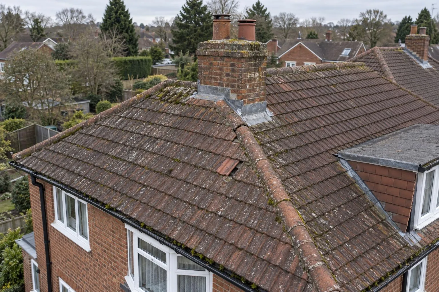
Close-up roof inspections without scaffold, with measured roof areas and pitches if needed.
Already have a scan or your engineer's levels? We process your data and report against design, no visit needed.
A regular flight over a construction site, usually monthly, that captures a scaled aerial map of the whole site and a set of aerial photos taken from the same positions every time. Put side by side, they show exactly what has changed since the last visit: roads laid, plots out of the ground, drainage in, compounds moved.
Housebuilders and main contractors reporting to directors, funders and clients; groundworks contractors backing up interim valuations; monitoring surveyors and project managers who can't be on site every week; and land and sales teams who want up-to-date aerial views of a development.
The orthophoto is a measured, scaled map tied to ground control, not a picture. You can measure lengths and areas from it, overlay the site layout, and compare it accurately with last month's. The oblique photos are taken from the same saved viewpoints each visit, so the comparison is like for like.
Yes. We can mark up the orthophoto with the build stage of each plot, the lengths of road, kerb and footpath completed, and areas surfaced, so the progress report reads like a valuation summary rather than a photo album. Volumes of earthworks and stockpiles can be added on the same visit.
Yes, when it's planned properly. We follow the Civil Aviation Authority's Open category rules, sign in and agree the flight with the site manager, keep the drone within sight, and plan the route to stay clear of people working, cranes and the public. Most flights take well under an hour.
Usually within two working days of the flight, as a link to the orthophoto and photos and a short PDF summary you can drop straight into a monthly report.
Send the drawing, the location and when you need it. We reply the same working day with a fixed price.