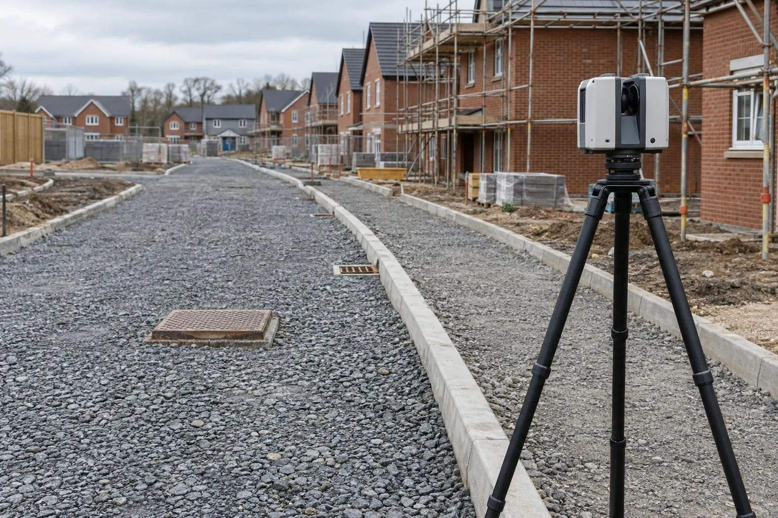
Road & sub-base level surveys
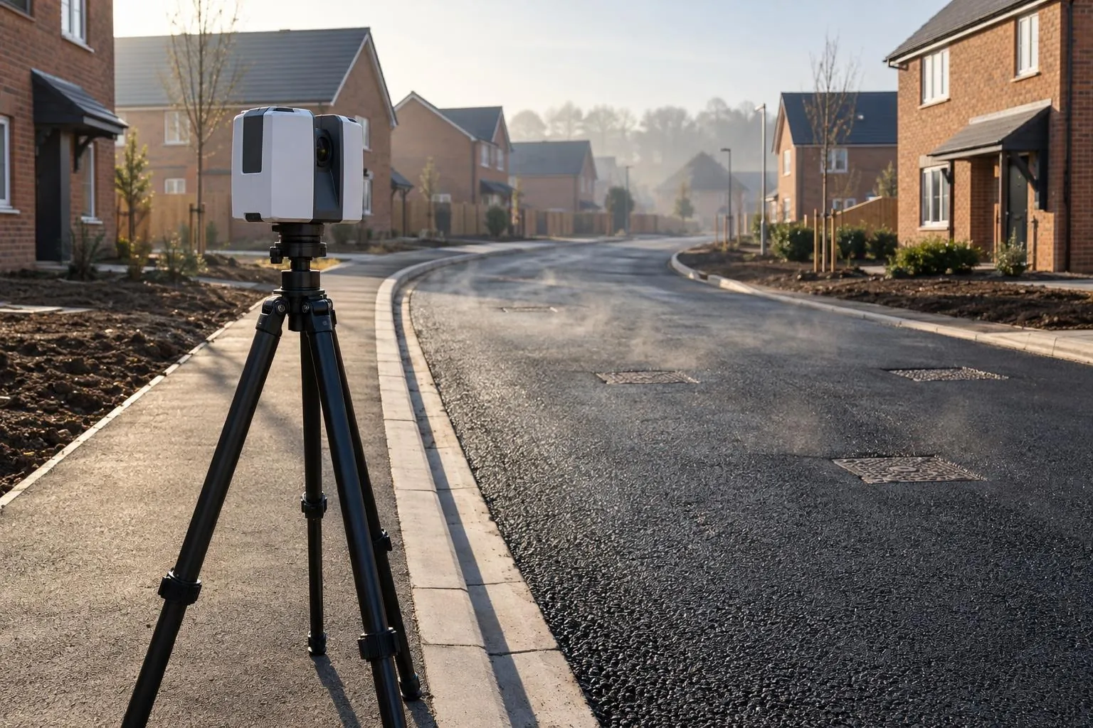
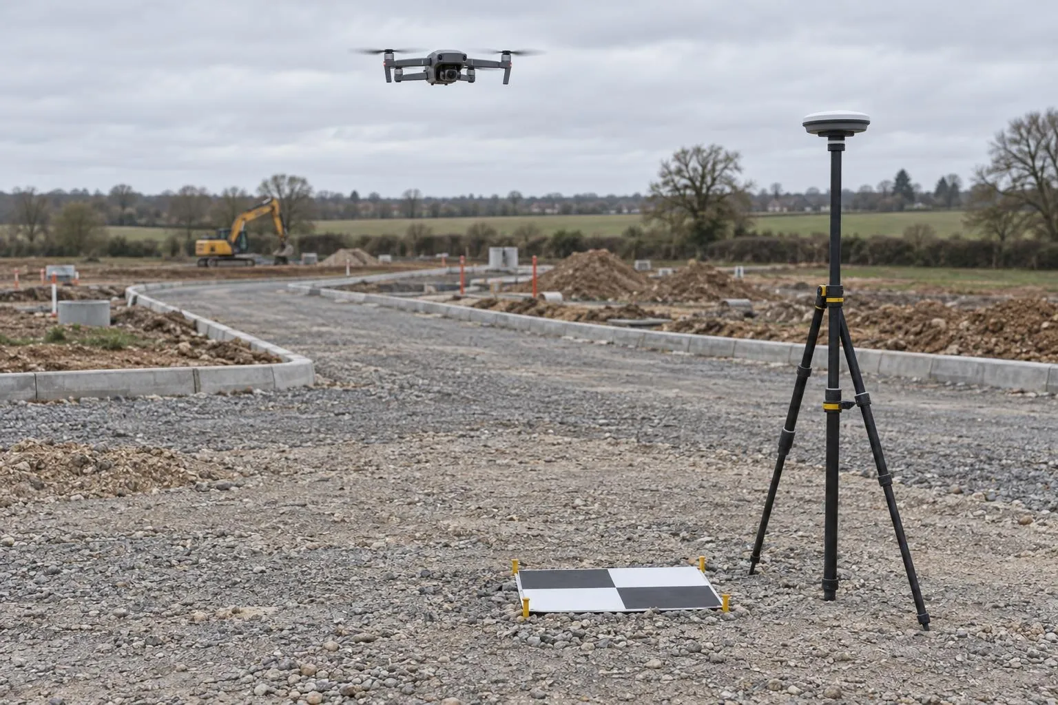
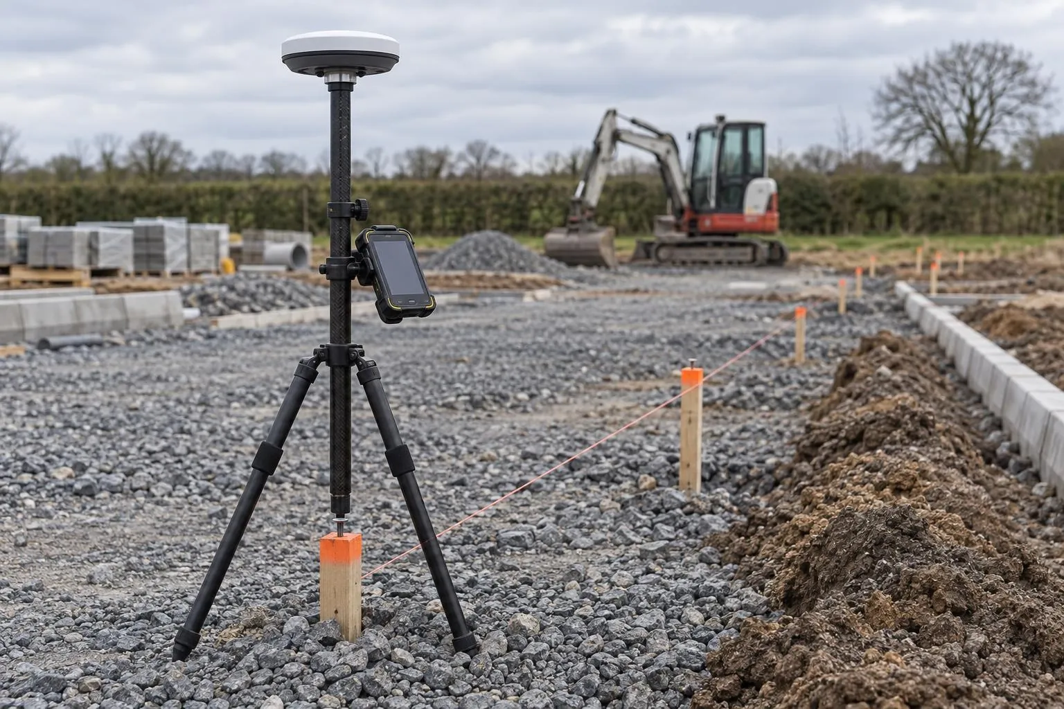
Sub-base and binder checked against the road design before the next layer goes on.
Drone roof surveys
See every tile, ridge, chimney and gutter without anyone going up. We inspect roofs by drone, mark up what we find, and can measure every slope for roofers and solar installers.
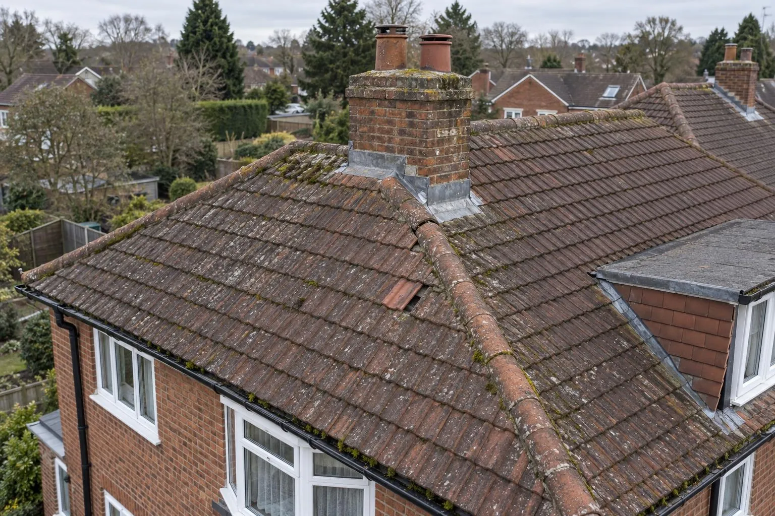
In short: a drone roof survey photographs a roof close up from every side without ladders or scaffold. You get the marked-up photos and a plain visual condition report, and, if you need it, a measured roof report with areas, pitches and lengths taken from a scaled 3D model.
Most roof problems start with a stain on a ceiling or a tile in the garden, and the first instinct is to get someone up there. Scaffolding to find out what's wrong can cost more than the repair. A drone shows the whole roof close up in a short visit, so the roofer you call already knows what needs doing, and you can compare quotes for the same job.
Because we don't do roofing work, the report is impartial. It describes what can be seen and how urgent it looks, without anything to sell.
The same flight can build a scaled 3D model of the roof, tied to measured points on the ground. From it we take the area and pitch of each slope, the length of every ridge, hip, valley, eave and verge, and the position of dormers, chimneys and roof lights, so re-roofing and solar panel layouts can be priced from real numbers.
The property, what you're worried about, and whether you also need the roof measured.
We check airspace, confirm a fixed price and book a date.
Close passes around every slope, chimney and gutter, usually under an hour.
Marked-up photos and condition notes, plus measurements if ordered, within two working days.
The drone sees the outside of the roof. It can't see inside the loft, the condition of battens, felt or timbers, or exactly where water is getting in, so a roofer may still need to look from inside. It isn't a structural survey or a home buyer's survey. Heavy rain and strong wind stop flying, and a few properties close to airports need permission first, which we check when we quote.
See the roof survey cost guide for prices.
Sub-base and binder checked against the road design before the next layer goes on.
Before-and-after scans that map the thickness actually laid, across the whole road.
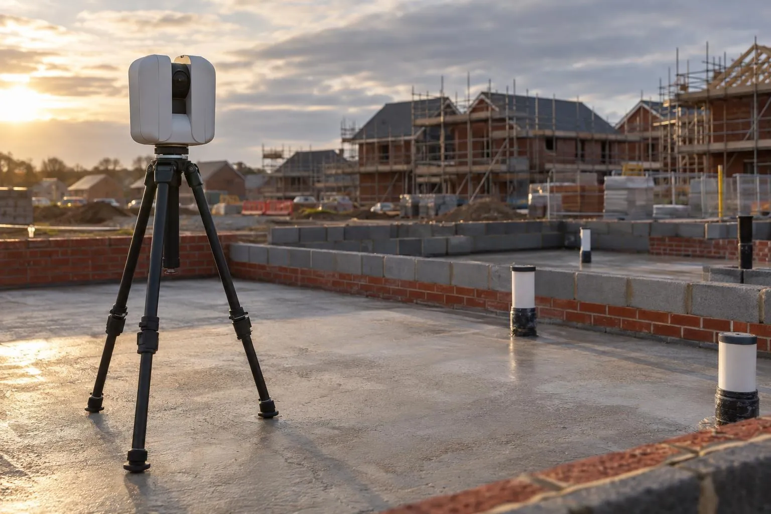
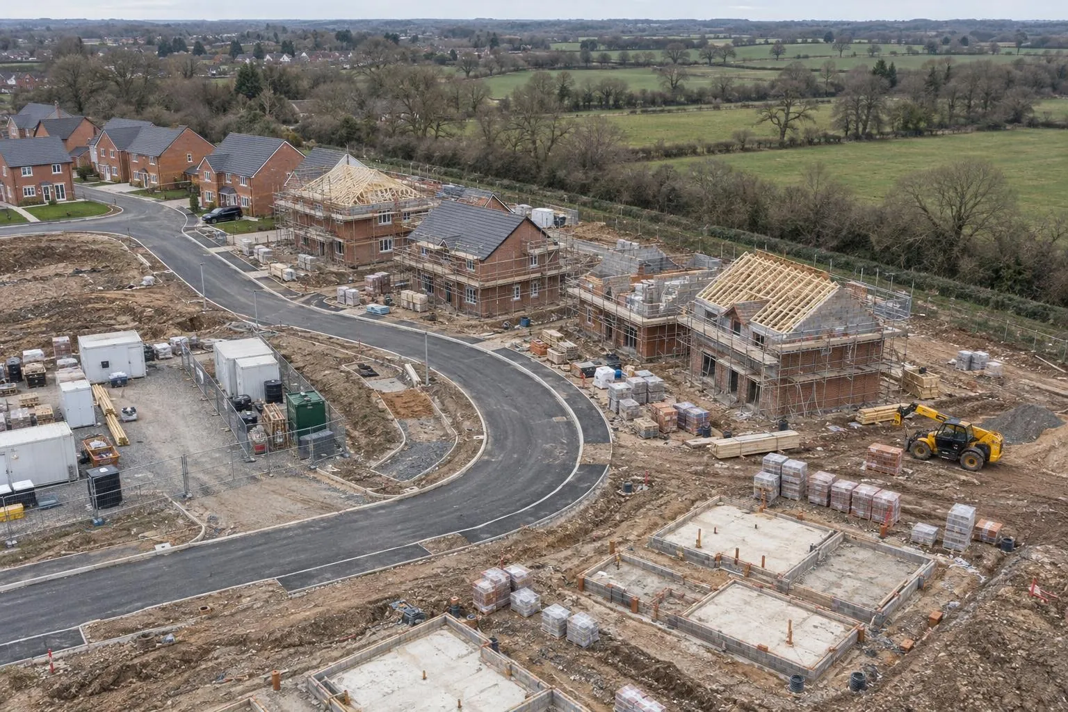
Slab flatness, brickwork to drawing and drain collar positions, checked plot by plot.
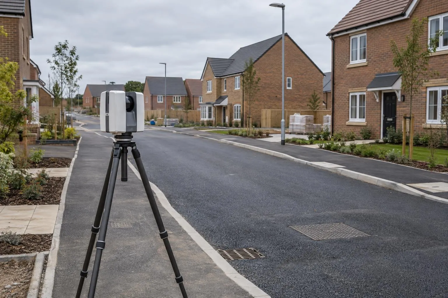
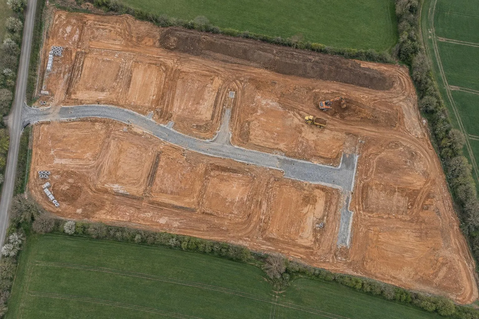
Finished roads, kerbs, drainage covers and plots recorded, with as-built drawings in DWG and PDF.
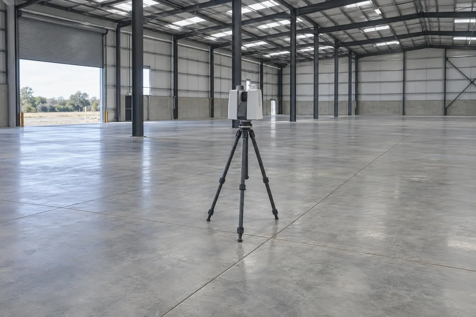
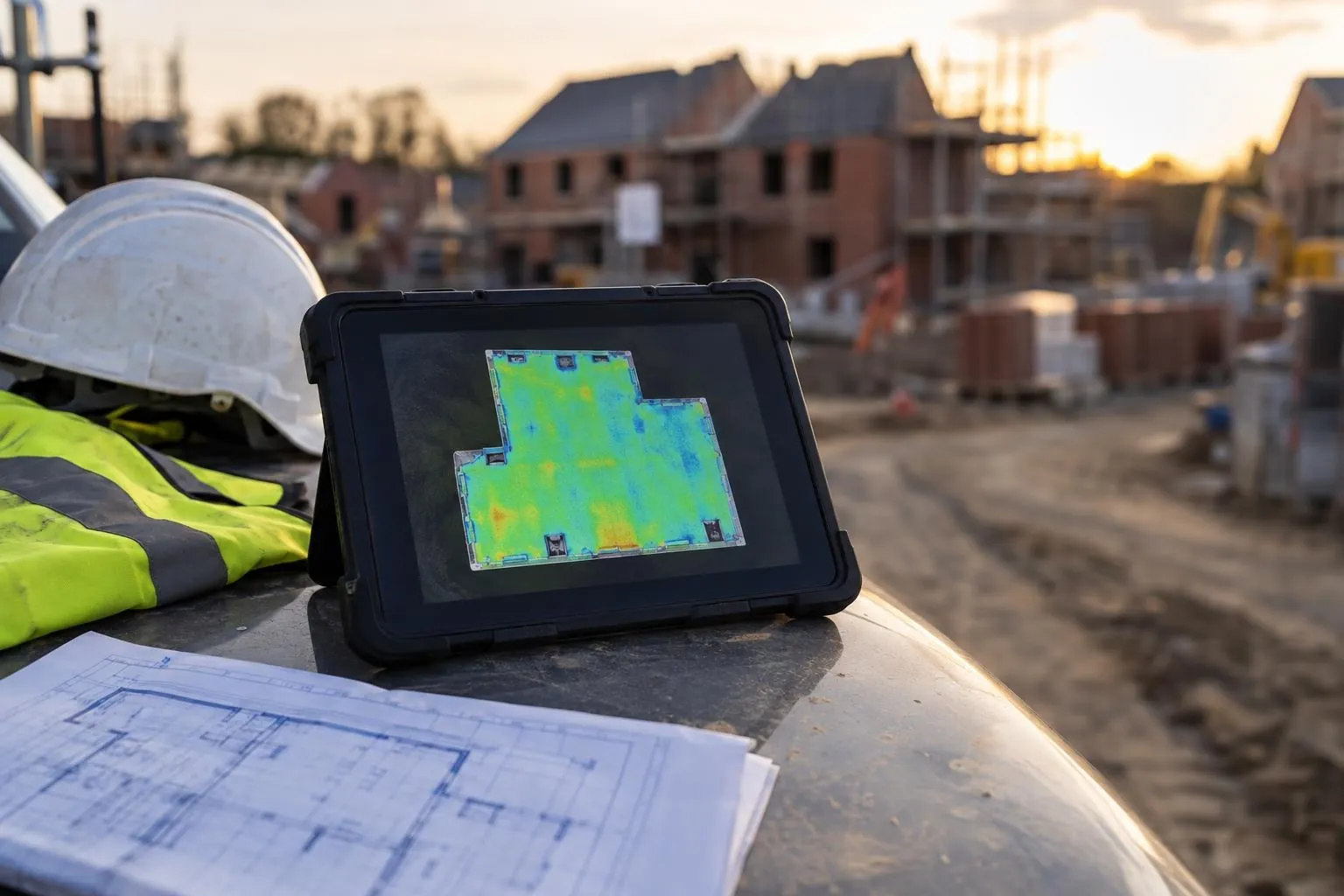
Slabs and screeds scanned edge to edge and checked against SR1-SR3 or your flatness class.
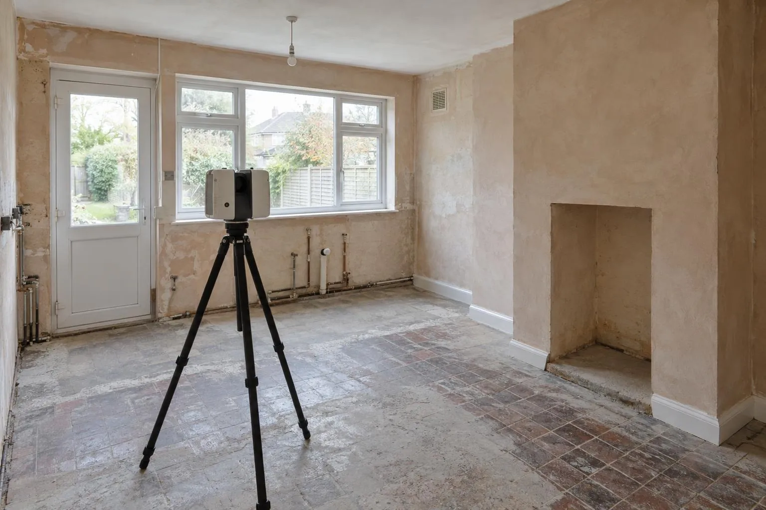
Millimetre-accurate floor plans and elevations for kitchens, extensions and architects.
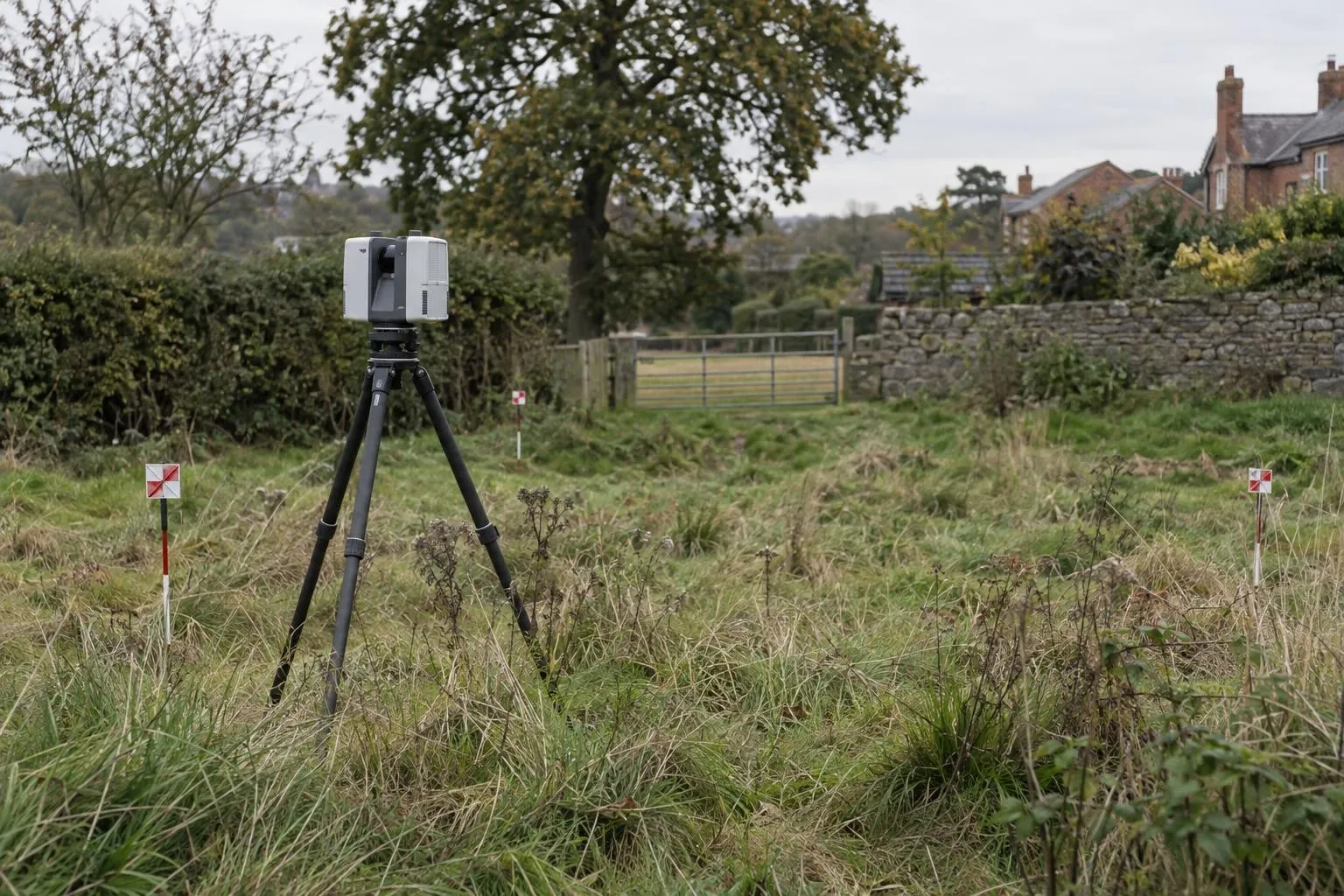
Levels, contours, boundaries, buildings and trees for planning and design, with the full 3D scan.
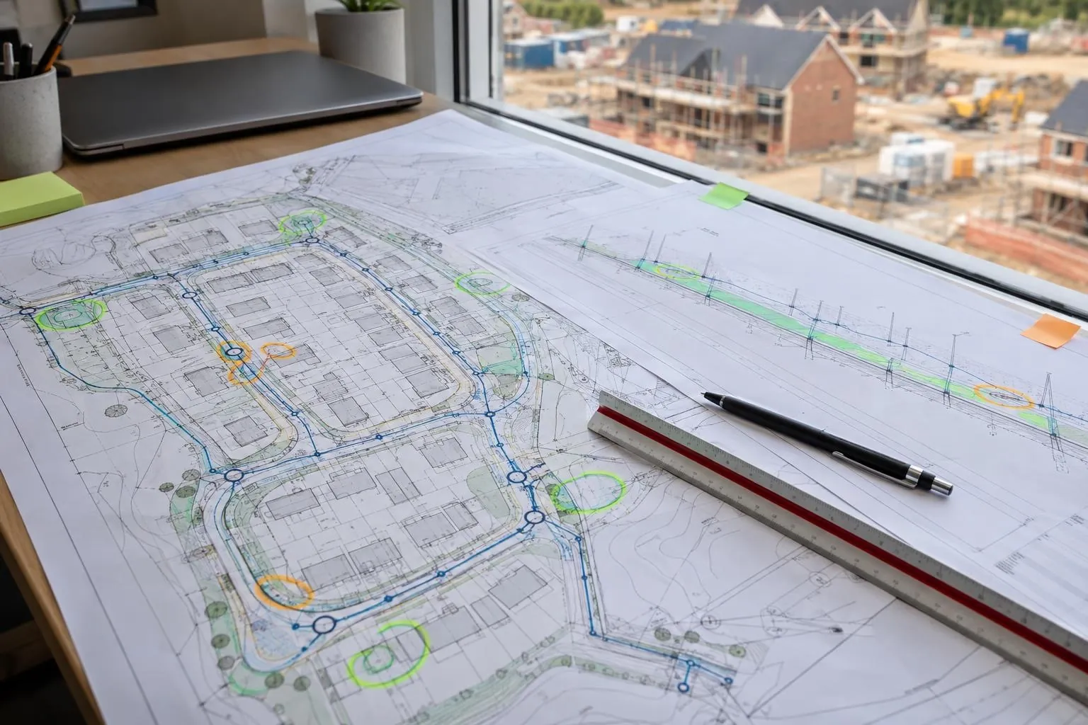
Groundworks and civils drawings reviewed before you dig, on any project: problems found on paper.
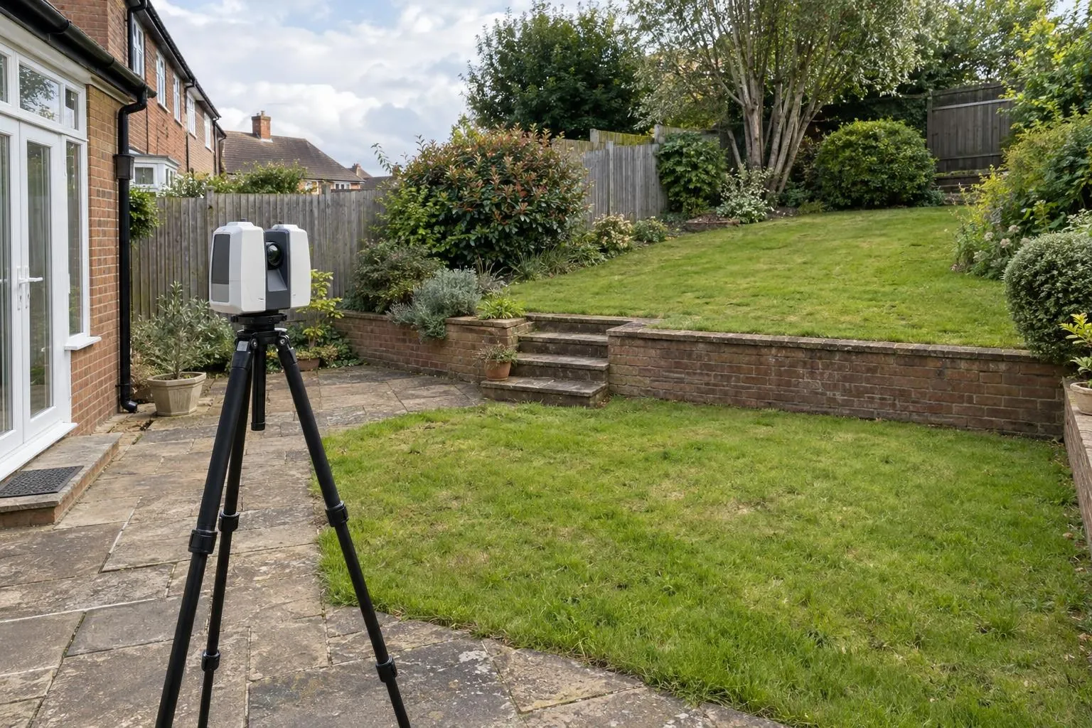
Levels, walls, steps, trees and drains surveyed for garden designers, landscapers and homeowners.
Aerial mapping tied to RTK GNSS control: scaled orthophotos, levels and contours for whole sites.
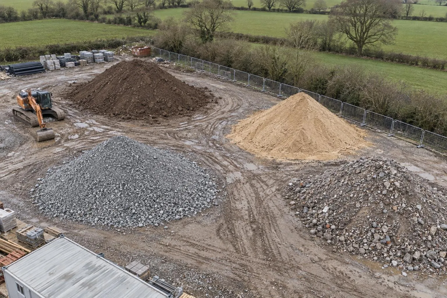
Every heap of stone, topsoil and spoil measured by drone, in cubic metres and tonnes.
Cut and fill against design or a previous survey, topsoil strip depths and muck-shift checks.
Monthly drone records of the whole site, compared with last month, for valuations and reports.
Site control on Ordnance Survey grid, and pegs for earthworks, drainage, roads and plots.
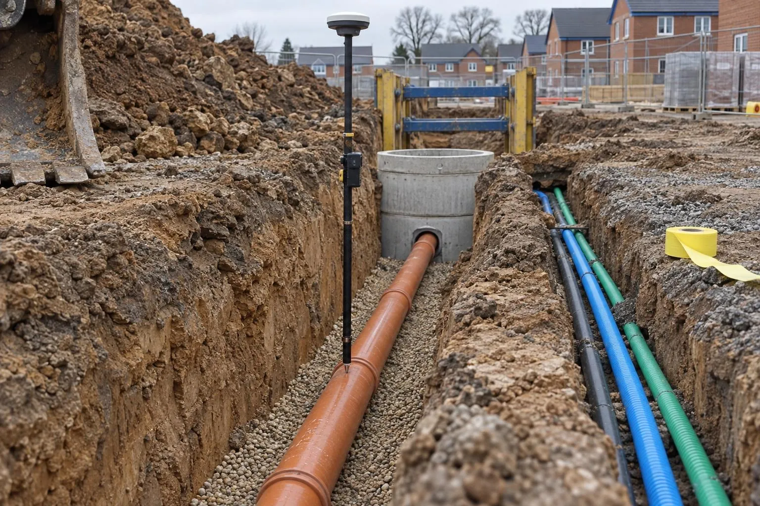
Drainage, chambers and ducts recorded in the open trench, with levels and photos, before backfill.
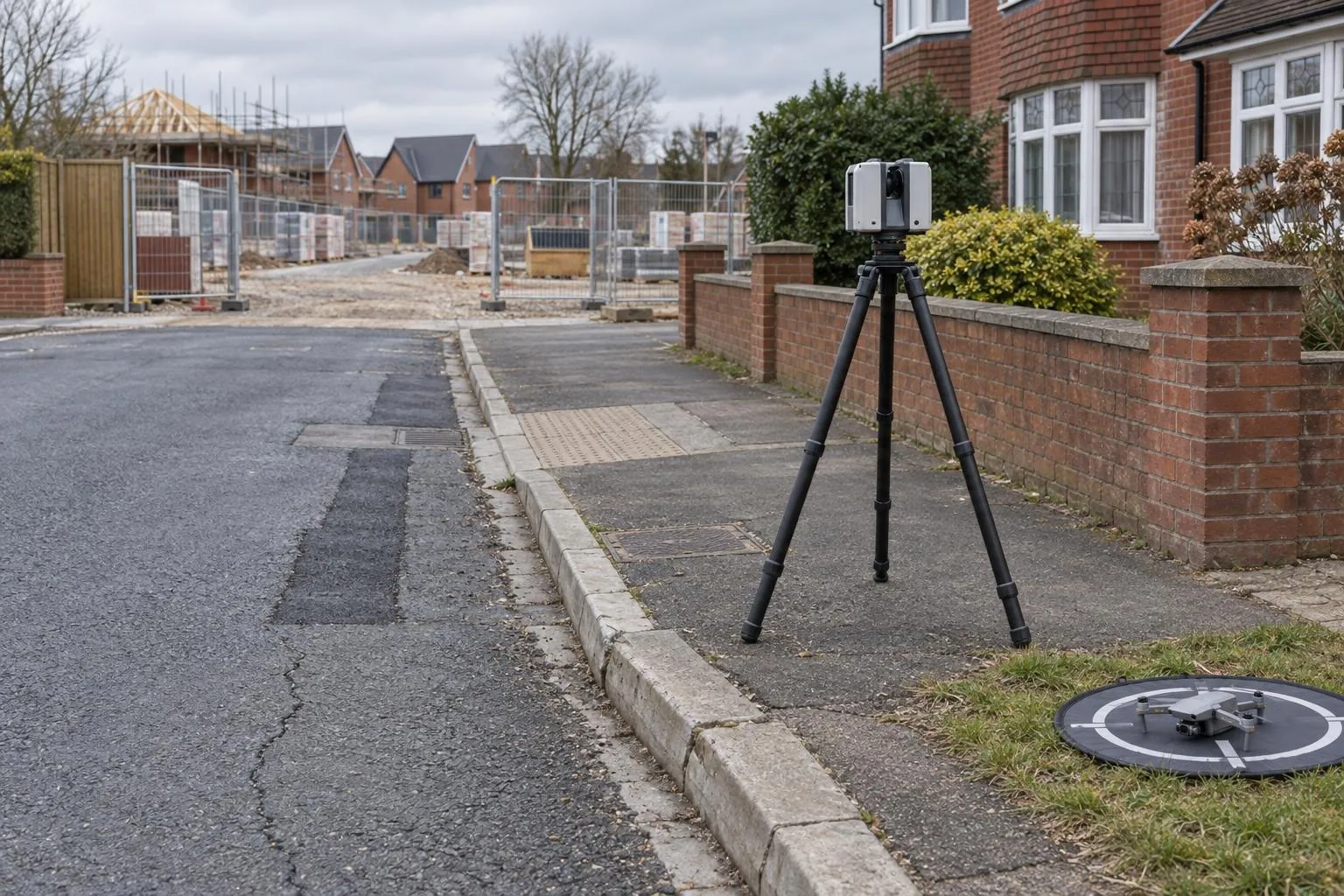
Roads, kerbs, walls and neighbouring buildings recorded by scan, drone and photo before work starts.
Already have a scan or your engineer's levels? We process your data and report against design, no visit needed.
A close inspection of a roof using a drone instead of ladders, scaffold or a cherry picker. The drone flies around and over the roof taking high-resolution photos of the coverings, ridges, valleys, chimneys, flashings and gutters, and we report what can be seen, with the photos marked up.
Slipped, cracked and missing tiles or slates, gaps in ridge and hip mortar, damaged or lifted lead flashings, chimney stack and pot condition, blocked or broken gutters, moss and vegetation, and visible damage after storms. It shows the outside of the roof; leaks inside the roof space, rot in timbers and the condition of the felt need a roofer to look from inside.
Yes. A measured roof report builds a scaled 3D model of the roof from the drone photos and gives plan and true areas for each slope, pitches, ridge, hip, valley, eaves and verge lengths, and dormer and chimney positions. Roofers, solar installers and estimators use it to price without going up.
Almost always. Putting up scaffold or hiring a cherry picker just to look at a roof can cost hundreds of pounds before anyone has found a problem. A drone gets a close look in a short visit, with nobody working at height, and you only pay for access once you know what needs fixing.
We fly within the Civil Aviation Authority's rules, keep the drone over your property as far as we can, and keep a sensible distance from people and other houses. We only keep photos of the roof being surveyed. In some built-up streets we let the neighbours know beforehand, which most people appreciate.
No, and that's deliberate. We report what the photos show, impartially, so you can get the right work quoted by a roofer of your choice. If something looks like it needs urgent attention, we say so clearly in the report.
Send the drawing, the location and when you need it. We reply the same working day with a fixed price.