Cost guide
Road and sub-base scanning cost
What a laser scan check of an estate road costs, what's included, and how to get the most out of each visit.
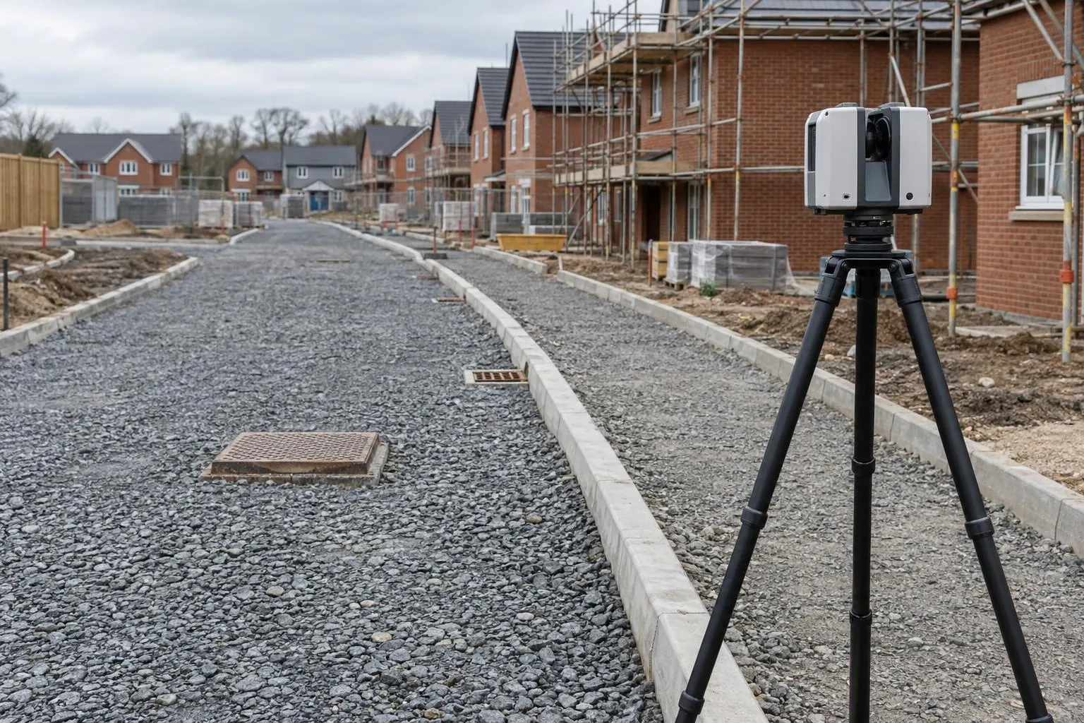
Guide price: a road and sub-base scan costs from £495 for a half-day visit (typically 200–300 m of estate road) and from £850 for a full day. The price includes the comparison with your design levels, a next-day PDF report with heat-maps and cross sections, and the point cloud. Prices are before VAT, with travel included within 50 miles of Corby.
| Option | Guide price | What it covers |
|---|---|---|
| Half-day visit | from £495 | Around 200–300 m of carriageway and footpaths, one layer, report next working day |
| Full-day visit | from £850 | Around 500–700 m, or several short roads on one site |
| Repeat scan of a corrected area | from £195 | Rescan and updated report after trimming or topping up, same day as another visit |
| Building a design surface from 2D drawings | from £95 | Only when no 3D surface or levelled DWG is available |
Guide prices before VAT. Your quote is fixed once we've seen the drawings.
Worked examples
A 180 m cul-de-sac with a turning head
One half-day visit to scan the sub-base, with the design surface supplied as a 3D model. Report the next morning. £495.
A 600 m spine road at sub-base and binder
Two full-day visits a week or two apart. The second scan checks binder levels and, because the sub-base was scanned first, also gives the binder thickness across the whole road. Around £1,700 for both, with the thickness report included.
Three short roads on one phase
One full day covering all three, each with its own report. From £850 rather than three separate half-days.
Compared with doing it by hand
A site engineer with a level or GPS rover can check a sub-base too, and on most sites they will still be there for setting out. The difference is coverage and record. An engineer checks a grid of points; a scan checks the whole surface and leaves a measured, dated record that can be shown to the adoption engineer or used in a dispute. Many contractors use both: the engineer for day-to-day control, the scan at the hold points that matter.
Getting the most from the price
- Send a 3D design surface or levelled DWG if you have one. It saves the design-surface charge.
- Have the layer finished and the road clear of stockpiles before we arrive.
- Book sub-base and binder together and get the thickness report almost free.
- Combine with plot checks on the same site and share the visit.
What's included
- Scanning on your site control
- Design surface comparison
- PDF report with heat-map and pass/fail
- Cross sections at your chainages
- Registered point cloud (E57 / LAS)
- Travel within 50 miles of Corby
Read how the service works on the road and sub-base scanning page, or see all prices.
Road scanning across the area
Questions we get asked
How much does it cost to laser scan a road sub-base?
From £495 for a half-day visit covering roughly 200 to 300 metres of estate road and footpaths, including the comparison with design and a next-day report. A full day, usually 500 metres or more, is from £850.
Is the design comparison extra on a road and sub-base scan?
No. The guide price includes building the design surface from your drawings, comparing the scan with it and the PDF report with heat-maps and cross sections. The registered point cloud is included too.
Is it cheaper to book road scans of several layers together?
Yes. Booking sub-base and binder scans on the same road together is priced as a package, and the binder scan then gives you layer thickness as well, which is a tarmac depth survey for little extra.
What makes a road scan cost more?
Long runs, lots of bends and junctions, roads busy with plant, 2D-only drawings that need a design surface building, extra deliverables such as volumes, and same-day turnaround.
How much does it cost to rescan a corrected area of road?
A rescan of an area that has been trimmed or topped up is from £195, with an updated report, when it is done on the same day as another visit to the site. That makes it cheap to close out a failed section before the binder crew arrives, rather than surfacing over a sub-base you already know is out. Prices are before VAT.
Is a road scan cheaper than a site engineer checking levels with a GPS rover?
Not always in hours, but it buys something different. An engineer with a level or rover checks a grid of points and will still be needed for setting out. A scan from £495 covers the whole surface and leaves a measured, dated record for the adoption engineer or a dispute. Most contractors use the engineer for day-to-day control and a scan at the hold points that matter.
Is travel included in the price of a road scan?
Yes, within 50 miles of Corby, which covers most of the Midlands including Northampton, Leicester, Milton Keynes, Peterborough, Coventry and Nottingham. Sites further away are covered anywhere in the UK, with travel added to the quote and shown separately. Booking several roads or plots on one visit keeps the travel share low.
Book a scan or ask a question
Send the drawing, the location and when you need it. We reply the same working day with a fixed price.