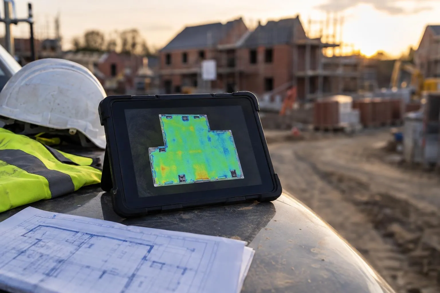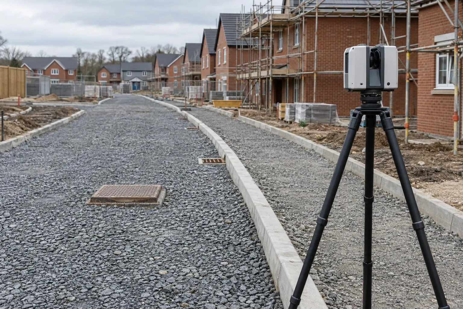
Road & sub-base scanning
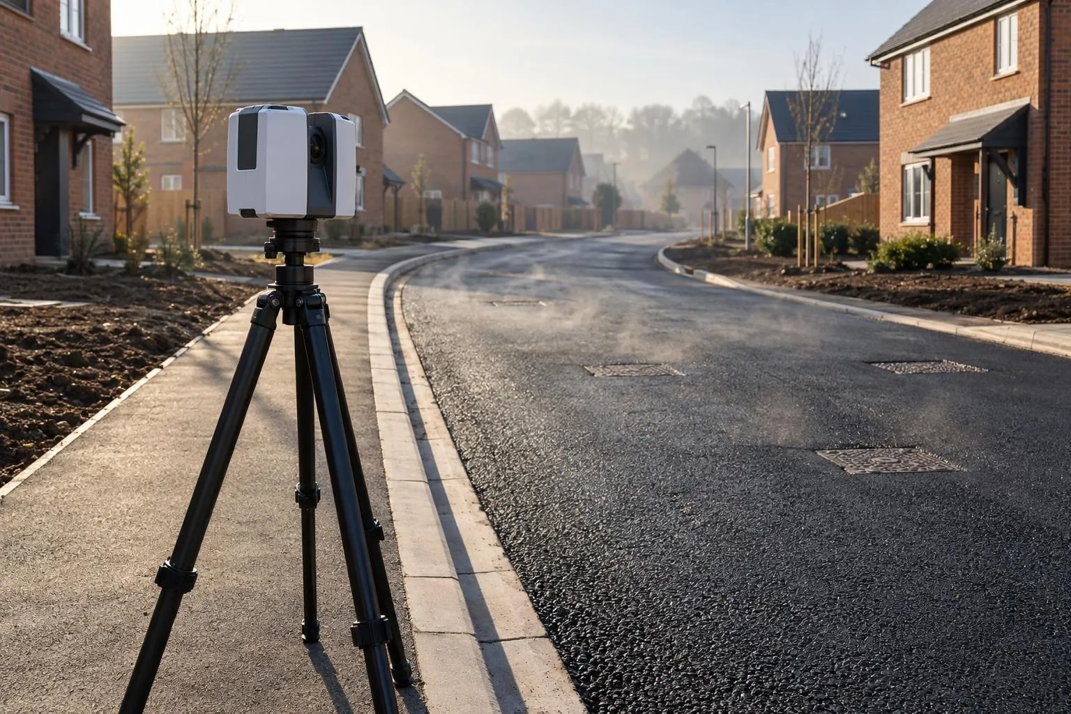
Sub-base and binder checked against the road design before the next layer goes on.
Rutland
Gardens on slopes, stone houses that are never square, and new homes on the edge of Oakham and Uppingham. Rutland is a county where accurate measurement makes the design work.
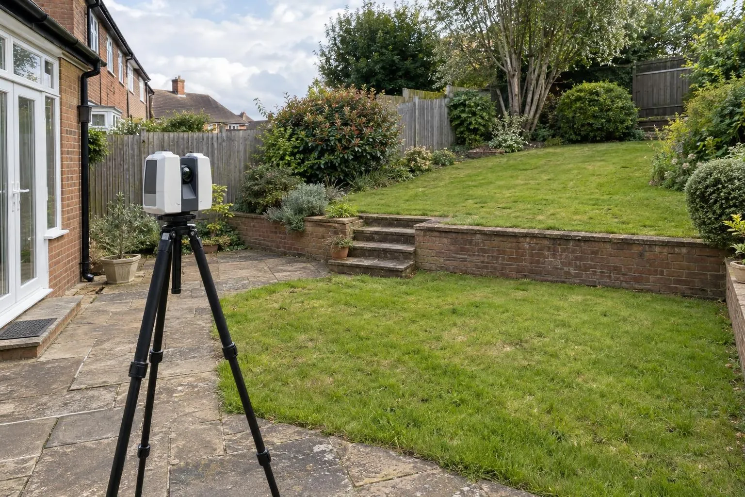
Covering: Oakham, Uppingham, Ketton, Cottesmore, Empingham, Barleythorpe and the Rutland villages, all within our standard travel radius. Every Dimensure service is available.
Rutland's villages are built in ironstone and limestone, often on rising ground, with walled gardens, terraces and steps. That's beautiful to live with and hard to measure by hand. A garden scan records every level, wall and tree so a garden designer can work with the slope rather than discover it, and a measured building survey captures the uneven walls and deep window reveals of an older house exactly as they are.
Oakham has grown steadily, with developments such as Barleythorpe on its north-western edge, and Uppingham and the larger villages have seen new phases too. For the groundworkers and builders on those sites we offer plot and oversite checks, road layer scans and tarmac depth surveys, the same as anywhere else we work.
Details and prices for each service.
Sub-base and binder checked against the road design before the next layer goes on.
Before-and-after scans that map the thickness actually laid, across the whole road.
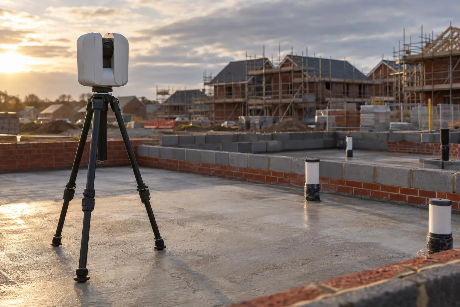
Slab flatness, brickwork to drawing and drain collar positions, checked plot by plot.
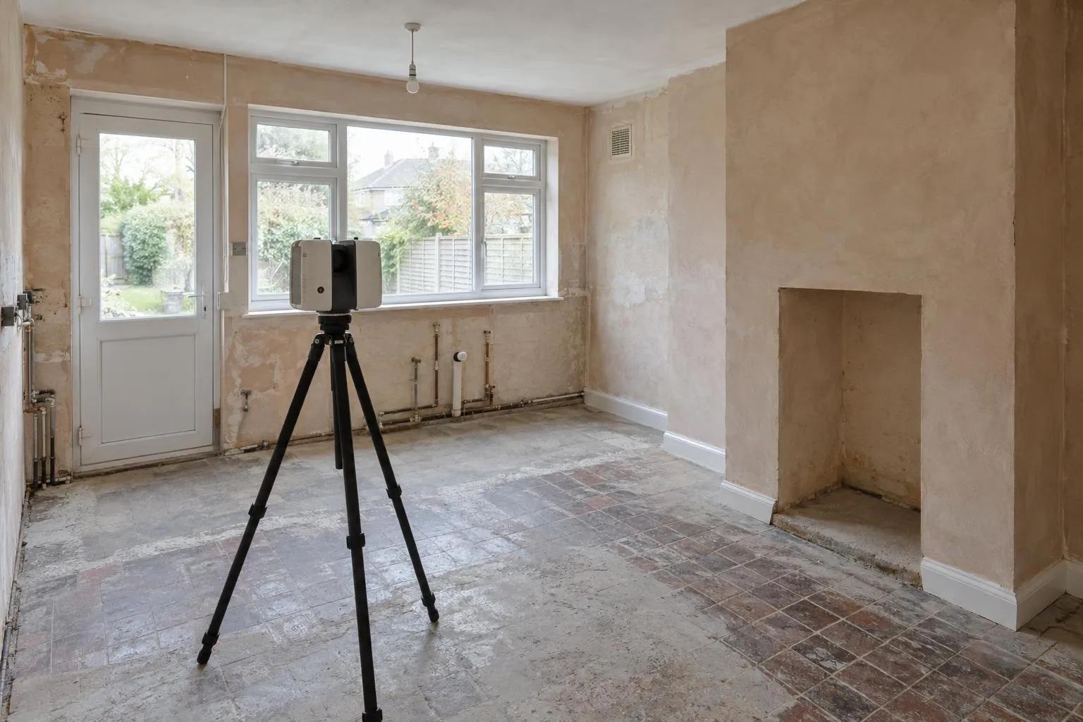
Millimetre-accurate scans of rooms and buildings for kitchens, extensions and interiors.
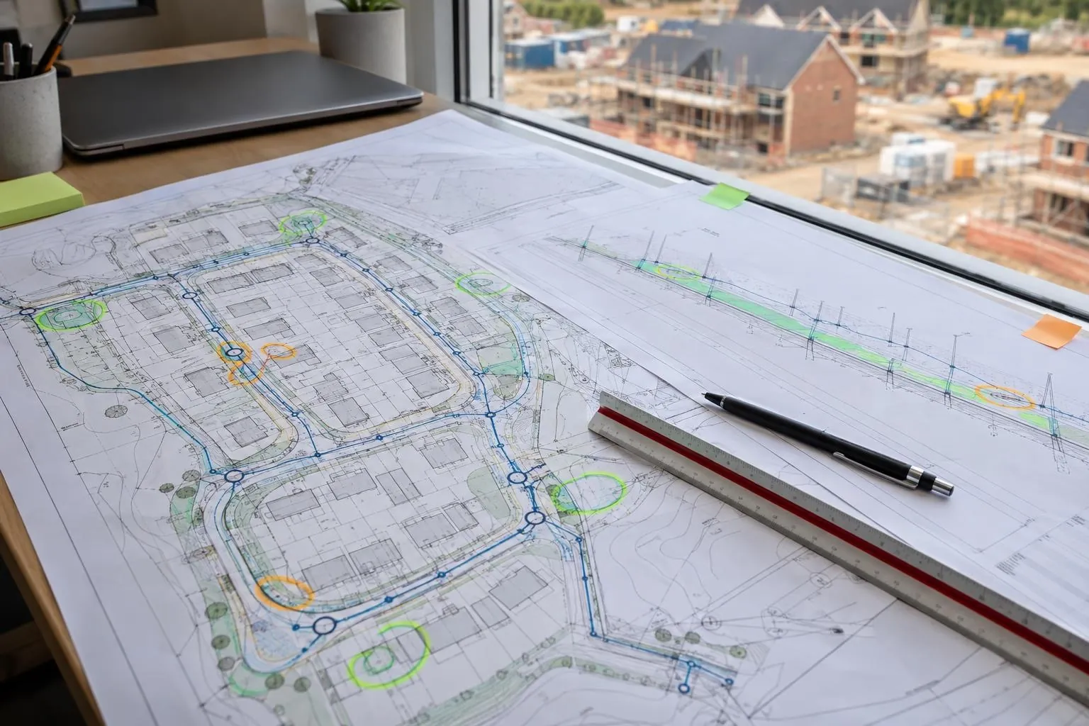
Groundworks and civils drawings reviewed before you dig, on any project: problems found on paper.
Every level, wall, tree and step captured for landscape designers and builders.
Already have a scan or your engineer's levels? We process your data and report against design, no visit needed.
Yes: Oakham, Uppingham, Ketton, Cottesmore, Empingham, Barleythorpe and every village in between, all within our standard travel radius.
Many Rutland gardens slope, sit behind stone walls or surround older houses with low damp-proof courses. A scan captures every level and wall so the design works on the ground and the landscaper's quote is based on real quantities.
Yes. Ironstone and limestone cottages are rarely square or level, which is exactly what a laser scan records. Your architect gets accurate plans and elevations, plus the point cloud.
Send the drawing, the location and when you need it. We reply the same working day with a fixed price.